KAIKOURA 1
9 FABRUARY 2023
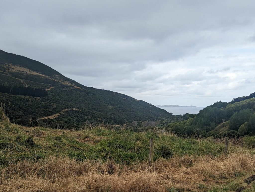
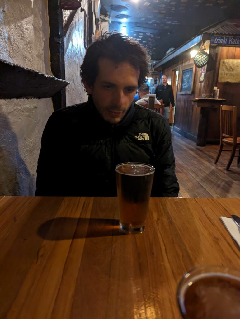
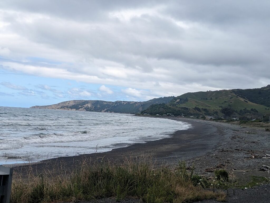
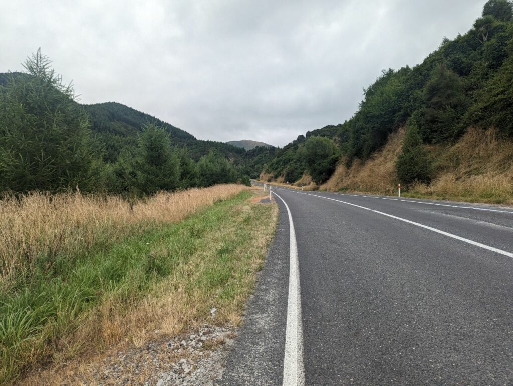
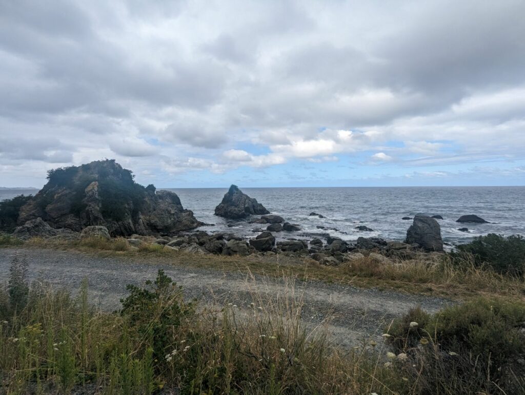
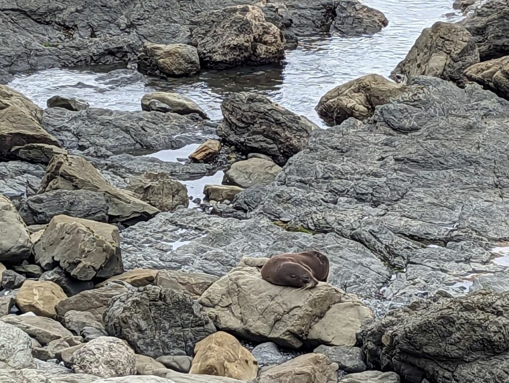
Avant de partir, beaucoup de personnes dans le camping nous ont prévenus qu’il y aurait pas mal de « hills » Bah finalement ça allait plutôt bien. Pas de vent de face une petite pluie et une vue splendide quand on rejoint la côte On s’attendait à une journée difficile mais qui s’est plutôt bien déroulé ! Et ce soir c’est BURGER!!!
Kaikōura (/kaɪˈkɔːrə/) is a town on the east coast of the South Island of New Zealand. It is located on State Highway 1, 180 km north of Christchurch. The town has an estimated permanent resident population of 2,330 (as of June 2022).[1]
The town is the governmental seat of the territorial authority of the Kaikōura District, which is politically a part of the Canterbury region.[2] Kaikōura was the first local authority in the Southern Hemisphere to achieve recognition by the EarthCheck Community Standard.[3]
The infrastructure of Kaikōura was heavily damaged in the 2016 Kaikōura earthquake, with one of the two deaths near the town. The bay and surrounding region were uplifted by as much as 2 metres (6 ft 7 in).
History
Early Māori history
Māori have long been resident in Kaikōura and archeological evidence of moa bones suggesting that they hunted moa there. After the moa numbers declined, Kaikōura was still an attractive place to live with its abundance of sea food. Ngāi Tahu had been resident in the Kaikoura area since at least 1670.[4] Numerous pā sites are located around Kaikōura. The numbers vary between 14 and 40.[5][6]
Captain James Cook saw Kaikōura in 1770 but did not land there. He reported seeing four double hulled canoes approaching HMS Endeavour containing 57 Māori.[7][8]
In 1827 or 1828, Kaikōura was the site of a battle between the Ngāti Toa (led by Te Rauparaha) and Ngāi Tahu. Several hundred Ngāi Tahu were killed or captured.[7] Ngāi Tahu were surprised by the Ngati Toa raiding party as they were expecting a visit from Ngāti Kahungunu with whom they were friends.[4]
Whaling stations
A whaling station was first established by Robert Fyffe in 1842 at Kaikōura. The Fyffe family was the first European family to settle in Kaikōura. John Guard and his family joined Fyffe sometime between 1844 and 1846. 40 men were employed at the whaling station initially. In 1845, he purchased a second whaling station at South Bay. This second whaling station (Fyffe’s Village) became the commercial centre of Kaikōura until 1867. Fyffe diversified into shipping and farming due to the decline in whale numbers.[9] The Marlborough Express newspaper commented in 1866 that « whales seemed to have abandoned coming to Kaikōura ».[8] The whaling stations continued until 1922.[7]
Mt. Fyffe owes its name to the Fyffe family. The cottage that the Fyffe family lived in, built in 1842, still stands, and is now a tourist attraction operated by Heritage New Zealand. The construction of the cottage is unusual in that the supporting foundations of the house are made of whalebone.[10]
European settlement
The New Zealand government purchased land north of Kaikōura from Ngati Toa in 1847. This was challenged by Ngāi Tahu who said that Ngati Toa had no right to sell land that did not belong to them. In 1857, the New Zealand Government made an offer for land between the Ashley and Waiau Uwha rivers for 200 pounds which was signed by Ngāi Tahu. Other land deals were completed in the area leaving small reserves for local Māori. These reserves were reduced after 1900 when the New Zealand government compulsorily acquired further land for the proposed railway and « scenic » purposes.[4]
From the 1850s, land that had been acquired was sold to European settlers who most often started sheep farms in the area. Many small blocks were sold around the Kaikōura peninsula and in the 1870s roads and bridges were built. A small wharf was completed in 1863. The Inland Kaikōura Road to Rotherham was completed by 1888. The road that became state highway 1 was started in the 1890s across the Hundalee Hills with bridges across the rivers completed in 1914.[4]
A total of 59 Norfolk pines were planted from 1900 along the Esplanade. These now have « protected trees » status from the Kaikōura District Council.[5]
20th century
The population increased as a result of the extensive works required to built the railway in 1935. In December 1945, the Christchurch to Picton railway line was officially opened at Kaikōura. 5000 people came out to celebrate the occasion.[11] The population fell slightly after the railway was completed.[4]
Between 1945 and 1960, over-fishing led to a decline in the crayfish numbers.[4]
In 1962 the roll-on/roll-off car ferry between Wellington and Picton brought more visitors to Kaikōura.[11][12] There was only one motel (with 40 beds) prior to 1962.[4]
There are reports that between 1963 and 1964, 248 sperm whales in Kaikoura waters were killed during the last of the whaling activity in New Zealand.[8]
Kaikōura struggled economically during the 1970s. In 1975 there were 304 motel beds and a further 500 camp ground beds and hotel beds. The Marlborough Regional Development Council noted that there was investment in accommodation but not in tourist attractions at this time.[4]
By 1975 the decline in crayfish numbers had extended to other fish species. In 1975 there were 97 registered fishing vessels operating out of Kaikoura.[4]
The restructuring of the economy following the election of the Labour government in 1984 also affected Kaikōura adversely. Farm incomes dropped. Public sector employment was affected badly. There were 170 jobs lost in a town of 3000.[4]
In 1985 a group of local Kaikoura people established a tourist centre, and began promoting Kaikōura as a tourist destination. The focus at that stage was on the walking opportunities and the scenery.[4]
Whale-watching was established as a tourist venture in Kaikōura in 1987. Local Māori leaders were concerned about local unemployment, and mortgaged their houses to buy a 6.7 metres (22 ft) boat to start up a whale watching business to see the local sperm whales. In the first year of business, 3000 tourists took the opportunity to see whales. This has greatly expanded to more than 100,000 per annum.[13][14][8]
2016 Kaikōura earthquake
On 14 November 2016, a 7.8-magnitude earthquake struck the South Island just after midnight. It left two people dead (one near the town and one in the adjacent Hurunui District) and triggered a small tsunami. One thousand tourists and hundreds of residents were stranded in Kaikōura after the earthquake cut off train and vehicle access.[15][16] New Zealand Air Force helicopters ferried many people out of Kaikoura initially[17] with the New Zealand navy sending HMNZS Canterbury to ferry many hundreds of tourists out.[18]
1700 construction workers completed two million man hours to repair the quake-damaged route along State Highway 1 after the 2016 Kaikōura earthquake. It reopened on 15 December 2017.[19] The repairs included fixing almost 200 kilometres (120 mi) of damaged road and a similar length of railway line. The repairs cost NZ$1.1 billion.[20]
The rebuild after the 2016 earthquake had replaced or upgraded many of Kaikoura District Council’s assets. These included replacing the oldest water mains built in the 1920s and many roads. This has left Kaikoura better placed financially in 2021 than many councils as they do not have to replace these in the next 30 years as part of their long term planning.[21]

