Petite journée en théorie aujourd’hui qui s’est avérée être très dure !
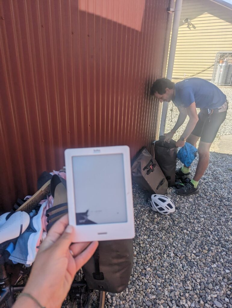
On débute la journée par du matériel cassé ( la Kobo de Martin, ce qui facilite l’achat de son cadeau d’anniversaire de demain ^^)
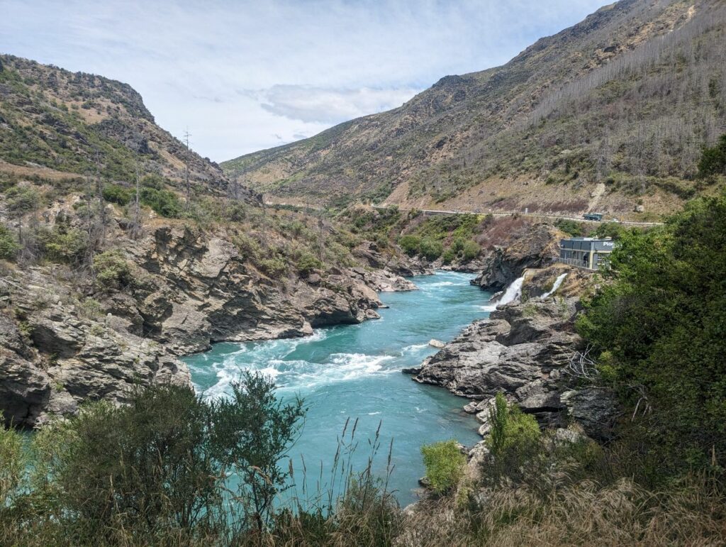
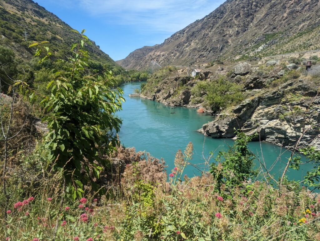
Puis on prend un cycle trail qui était en fait plus pour les VTT : du coup on pousse presque tout le long 5 km en 1h!
Quand on retrouve la route on se prend du vent en pleine face, on a l’impression de monter tout du long
On s’arrête dans un resto qui est en même temps un vignoble avec dégustation de vin vers 14 h 30 mais trop d’attente pour manger! Il nous redirigé vers le café du saut en parachute !
Après avoir bien mangé on hésite pas mal pour sauter mais bon on avait » bien mangé »
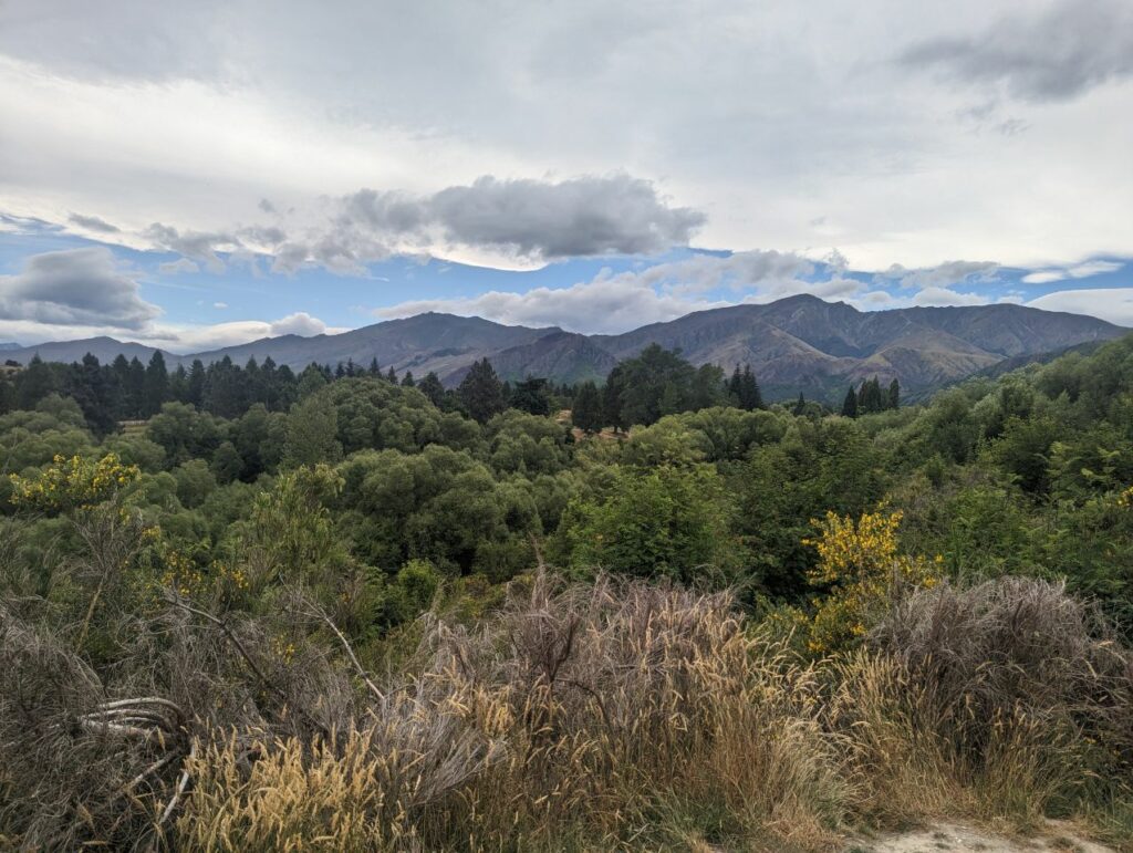
Reprise de ma route avec le fameux vent pour Arrowtown où on pose la tente dans un camping bondé
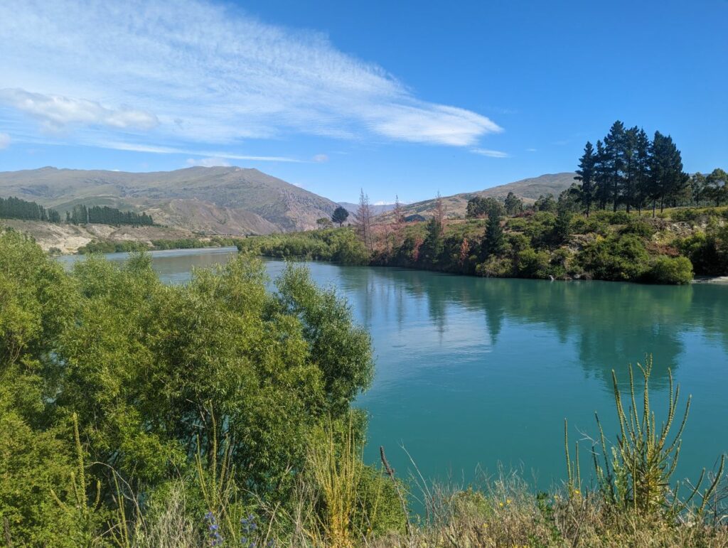
ARROWTOWN
29 Decembre 2022
Arrowtown (Māori: Haehaenui) is a historic gold mining town in the Otago region of the South Island of New Zealand. Arrowtown is located on the banks of the Arrow River approximately 7.5 km from State Highway 6. Arrowtown is located 19.5 kilometres to the east of Queenstown. As well as the route via State Highway 6 between Arrowtown and Queenstown, there is also road access directly to Queenstown via the Shotover Gorge and a third route via the picturesque Lake Hayes.
There are many well preserved buildings that were used by the European and Chinese[3] immigrants who settled during the town’s gold mining era.
History
Gold was found in the Arrow River in 1862, and a township of 1,000 miners soon sprang up. It was initially named Fox’s,[4] based on William Fox’s claim to have been first to find gold there, but was soon renamed Arrowtown. Chinese settlers, who first arrived in the 1870s[4] in Arrowtown were forced to live in huts on the banks of Bush Creek.[5] At the high point of the gold rush, the population of Arrowtown rose to over 7,000 and it became the centre of a larger municipality, which covered the new settlements of Macetown, Skippers Canyon and Bullendale (today only ghost towns).
Arrowtown was constituted as a borough in 1867[6] In 1874, the first mayor was elected. This was Samuel Goldston. A large fire burned down Campbell’s bakery, the Morning Star Hotel and a significant portion of Pritchard’s Store in 1896.[7]
In 1888, the name of Arrowtown had yet to be finalised with the local post office calling the town Arrow River, while the telegraph office referring to the town as Arrowtown.[8]
After the gold rush ended, Arrowtown provided services to the local farms.[7]
Arrowtown became part of the Queenstown-Lakes District in the local government reorganisation of 1989.
Arrowtown was named « the most beautiful small town » in New Zealand in the 2020 Keep New Zealand Beautiful awards.[9][10]
Climate
Arrowtown sits at 482 metres above sea level. Arrowtown has been described as having four distinct seasons.[11] The driest month of the year is February with 96mm of rain on average and the wettest month of the year is December with 144mm of rain on average. January is the warmest month of the year with an average maximum temperature of 16 and 18 degrees Celsius. July is the coolest month of the year with an average maximum temperature of 5 degrees Celsius.[12][13][14]

