
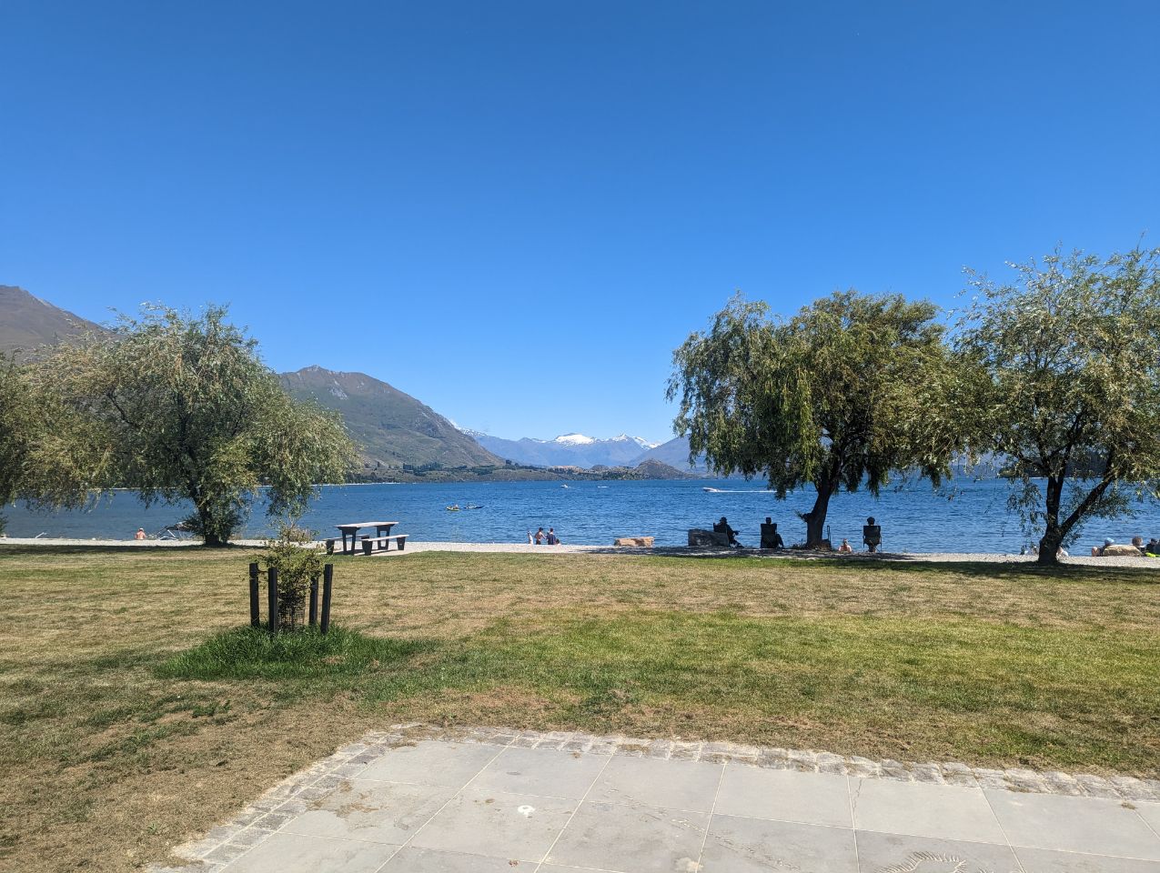
Première vraie journée d’été aujourd’hui il fait ultra chaud
Et on se remet en selle ( ça fait bizarre car presque 10 jours sans vrais journée de vélos ) c
C’est un peu dur avec la chaleur en plus on est parti tard parce que comme c’est le pic de la saison il n’y a plus trop de place dans les campings donc le temps de se décider de où on allait
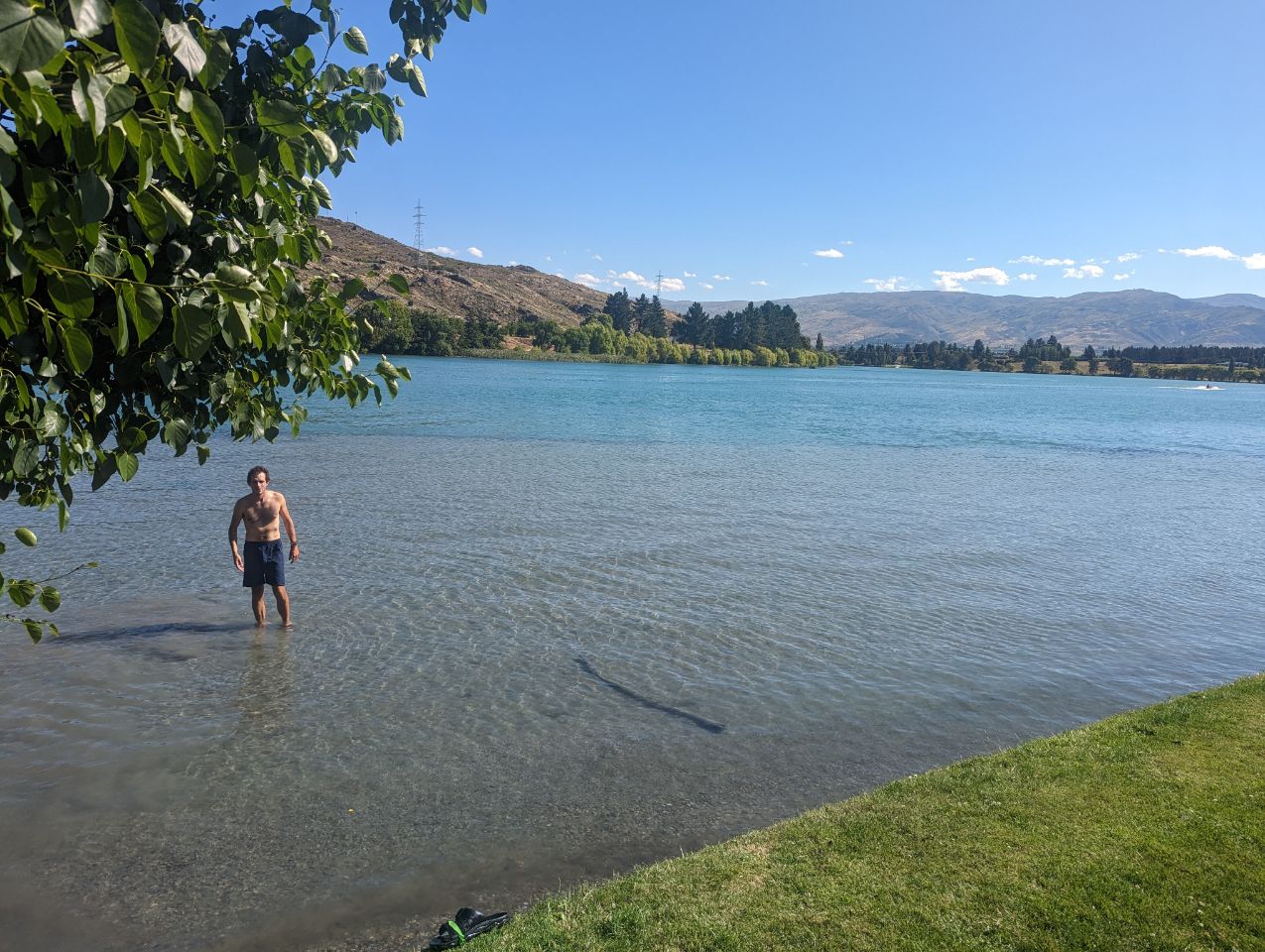
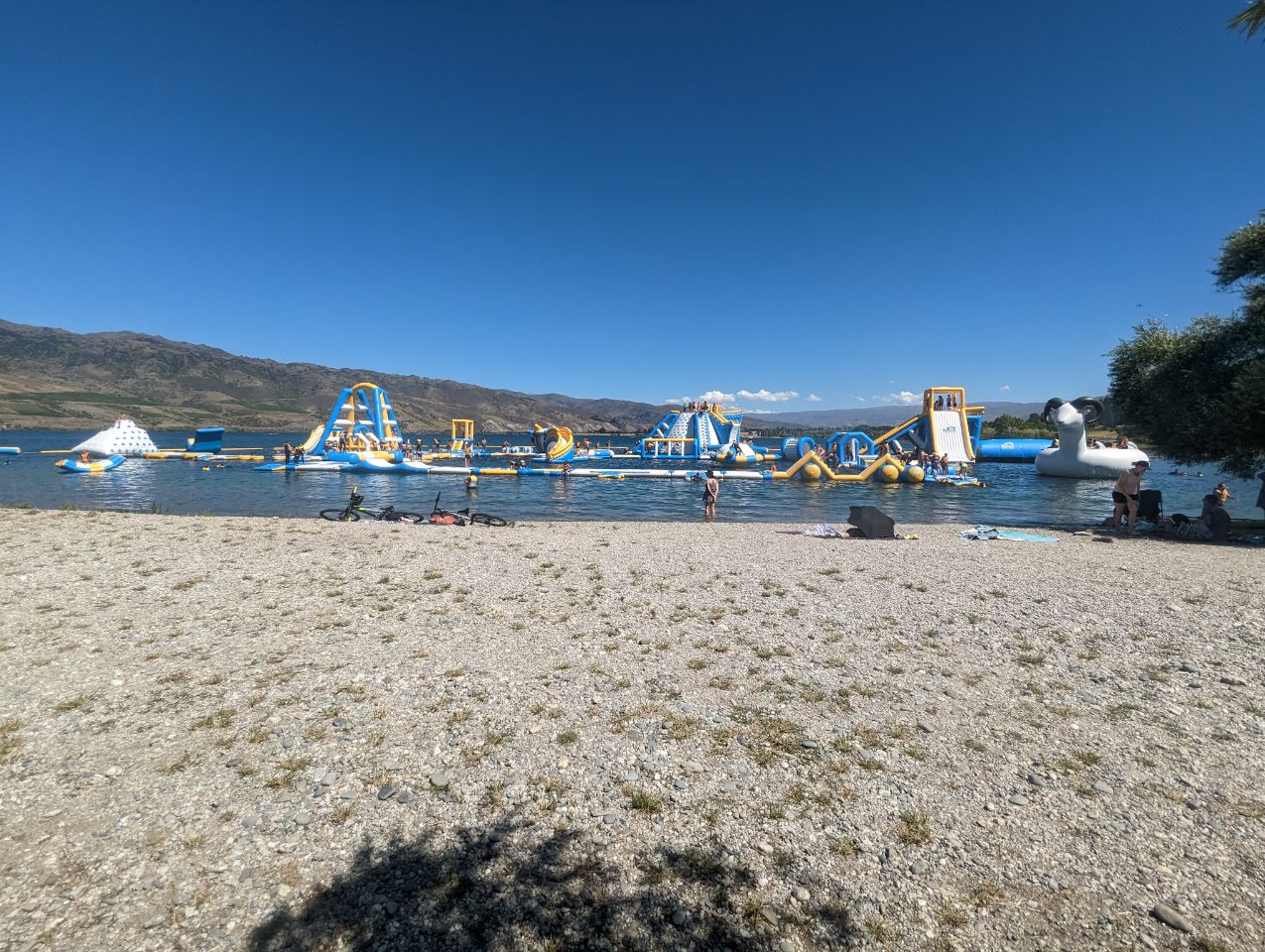
Du coup direction cromweelll sur la route on croise un parc aquatique qui fait de l’oeil à Martin mais on décide de continuer et on pique une tête un peu plus loin dans le lac
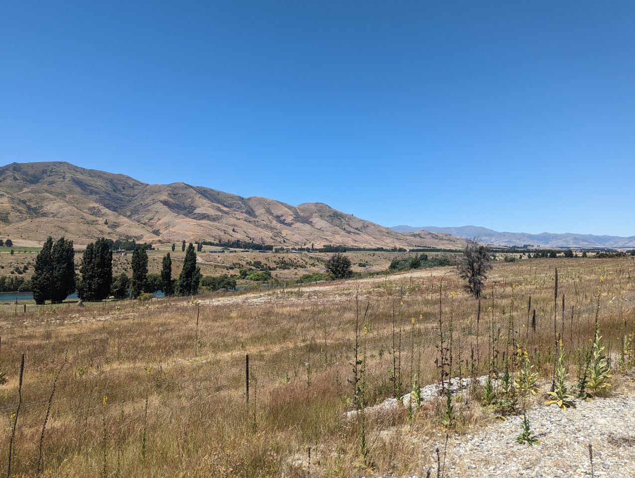
Une sacré montée avant d’arriver au camping mais à l’arrivée la gentille proprio nous offre une chambre
CROMWELL COMMUNITY
28 DECEMBRE 2022

Cromwell (Māori: Tīrau) is a town in Central Otago in the Otago region of New Zealand.
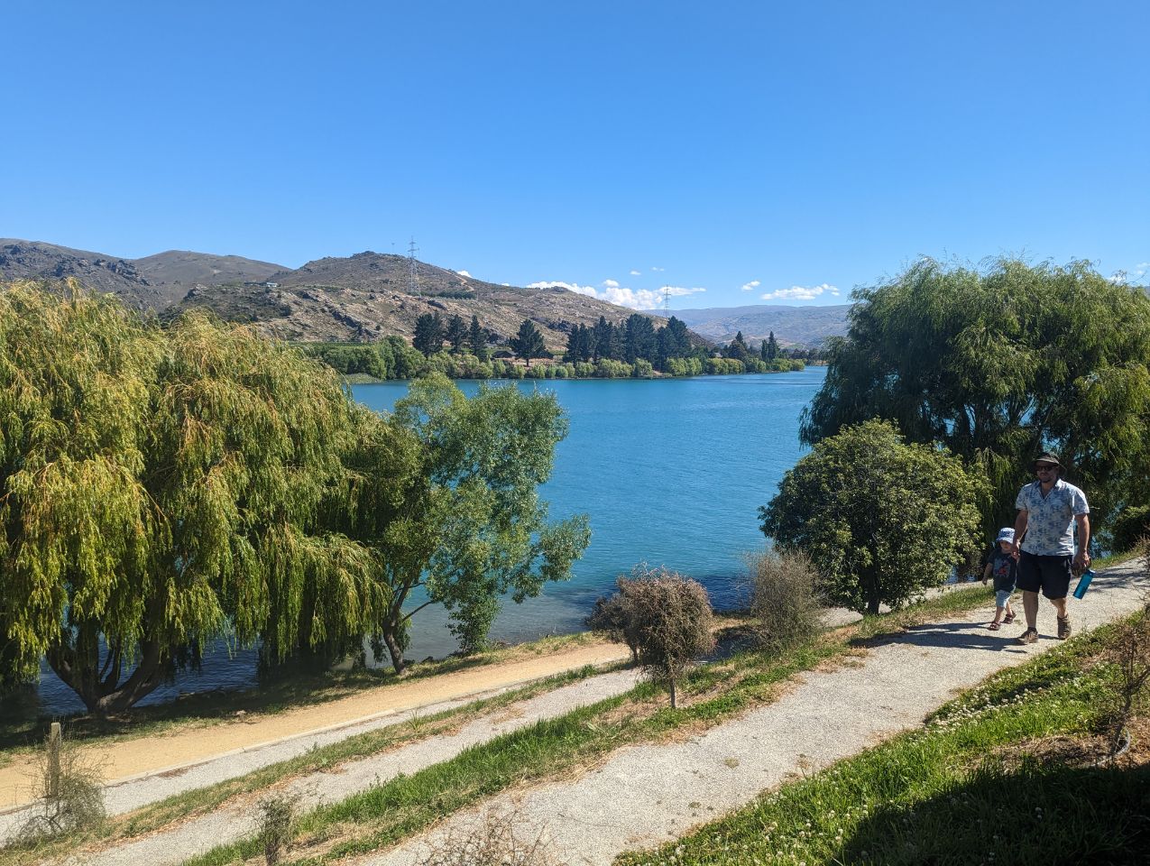
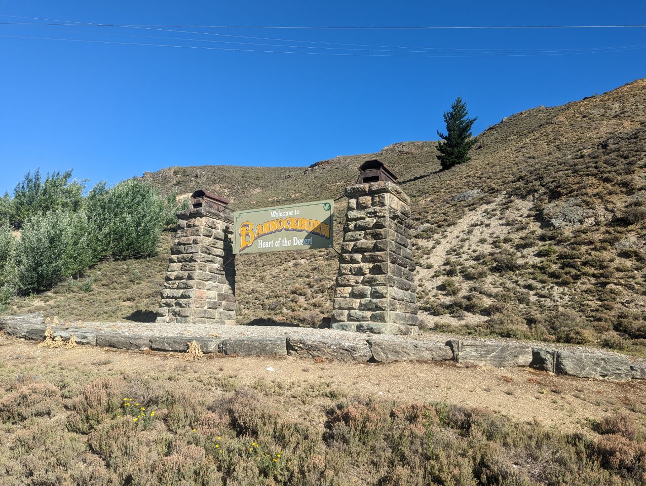
Cromwell is between State Highway 6 (linking to Wānaka, 50 kilometres (31 mi) north, and Queenstown, 60 kilometres (37 mi) west) and State Highway 8 leading to the Lindis Pass, 75 kilometres (47 mi) northeast, and Alexandra, 33 km south. The road to Alexandra winds through the Cromwell Gorge. A point near Cromwell lies 119 kilometres from the sea, the farthest from the sea anywhere in New Zealand.[3] A prominent feature surrounding much of the town is the man-made Lake Dunstan. Cromwell also has the newly constructed Highlands Motorsport Park. Nearby settlements are at Bannockburn, Lowburn, Tarras, and Ripponvale.
Cromwell is also the home of the Cromwell Chafer Beetle (Prodontria lewisi).
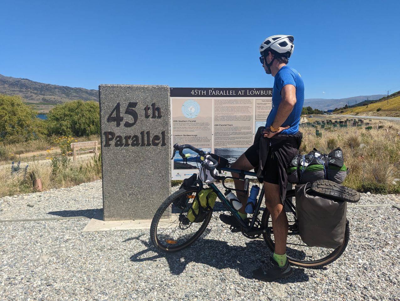
The 45th parallel south runs just north of the township.
History
Cromwell was originally known as « The Junction », being at the confluence of the Clutha River / Mata-Au and the Kawarau River. In 1862, gold was discovered below the Junction by two miners, Hartley and Reilly. Once the word of a gold strike was out, there was an influx of several thousand miners to the area. Its newspaper, The Cromwell Argus, was established in 1869.[4]
As gold ran out, Cromwell became the service centre for an extensive farming and stone fruit growing area. It has a strategic location between the Lindis and the Haast passes, and acts as a hub between the towns of Wānaka, Queenstown and Alexandra. The former is commemorated with the giant sculpture of stone fruit which stands outside the northern end of the town.
Cromwell lay at the confluence of the Clutha River and the Kawarau River, which was noted for the difference between the colours of the waters of the two rivers and also for the historic bridge at the convergence of the two. Since the construction of the Clyde Dam and the filling of Lake Dunstan in the early 1990s the river confluence was drowned, as was the old town centre.
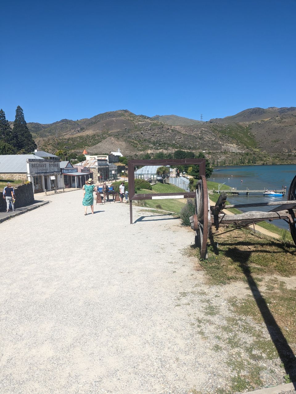
The decision to build Clyde Dam and use Cromwell as the accommodation base brought many changes to the town. Approximately one-third of the town was rebuilt on higher ground. The changes included the doubling of the residential area, relocation of the old town centre (now called « Old Cromwell Town »), upgrading of services, and the provision of modern educational and sports facilities, and a new bridge. The relocated town centre, or « The Mall, » now houses the main retail, service and civic buildings in Cromwell. Several of the old buildings of the town which escaped the flooding have been retained as a historic precinct close to the shore of the Kawarau.
The town was named after Oliver Cromwell[5] and, as well as « The Junction », the town was previously known as « The Point » and « Kawarau ».
Cromwell is nicknamed the « Fruit Bowl of the South ».