
FIORDLAND COMMUNITY 2
04 JANUAR 2023

Fiordland is a geographical region of New Zealand in the south-western corner of the South Island, comprising the westernmost third of Southland. Most of Fiordland is dominated by the steep sides of the snow-capped Southern Alps, deep lakes, and its steep, glacier-carved and now ocean-flooded western valleys. The name « Fiordland » comes from a variant spelling of the Scandinavian word for this type of steep valley, « fjord« . The area of Fiordland is dominated by, and very roughly coterminous with, Fiordland National Park, New Zealand’s largest National Park.
Due to the often steep terrain and high amount of rainfall supporting dense vegetation, the interior of the Fiordland region is largely inaccessible. As a result, Fiordland was never subjected to notable logging operations, and even attempts at whaling, seal hunting, and mining were on a small scale and short-lived, partly also because of the challenging weather.[1] Today, Fiordland contains by far the greatest extent of unmodified vegetation in New Zealand and significant populations of endemic plants and threatened animals, in some cases the only remaining wild populations.
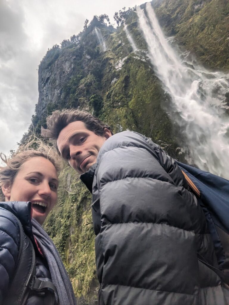
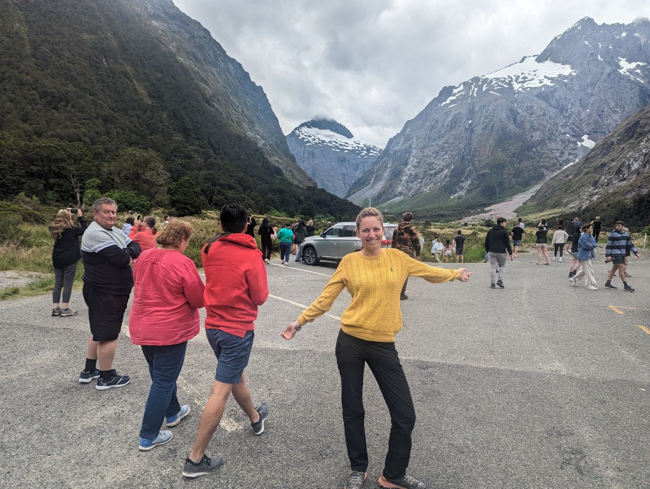
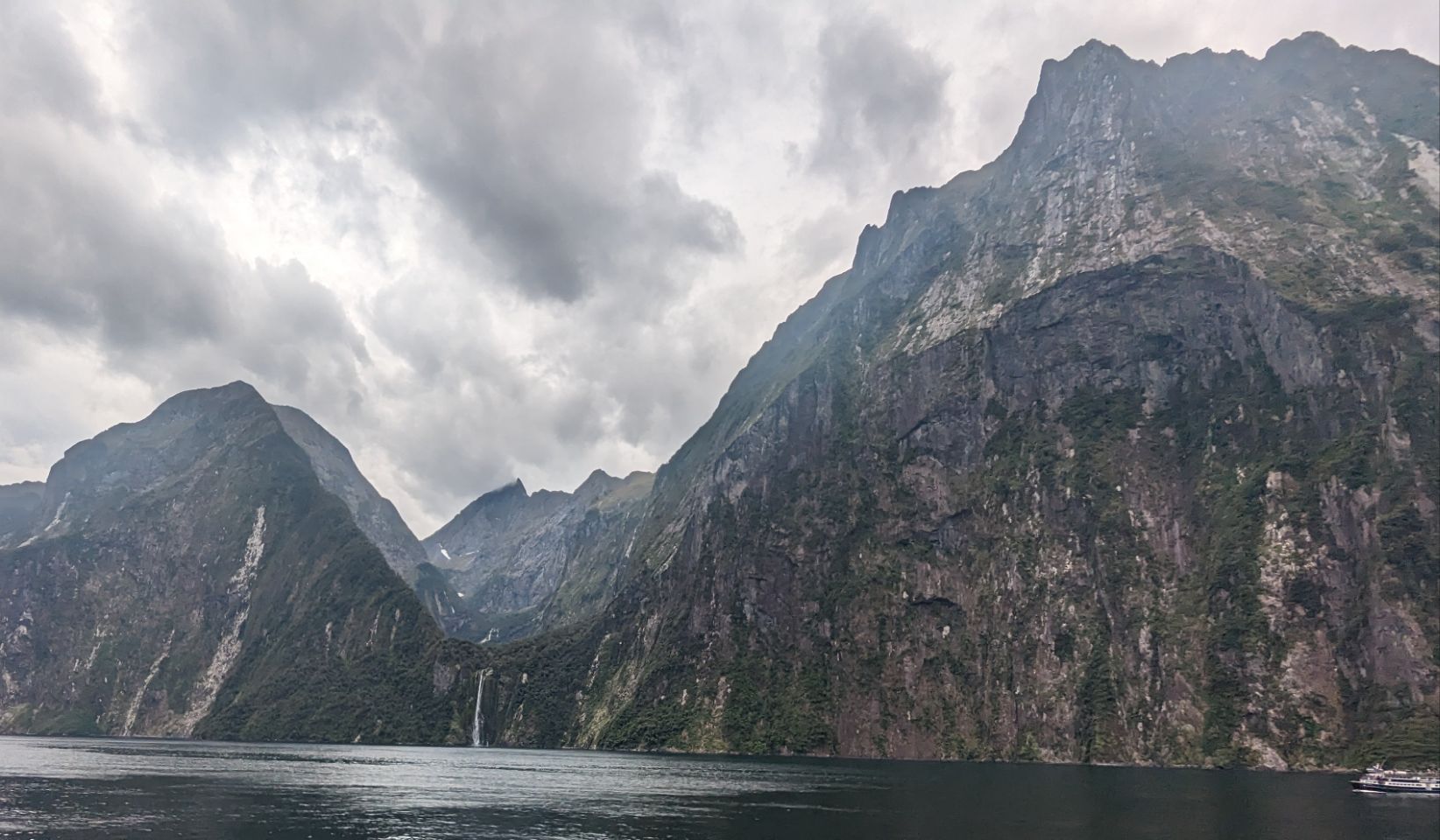
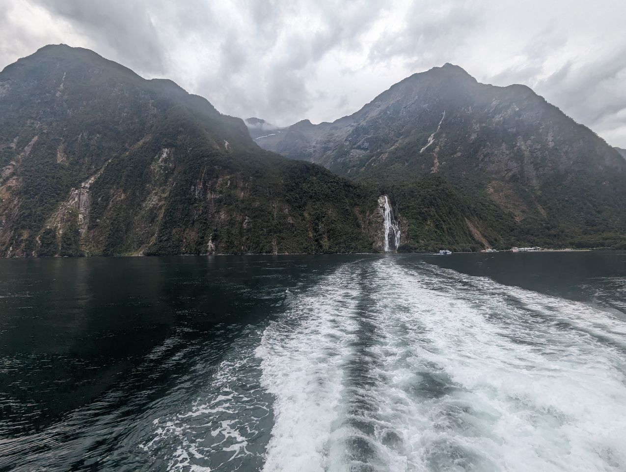
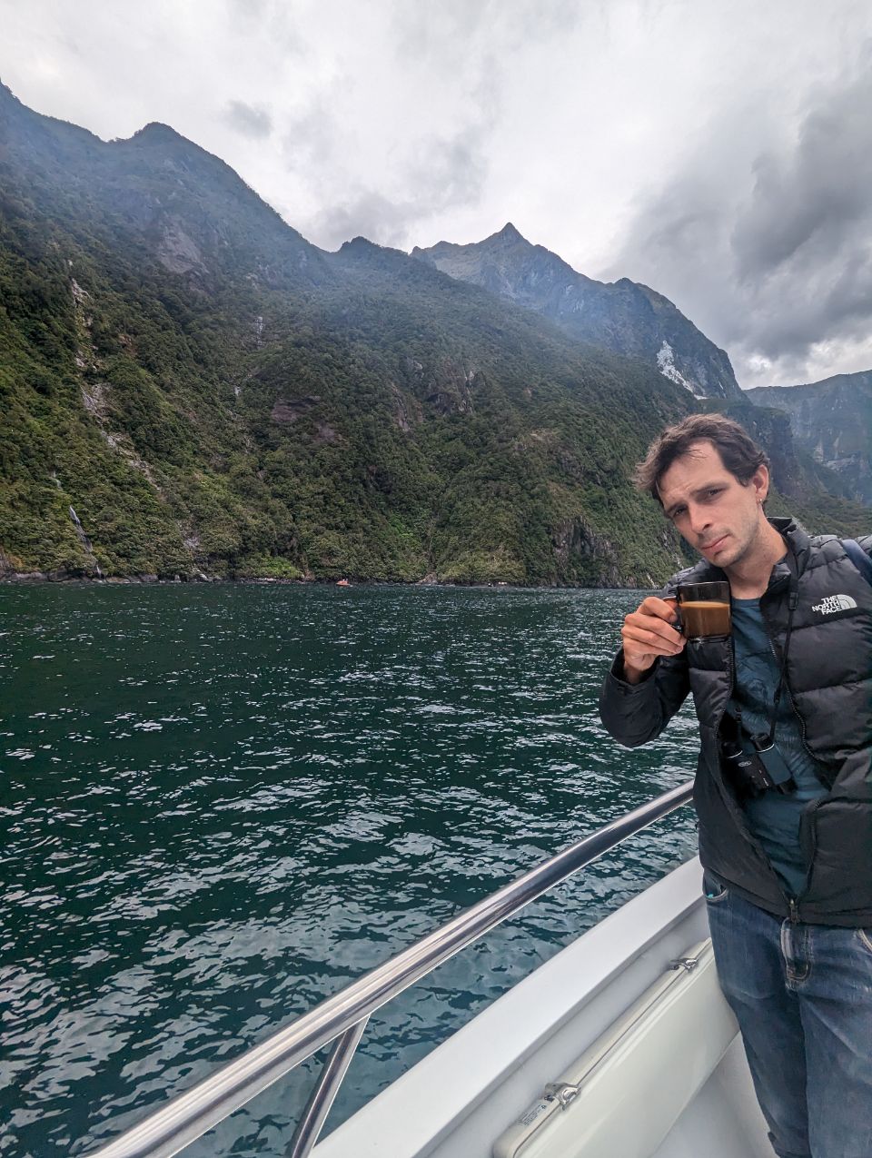
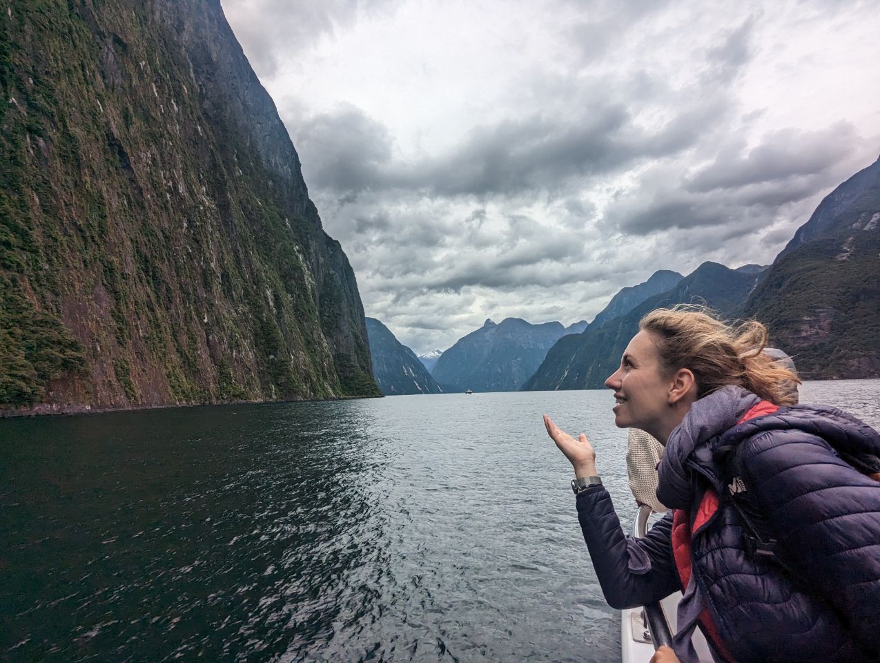
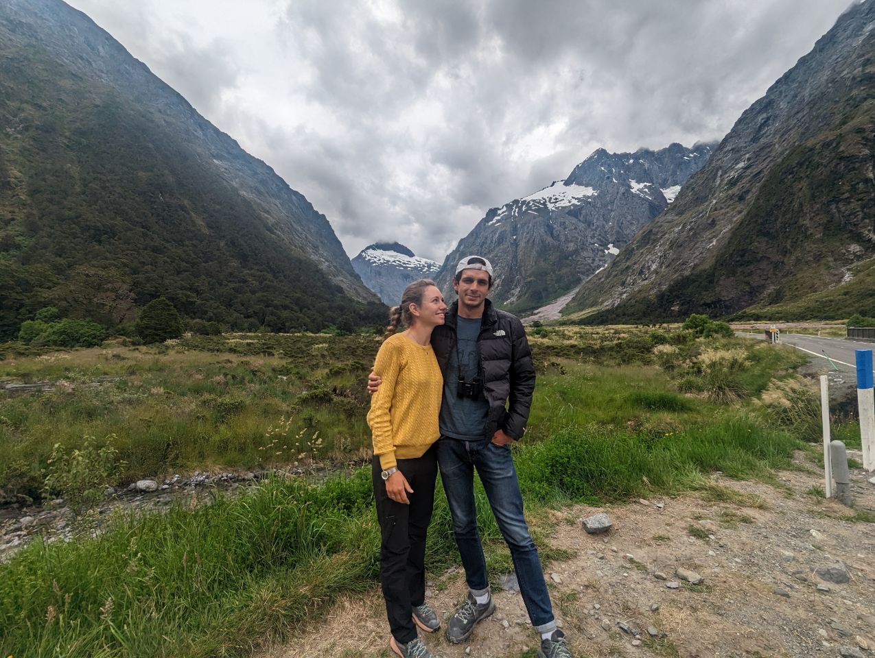
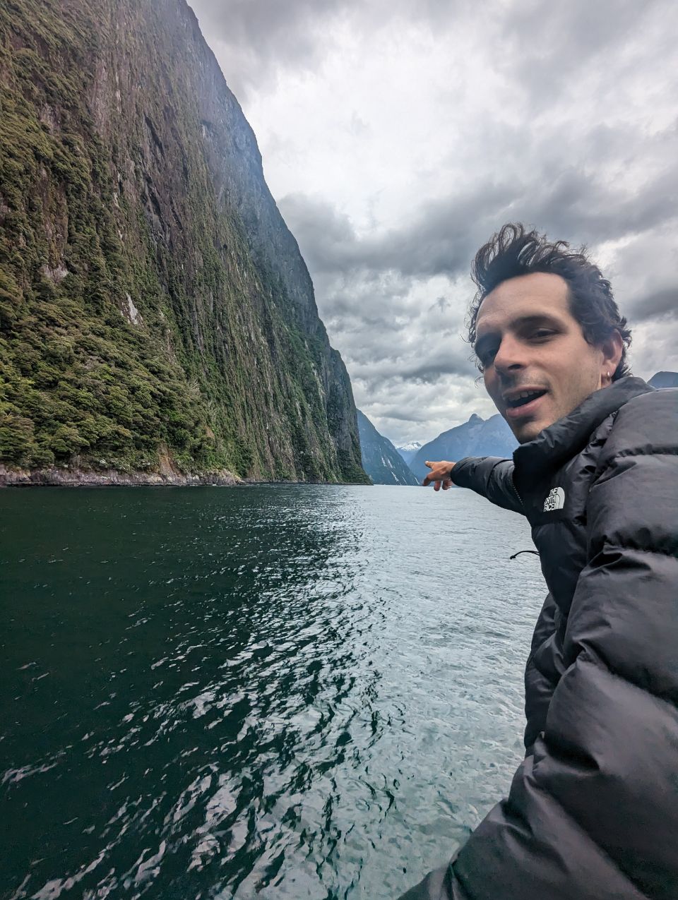
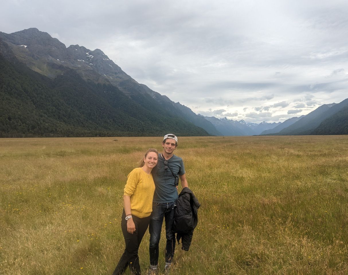
Fiordland features a number of fiords, which in this area are typically named sounds, reflecting the fact that sometimes fiords are considered to be a type of a narrow sound. Of the twelve major fiords on Fiordland’s west coast, Milford Sound / Piopiotahi is the most famous and the only one accessible by road. Doubtful Sound / Patea, which is much larger, is also a tourist destination, but is less accessible as it requires both a boat trip over Lake Manapouri and bus transfer over Wilmot Pass.
Also situated within Fiordland are Browne Falls and Sutherland Falls, which rank among the tallest waterfalls in the world, and New Zealand’s three deepest lakes, Lake Hauroko, Lake Manapouri, and Lake Te Anau. Several other large lakes lie nearby, and Fiordland and the surrounding parts of Southland and Otago Regions are often referred to as the Southern Lakes. Only a handful of Fiordland’s lakes are accessible by road – Lake Poteriteri is the largest lake in New Zealand with no road access. Many of the region’s lakes are not even accessible via tramping tracks.
This part of New Zealand, especially to the west of the mountain divide of the Southern Alps, has a very wet climate with annual average of 200 rainy days and annual rainfall varying from 1,200 millimetres (47 in) in Te Anau to 8,000 millimetres (310 in) in Milford Sound.[2][3] The prevailing westerly winds blow moist air from the Tasman Sea onto the mountains, resulting in high amounts of precipitation as the air rises and cools down.
History
Fiordland has never had any significant permanent population. Māori knew the area well but only visited seasonally, for hunting, fishing and to collect the precious stone pounamu (New Zealand jade) from Anita Bay at the mouth of Milford Sound / Piopiotahi.[4]
In Māori mythology, the ancestral demi-god Tū-te-raki-whānoa carved the fiords from rock using his adze, perfecting his technique as he progressed from south to north, with the last fiord, Piopiotahi (Milford Sound), as his greatest achievement.
In 1770, Captain James Cook and his crew became the first Europeans to sight Fiordland. Cook returned and anchored in Tamatea / Dusky Sound for five weeks in 1773. The expeditions’ maps and descriptions of the area attracted whalers and seal hunters, but only in the mid-19th century did surveyors and prospectors begin exploring Fiordland’s interior.[5]
Between 1897 and 1908, two attempts at establishing a mining operation in the remote area of Rakituma / Preservation Inlet failed, and by 1914 the isolated small settlement of Cromartie (or Cromarty) there had been abandoned.[1][6]
The area was administered as Fiord County from 1876 until it was absorbed into neighbouring Wallace County in 1981. Since 1989, it has formed part of Southland District and of the wider Southland Region.
Boundaries

There are currently varying definitions for the boundary of the Fiordland region. The eastern boundary of Fiordland according to Statistics New Zealand stretches from Sand Hill Point on the western end of Te Waewae Bay more or less straight north, cutting through Lakes Hauroko, Monowai, Manapouri, and the South Fiord of Lake Te Anau, before veering northwest and ending with the southern side of Te Houhou / George Sound.[7] By that definition, the Fiordland region is almost entirely within the Fiordland National Park, except for small pockets near the two southernmost lakes, but the area does not include the three northernmost fiords (Milford Sound / Piopiotahi, Te Hāpua / Sutherland Sound, and Hāwea / Bligh Sound).
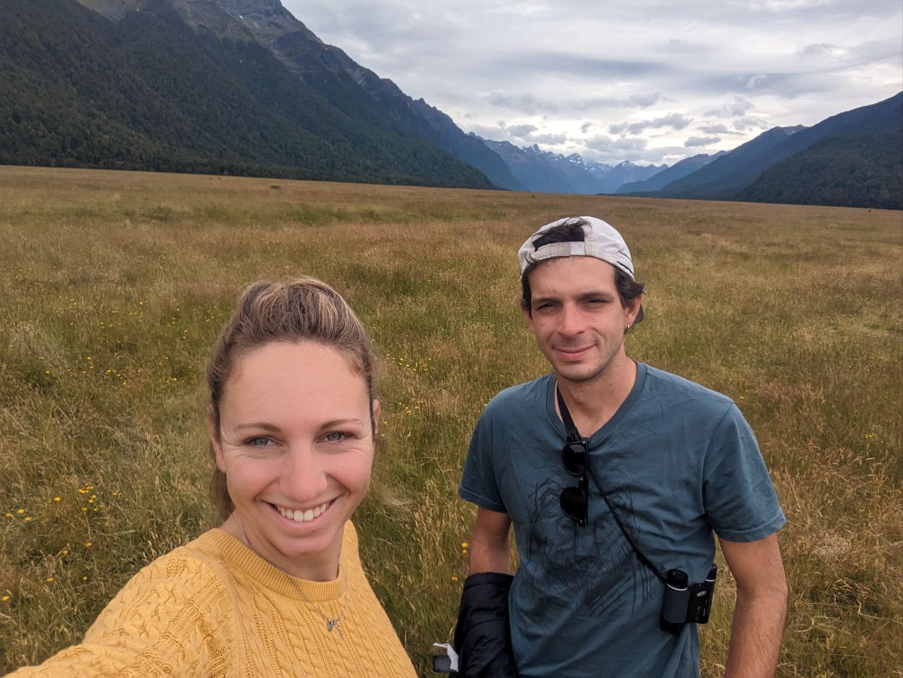
The much more widespread definition of « Fiordland » has an eastern boundary that roughly follows that of the Fiordland National Park for all but the northernmost end. This area contains all fiords as well as the Hollyford Valley and also includes the area around Big Bay, which lies to the north outside of the Fiordland National Park, but still belongs to the Southland Region. Tourism organisations[8] and the Department of Conservation[9][10] use this definition of the Fiordland region. New Zealanders generally regard the towns of Te Anau and Manapouri as part of the Fiordland region, even though they lie outside of the boundary of the national park.[11][5]