
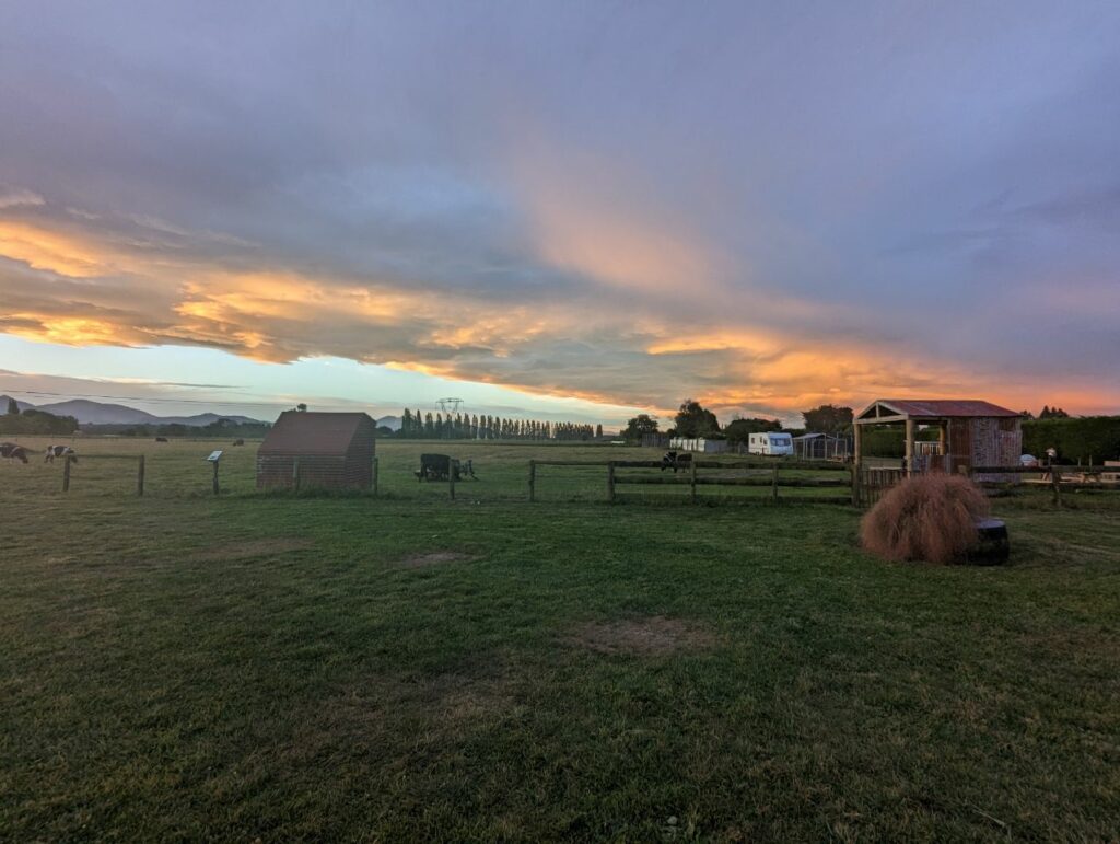
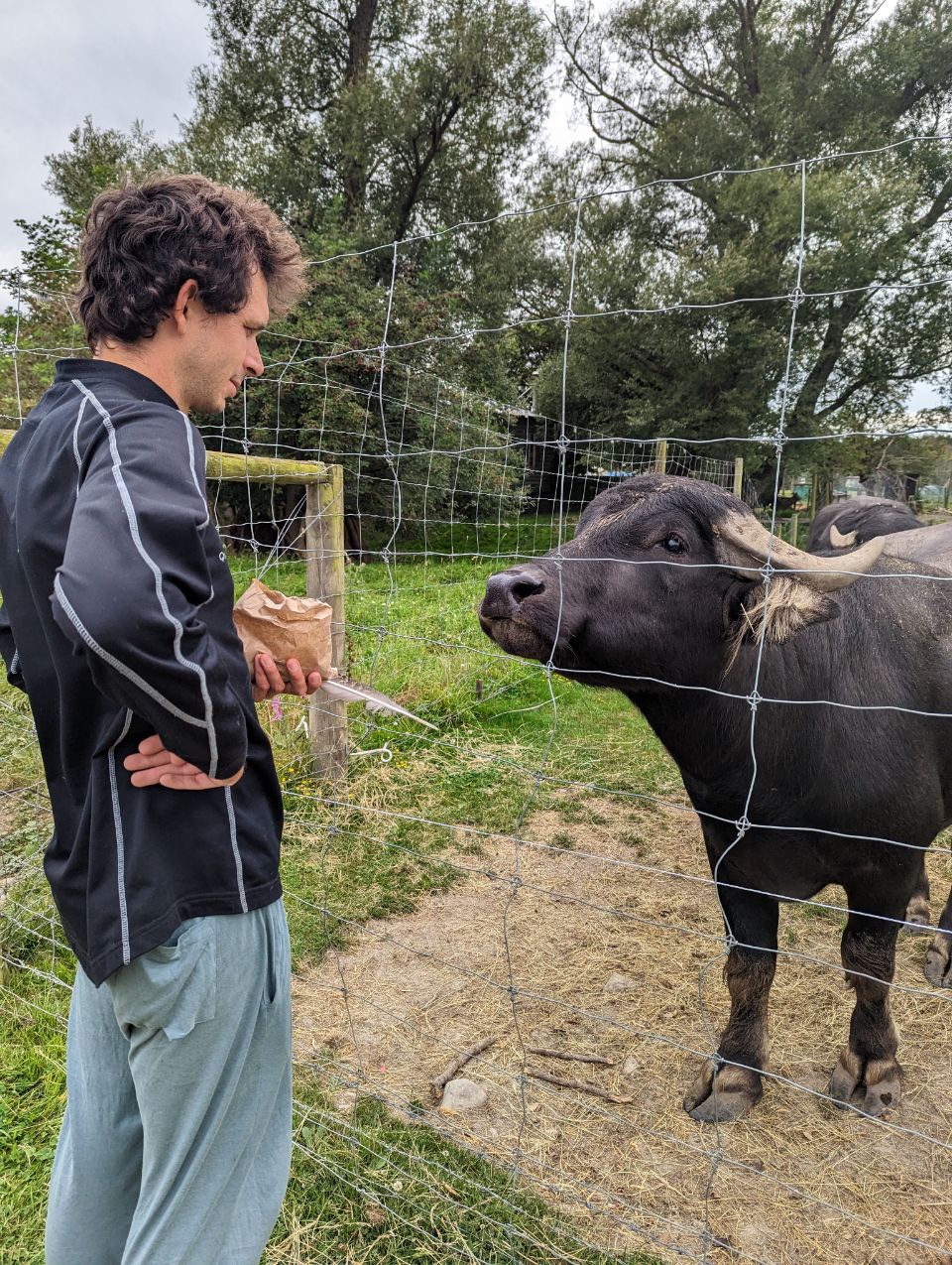
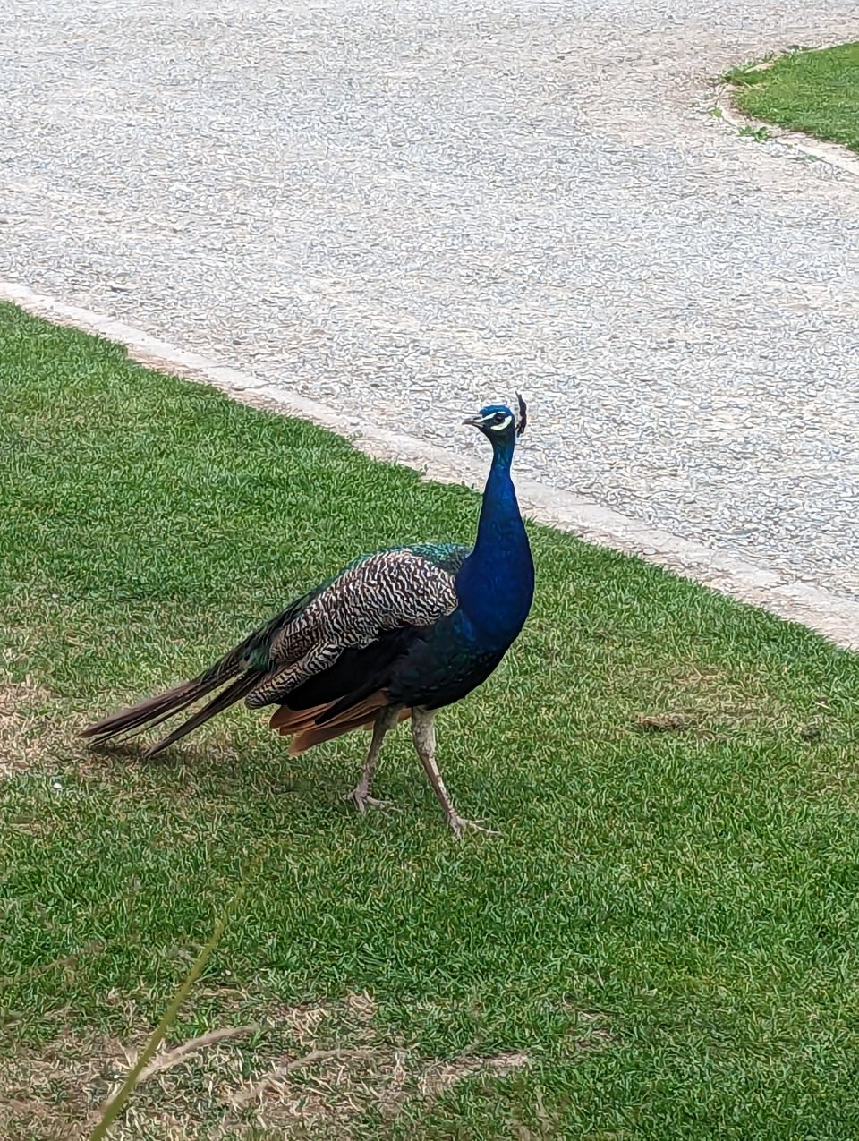
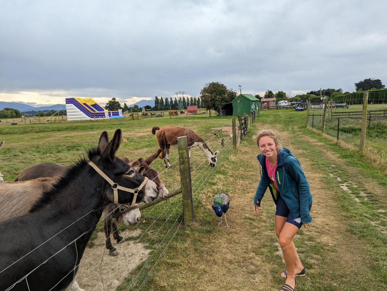
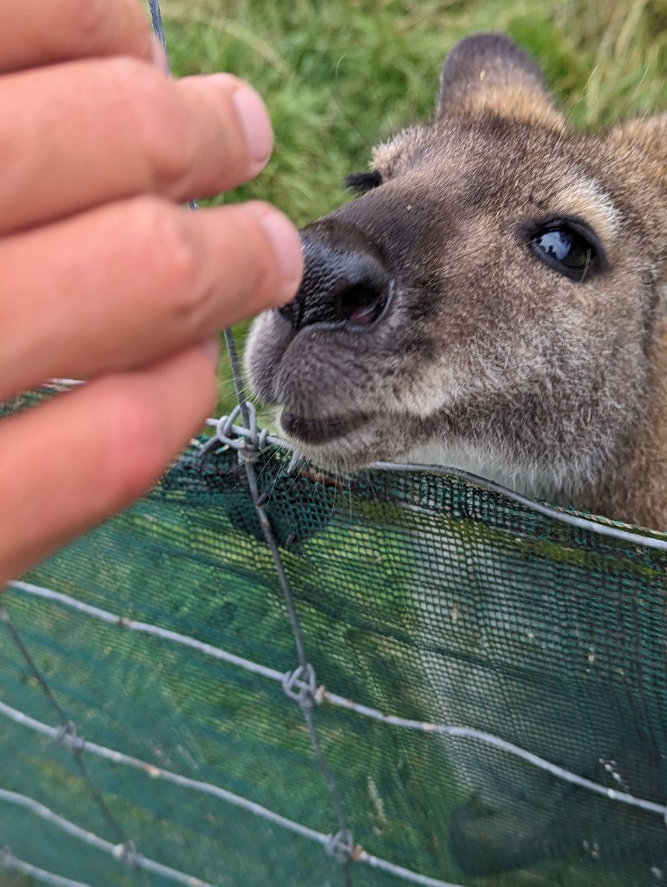
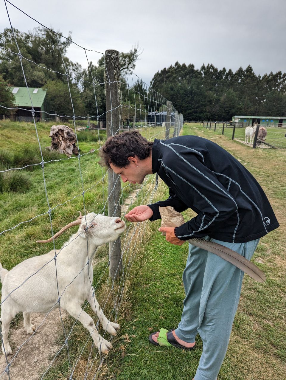
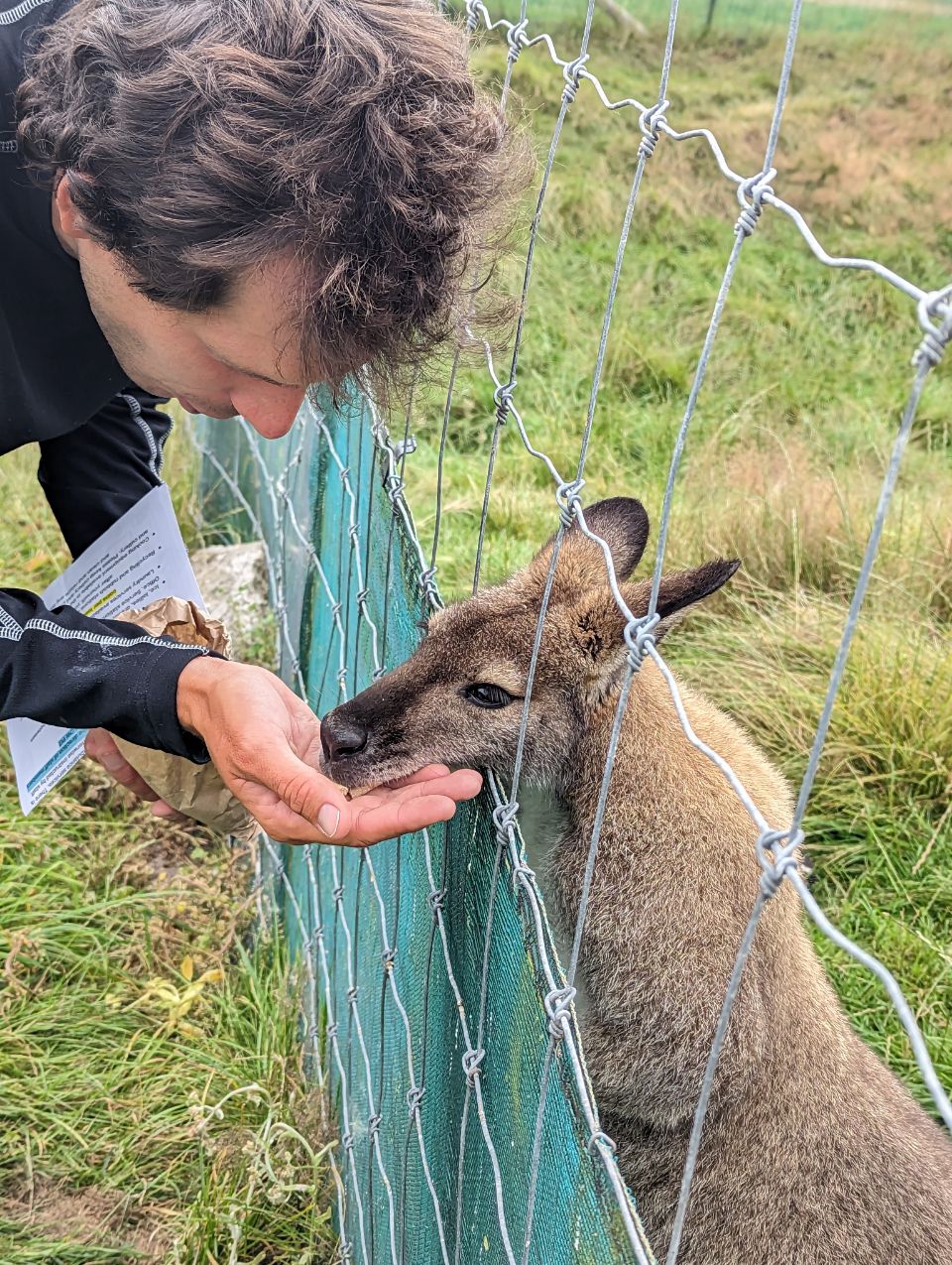
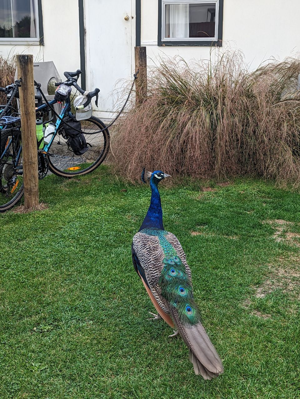
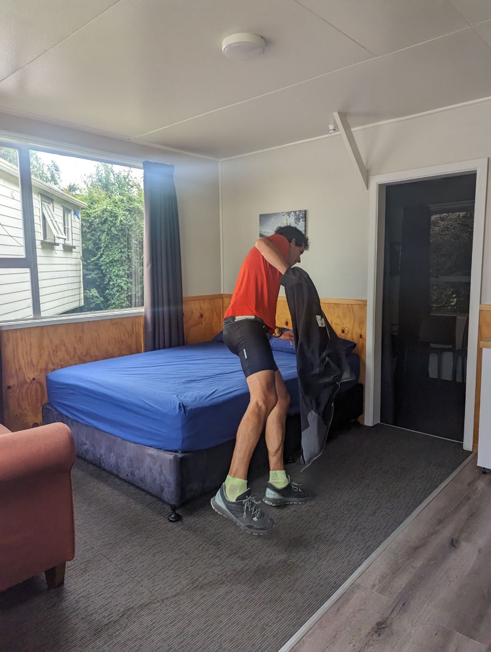
Le record de dodo en tente prend fin aujourd’hui ! Martin a enfin arrêté de bouder de ne pas avoir dormi en dur. Direction Géraldine à une 50 nes de kms Arrivée vers 13h on mange et on booké une Cabine !!! Après 23 jours consécutifs en tente on resora en dur !!! Le camping est dans une petite ferme. Du coup, on nourrit les animaux de la ferme et ensuite on profite du lit : série, manger, série, manger , film !!! Le feuuuuu
GERALDINE
2 FEBRUARY 2023

Geraldine (Māori: Heratini) is a town in the Canterbury region in the South Island of New Zealand. It is about 140 km south of Christchurch, and inland from Timaru, which is 38 km to the south. Geraldine is located on State Highway 79 between the Orari and Hae Hae Te Moana Rivers and 45 kilometres to the east of Fairlie.
History[edit]
There is evidence of Māori travels through the Geraldine area and artifacts and carvings have been discovered in the nearby areas of Beautiful Valley, Gapes Valley and Kakahu.[4] The area was part of the continuous Canterbury Purchase or Kemp’s Deed whereby over thirteen million acres was purchased by Henry Tacy Kemp on behalf of the Crown from Ngāi Tahu for £2,000 in 1848.[5] Following the purchase the colonial surveyor Charles Torlesse visited the region in 1849.[4] However, it wasn’t until 1854 when Thomas Cass, the Chief Surveyor for the Canterbury region and Guise Brittan, Commissioner for Crown Lands, proposed a town site at Talbot Forest.[4] Following this Samuel Hewlings under the employment of the government as a surveyor, constructed a bark hut where the probably future site of a town would be.[4] In fact, a totara tree planted to commemorate the birth of Hewling’s daughter with his wife Nga Hei, still stands today opposite the police station where his nearby bark hut once stood. While Hewlings was indeed the first to person to live in Geraldine, his residence was not permanent and Alfred Cox and William du Moulin abet on the other side of the river in Raukapuka were the town’s first permanent residents.[4] The town which up until 1857 was known as Talbot Forest was firstly named Fitzgerald in honor of James FitzGerald, the first Superintendent of the Canterbury Province. However, this was later changed to Geraldine though the exact reasoning for this is unknown.[4]
Growth in the township was slow at first with separate towns being constructed such as Healey Town in present-day south Geraldine, Maslin Town between Kennedy and Hislop Street and the German settlement known as German Town on the Downs.[4] By 1862 most of the main streets had been named and sections surveyed and the area gazetted in 1867.[6] At this time timber milling and the numerous sheep runs in the area were the main sources of commerce. The town experienced significant growth during this period and as the timber ran out farming took over as the major source of income in the area.
In December 1904, Geraldine was constituted a borough.[7]