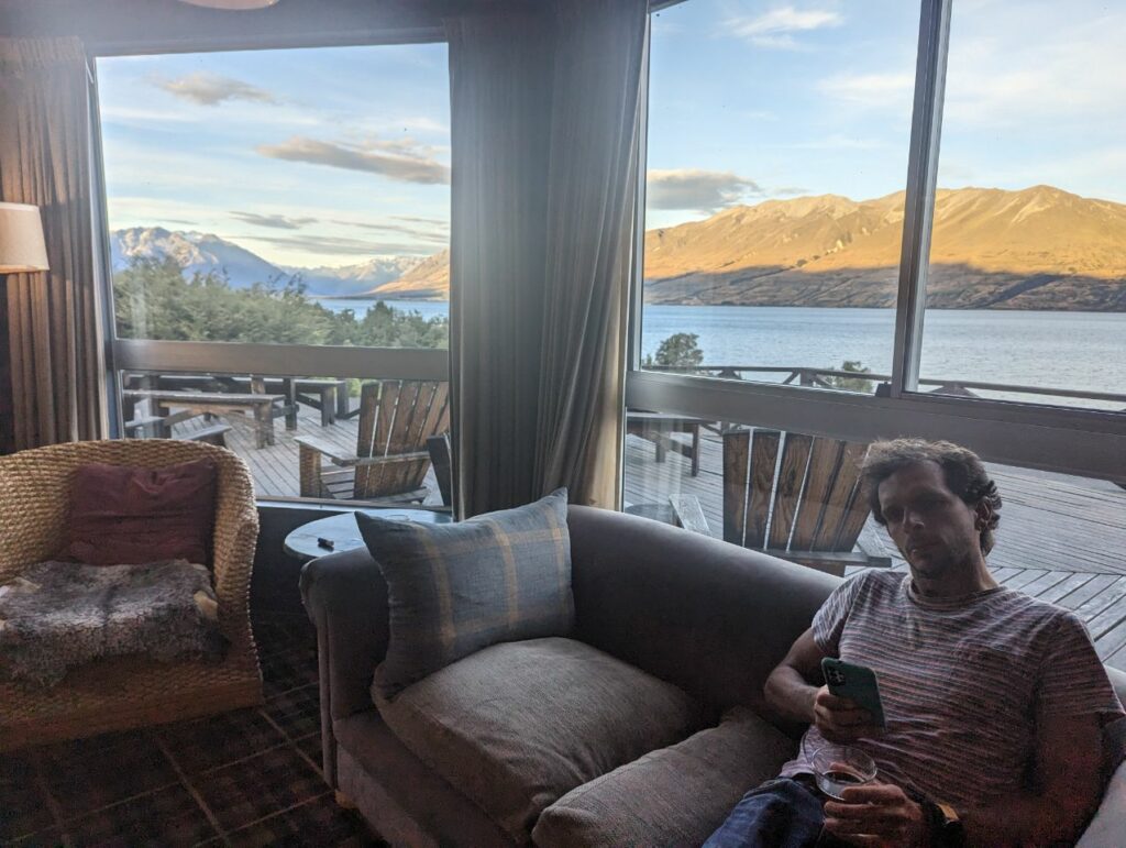
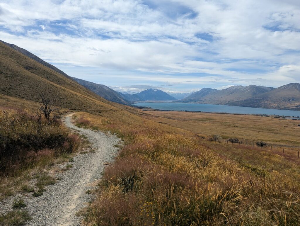
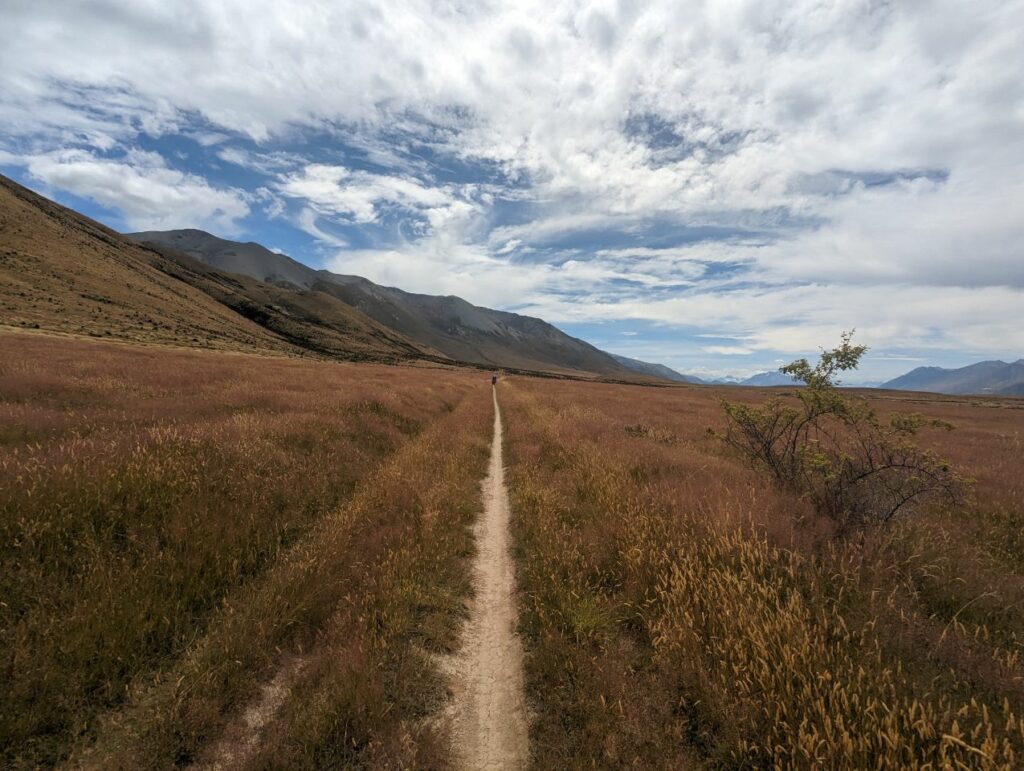
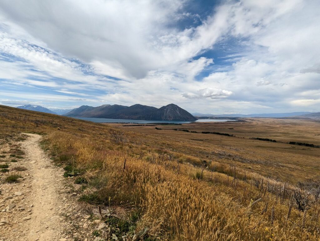
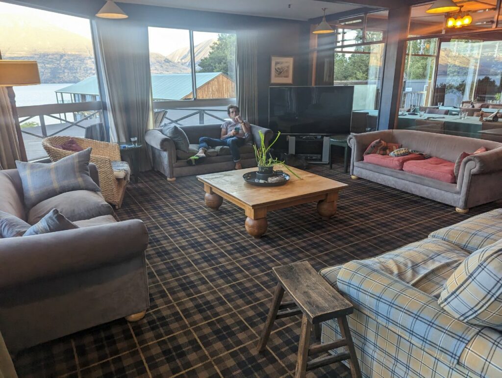
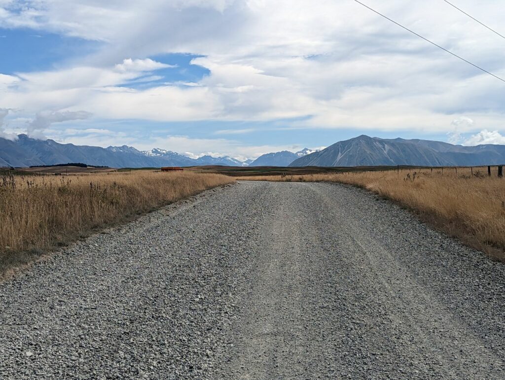
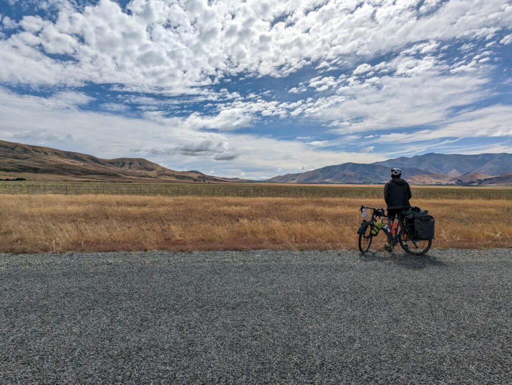
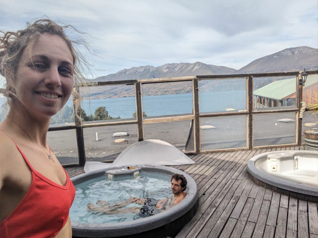
Ah celle ci on s’y attendait pas ! On pensait faire une petite journée pas difficile mais les derniers 20 km était plutôt fait pour des VTT !! On monte bien d’abord puis la descente se finit avec une petite chute en glissant (pour moi bien sûr 😅 ) Rien de bien grave mais bien content d’avoir rejoint le bitume Par contre la vue était juste splendide tout du long ! A couper le souffle, je pense #1 des vues pour le moment ! Arrivée au camping avec un petit bain bien chaud et on se fait plaisir avec un vrai dîner Et on profite des derniers rayons de soleil sur la montagne avec même une vue sur le mont Cook
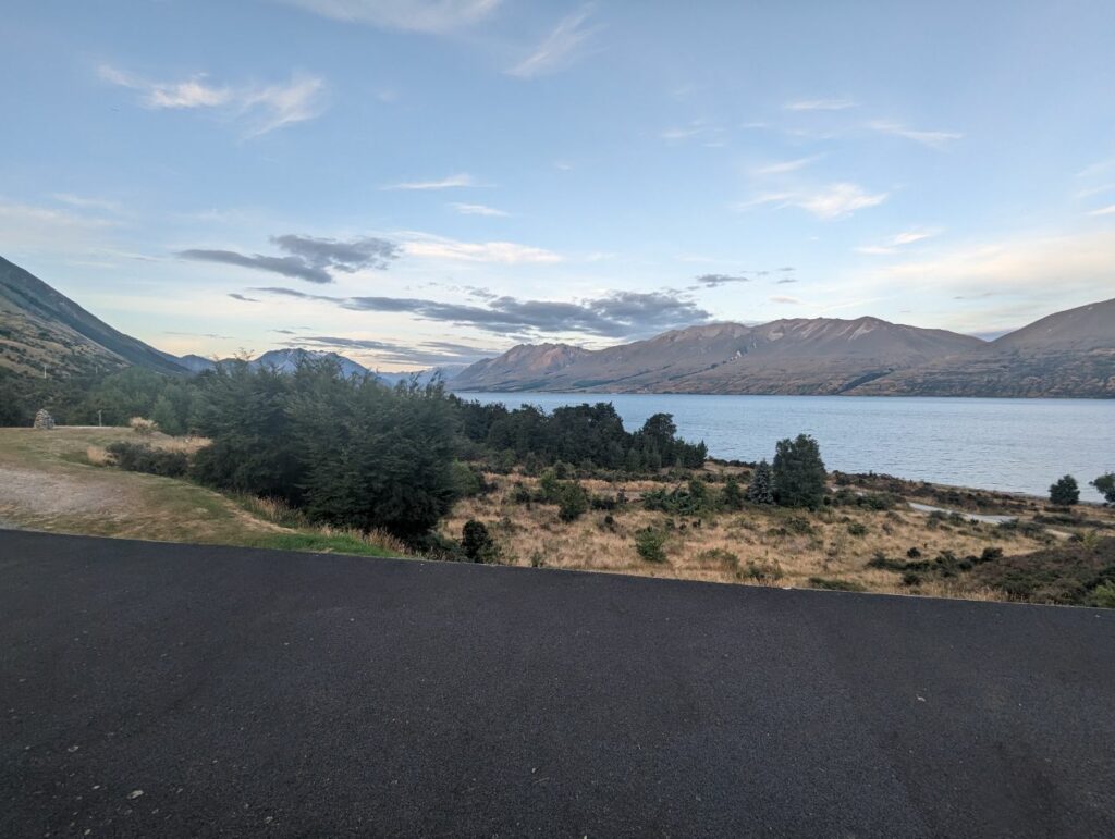
LAKE OHAU
25 JANUARY 2023
Lake Ōhau[2] is a lake in the Mackenzie Basin in the South Island of New Zealand. The Hopkins and Dobson rivers fed into the northern end of Lake Ōhau. These rivers have their headwaters in the Southern Alps / Kā Tiritiri o te Moana. The lake’s outflow is the Ōhau River, which travels from the southeast corner of Lake Ōhau and feeds into the Waitaki River hydroelectric project. The Barrier range (and Mount Sutton 2007m in particular) dominate the western side of Lake Ōhau, while the Ben Ohau range dominates the eastern side of Lake Ōhau. At the northern end of the lake, in between the Hopkins and Dobson rivers, lies the Naumann Range of mountains (with Mt Glenmary 2590m being the tallest).
The New Zealand Ministry for Culture and Heritage gives a translation of « place of Hau » for Ōhau, but an alternative meaning could be « windy place ».[3]
Ōhau is the smallest of three roughly parallel lakes running north–south along the northern edge of the Mackenzie Basin (the others are Lake Pukaki and Lake Tekapo). It covers 60 km².
Lake Ohau Alpine Village is located on the western shore of the Lake.
The lake forms part of the traditional boundary between the Otago and Canterbury regions, Otago’s northernmost point being the headwaters of the Hopkins River. Officially the lake lies in the northwestern part of the Waitaki District within the southern part of the Canterbury region.[4]

