
LAKE TEKAPO 1
30 JANUARY 2023
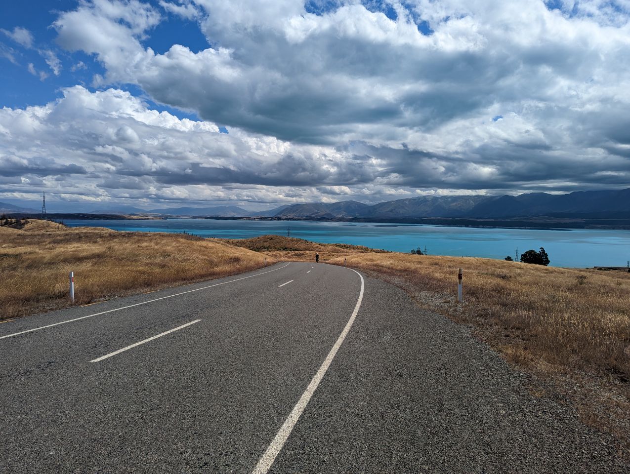
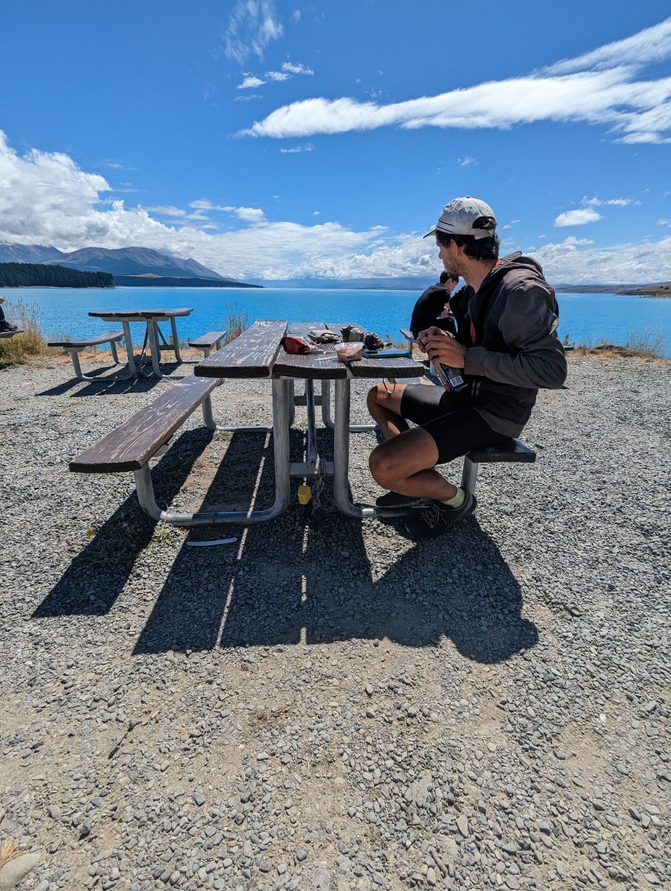
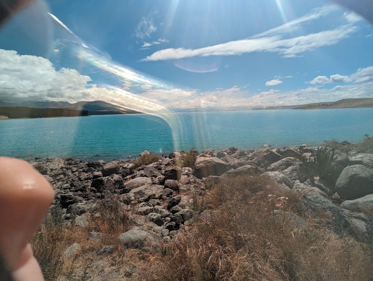
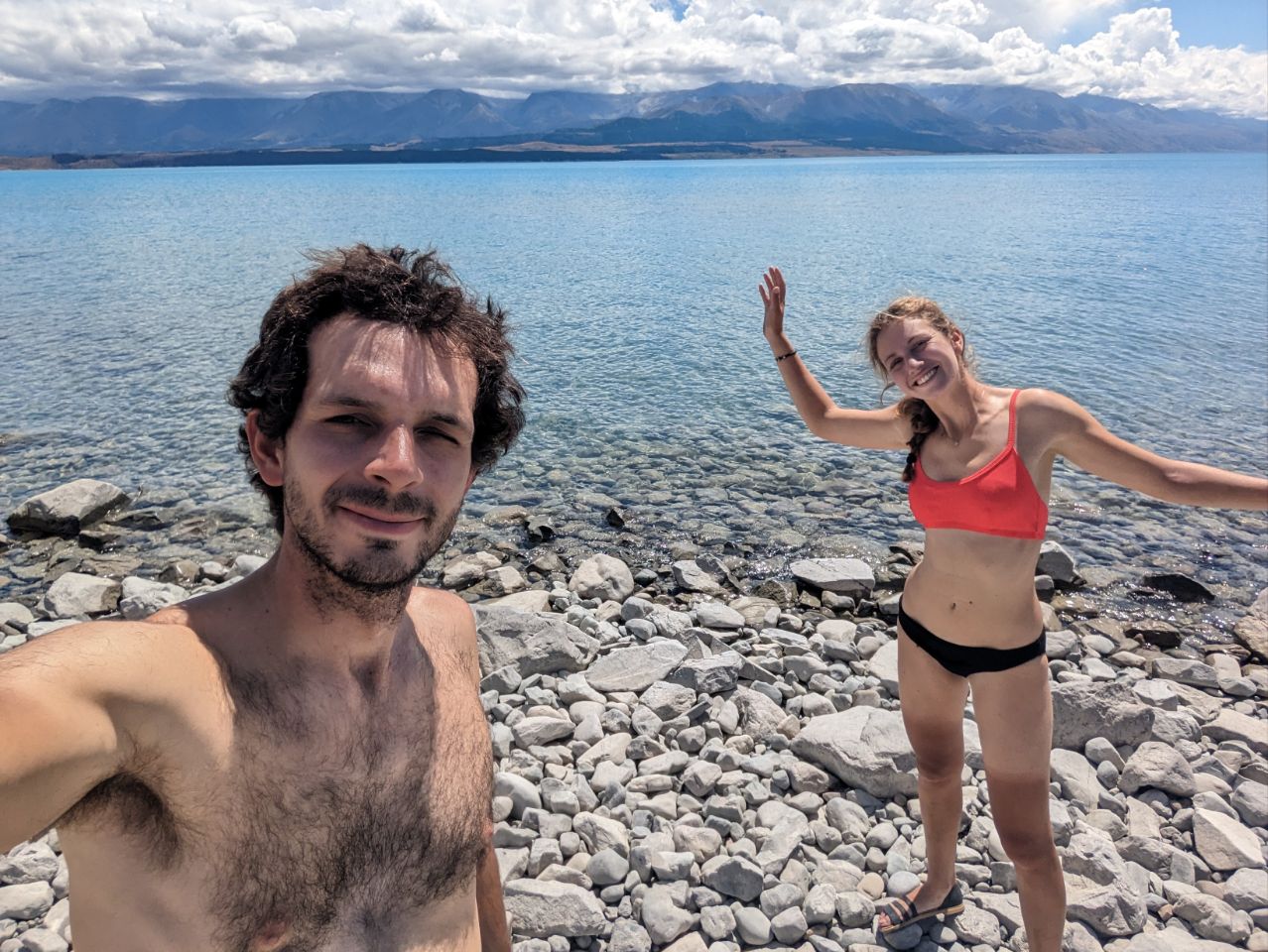
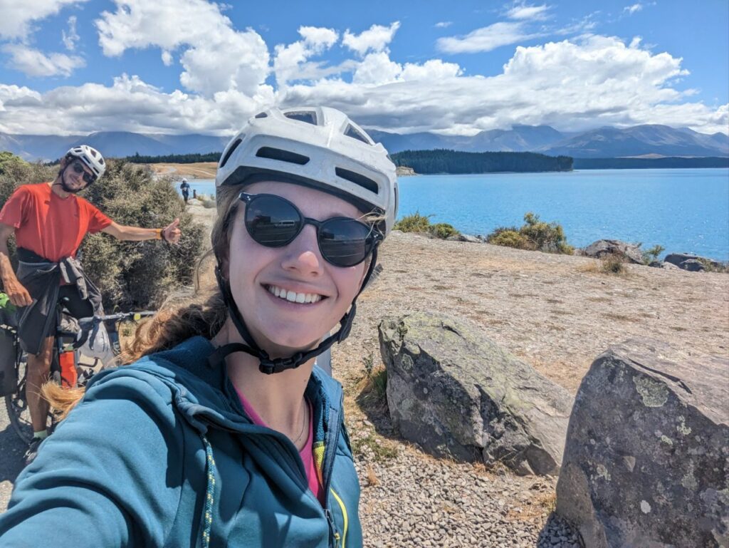
Lake Tekapo (Māori: Takapō) is the second-largest of three roughly parallel lakes running north–south along the northern edge of the Mackenzie Basin in the South Island of New Zealand (the others are Lake Pukaki and Lake Ohau). It covers an area of 83 square kilometres (32 sq mi), and is at an altitude of 710 metres (2,330 ft) above sea level.

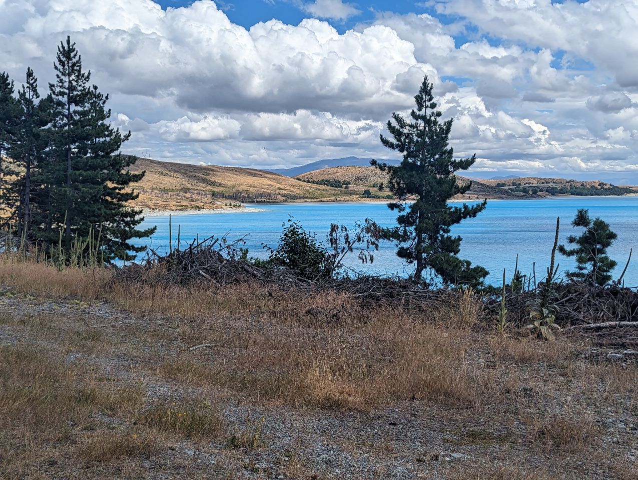
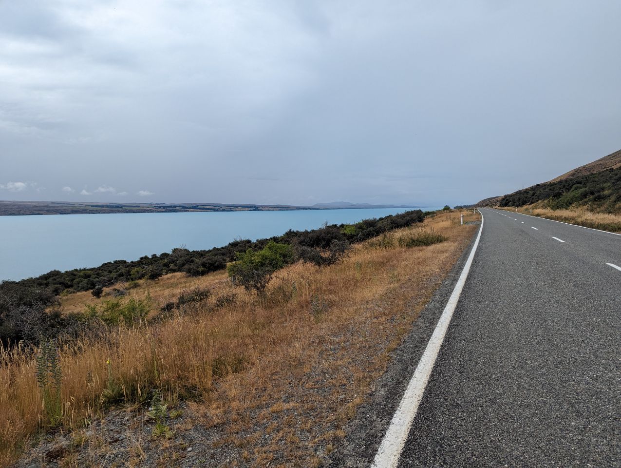
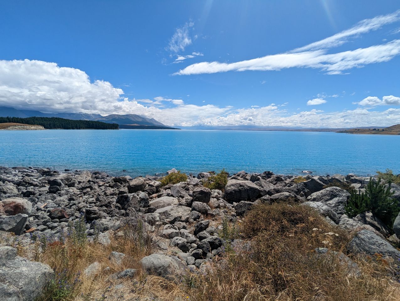
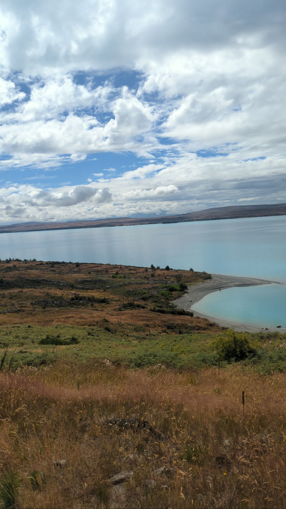
The lake is fed at its northern end by both the braided Godley River and Macauley river, which have their sources in the Southern Alps to the north. The snow melt from the Southern Alps is tinged with a light turquoise colour from the glacial silt.[2] This gives Lake Tekapo its distinctive colour. To the east of Lake Tekapo lies the Two Thumb Range with Mount Toby (2222m); Braun Elwert Peak (2086m); Dobson Peak (2095m) and Mount Maude (1797m) amongst the mountains over looking Lake Tekapo. On the western side of Lake Tekapo. Mount John (1031m) is closest to the town with Lake Alexandrina further north and Mistake Peak (1931m) sitting towards the head of the lake. Cowans Hill (783m) lies at the southern end of Lake Tekapo behind the township and next to the Tekapo river.
The average water temperature of the surface of the lake varies between a low of between 5.8 and 5.9 degrees Celsius in September and a high of 17 degrees Celsius in January.[3][4]
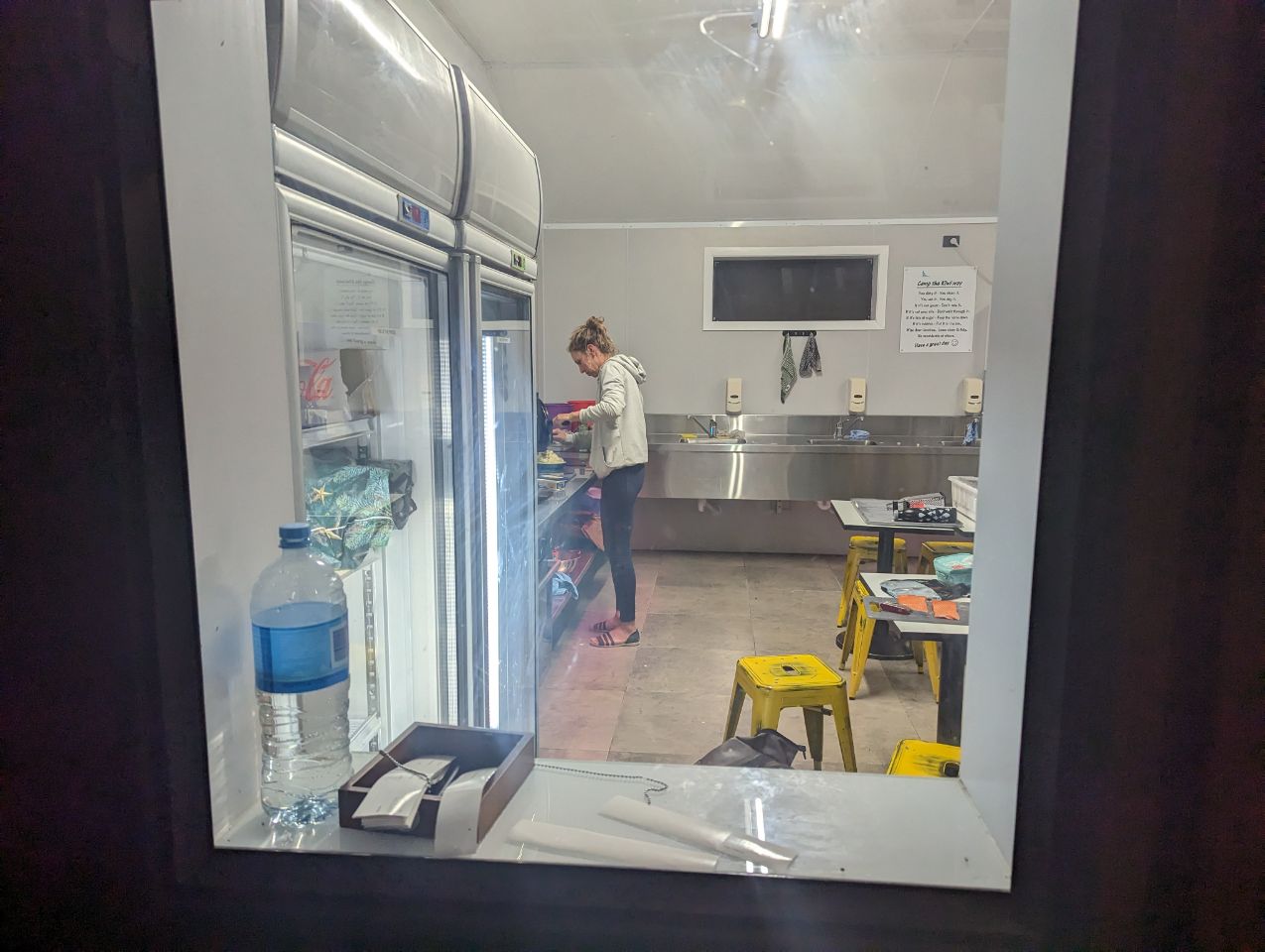
The lake is a popular tourist destination, and several resort hotels are located at the township of Lake Tekapo at the lake’s southern end. The Lake Tekapo Regional Park, administered by Environment Canterbury, is located on the southern shore of the lake. State Highway 8 runs past Lake Tekapo at its southern end.
On a clear day, the taller snow-capped peaks of Mount Cook National Park are visible from Lake Tekapo.
An astronomical observatory is located at Mount John, which is to the north of the town, and south of the small Lake Alexandrina.
Lake Tekapo is one of the sunniest places in New Zealand with annual sunshine hours averaging more than 2,400 each year.[5]
In Māori culture[edit]
« Tekapo » is a misspelling of Takapō, the name of the lake in the Māori language. Takapō means « to leave in haste at night ».[6][7]
In 2021, the MacKenzie District Council announced that it will start using the dual names of Tekapo and Takapō when referring to Lake Tekapo.[8]
The legends of Ngāi Tahu speak of Lake Tekapo being one of the lakes dug by the Waitaha explorer Rākaihautū with his Polynesian digging stick which was called Tūwhakaroria. After arriving in the Uruao waka at Nelson, Rākaihautū divided his people into two groups. Rākaihautū led his group down the middle of the island, digging the South Island freshwater lakes. His son, Rakihouia, led the other group down the east coast of the South Island.[6]
Ngāi Tahu visited Lake Tekapo and the nearby Lake Alexandrina as part of their seasonal food gathering patterns. The lakes were well known for eels and weka. These were gathered and preserved for the upcoming winter months.[9]
Motuariki island[edit]

Motuariki is the small island in the middle of Lake Tekapo. The legends of Ngāi Tahu tell of Motuariki, who was an ancestor on the Ārai-te-uru waka that capsized near Shag Point on the Otago coastline. After the waka capsized, many of the passengers went ashore to explore the land. Legend states that they needed to be back at the waka before daylight. Many did not make it, including Motuariki, and he was instead transformed into the island of Motuariki.[9]
Dark Sky Reserve[edit]
Lake Tekapo and the surrounding district were recognized as an International Dark Sky Reserve in 2012. The reserve is 4367 square kilometres in size making it amongst the world’s largest. The Dark Sky Reserve accreditation recognizes that the night skies are almost completely free of light pollution and ideal for star gazing.[10][11][12]
Lupins[edit]
Lake Tekapo is also known for its stunning seasonal display of Lupin that bloom along its shores from around Mid November until the end of December.[13] Russell lupins were introduced in the Mackenzie Basin in the 1940s from sowings or lupins planted in garden which had seeds that spread widely. In 1949 Connie Scott, of Godley Peaks Station, scattered lupin seeds along the roadside after purchasing about £100 worth from the local stock and station agent.[14] Although beautiful, they modify the ecosystems of braided rivers.[15] There were fewer lupins around Lake Tekapo in December 2020, due to the water level in the lake being too high at a vital time in their growth cycle, causing them to fail to flower.[16]
Drivers have been warned to take care during the lupin season, as many visitors to the area slow down or pull over to admire the lupins along State Highway 8, but this may be unsafe and create the potential for accidents.[17][18]