

MOTUEKA
26th Novemeber 2022
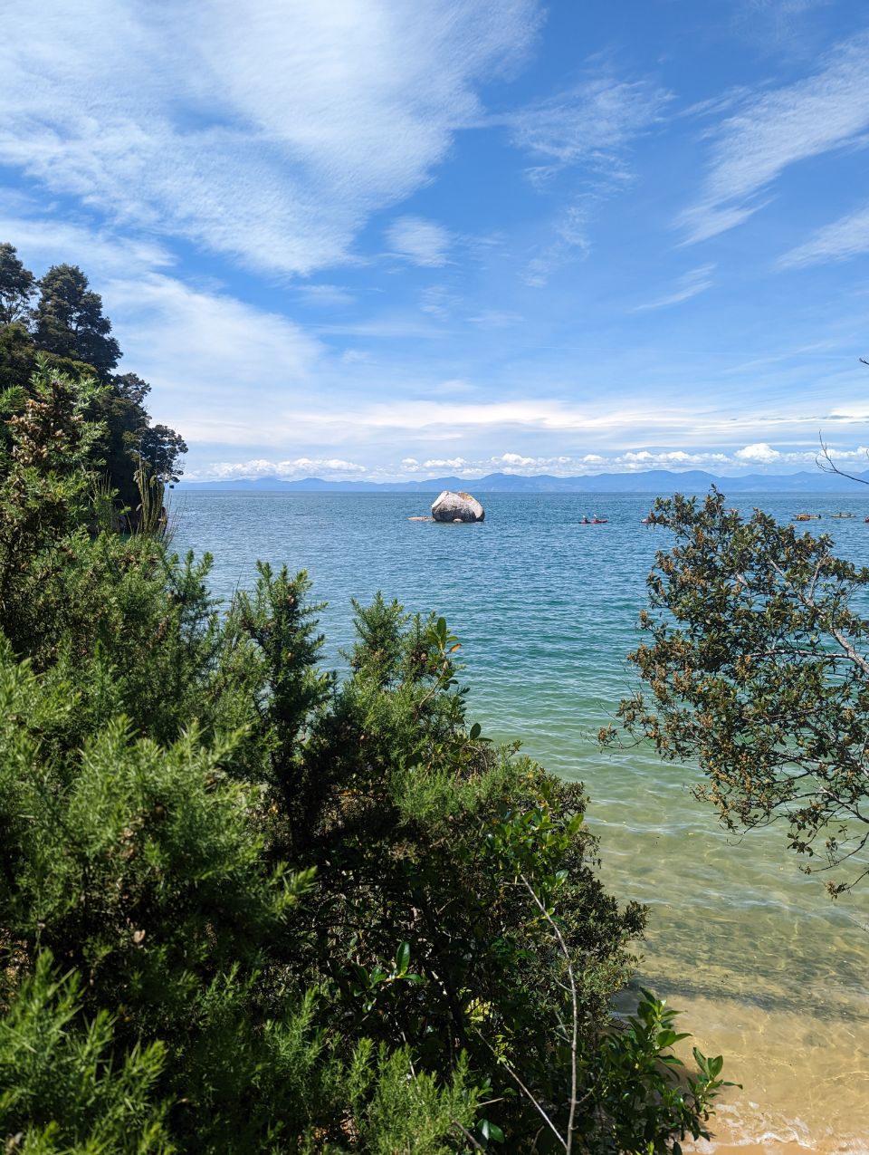
Motueka is a town in the South Island of New Zealand, close to the mouth of the Motueka River on the western shore of Tasman Bay / Te Tai-o-Aorere. It is the second largest in the Tasman Region, with a population of 8,340 as of June 2022.[3]
The surrounding district has a number of apple, pear and kiwifruit orchards, as well as growing a variety of specialised crops such as hops. The area formerly served as the main centre of tobacco growing in New Zealand. A number of small vineyards have also been developed.
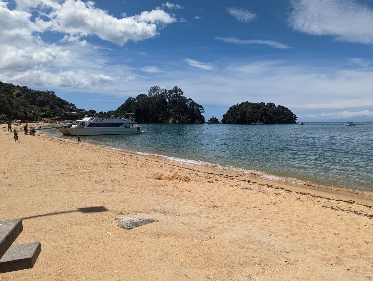
Nearby beaches (such as Kaiteriteri and Mārahau) are very popular with holidaymakers, and the area around Motueka has one of the country’s highest annual sunshine-hour indices.[4]
Motueka, as one of the nearest towns to the Abel Tasman and Kahurangi National Parks, has become the base of many tourism ventures, as well as in Nelson Lakes National Park, and in other recreational areas. Extensive limestone cave systems (including Harwoods Hole in the Tākaka Hill area north of Motueka) attract cavers and rock climbers. Sea kayaking, tramping and canyoning now attract many thousands of visitors each year.
Many artists live in the area around Motueka, especially potters and reggae musicians. The Riverside Community, in nearby Lower Moutere, is a pacifist intentional community. Founded in the 1940s, it is New Zealand’s oldest cooperative living community.[5]
Name

The name Motueka, or more correctly Motuweka, comes from the Māori language, and means weka island, the weka being a bird of the rail family. The town is colloquially called « Mot » by some residents.
History

The first known European visitor to the coast near Motueka in 1827 was French explorer Jules Dumont d’Urville, of the French corvette Astrolabe. He explored and described much of the Tasman Bay / Te Tai-o-Aorere shore line. Three ships carrying the New Zealand Company‘s Nelson expedition, led by Captain Arthur Wakefield, anchored at Astrolabe Roads, north of Kaiteriteri Beach—about 16 kilometres (10 mi) due north of Motueka—in October 1841. Kaiteriteri was selected as a site for the first settlement but was later abandoned in favour of Nelson Haven. The exceptional fertility of the soil and the suitability of the surrounding land for small farm settlement were the main reasons for the establishment of the second town of the Nelson settlement at Motueka in 1842. Motueka was created as a borough in 1900. During the period, 1853 to 1876, Motueka was administrated as part of the Nelson Province.