
OAMARU 1
21 JANUARY 2023


Oamaru (/ˌɒməˈruː/ (![]() listen); Māori: Te Oha-a-Maru) is the largest town in North Otago, in the South Island of New Zealand, it is the main town in the Waitaki District. It is 80 kilometres (50 mi) south of Timaru and 120 kilometres (75 mi) north of Dunedin on the Pacific coast; State Highway 1 and the railway Main South Line connect it to both cities. With a population of 13,900,[3] Oamaru is the 28th largest urban area in New Zealand, and the third largest in Otago behind Dunedin and Queenstown. The town is the seat of Waitaki District, which includes the surrounding towns of Kurow, Weston, Palmerston, and Hampden. which combined have a total population of 23,200.[4]
listen); Māori: Te Oha-a-Maru) is the largest town in North Otago, in the South Island of New Zealand, it is the main town in the Waitaki District. It is 80 kilometres (50 mi) south of Timaru and 120 kilometres (75 mi) north of Dunedin on the Pacific coast; State Highway 1 and the railway Main South Line connect it to both cities. With a population of 13,900,[3] Oamaru is the 28th largest urban area in New Zealand, and the third largest in Otago behind Dunedin and Queenstown. The town is the seat of Waitaki District, which includes the surrounding towns of Kurow, Weston, Palmerston, and Hampden. which combined have a total population of 23,200.[4]
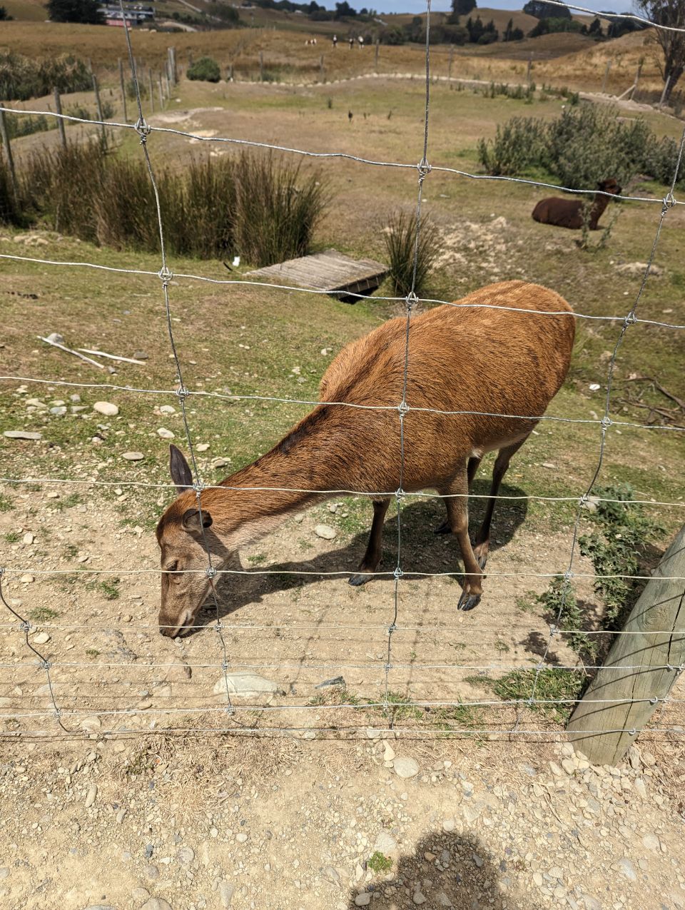
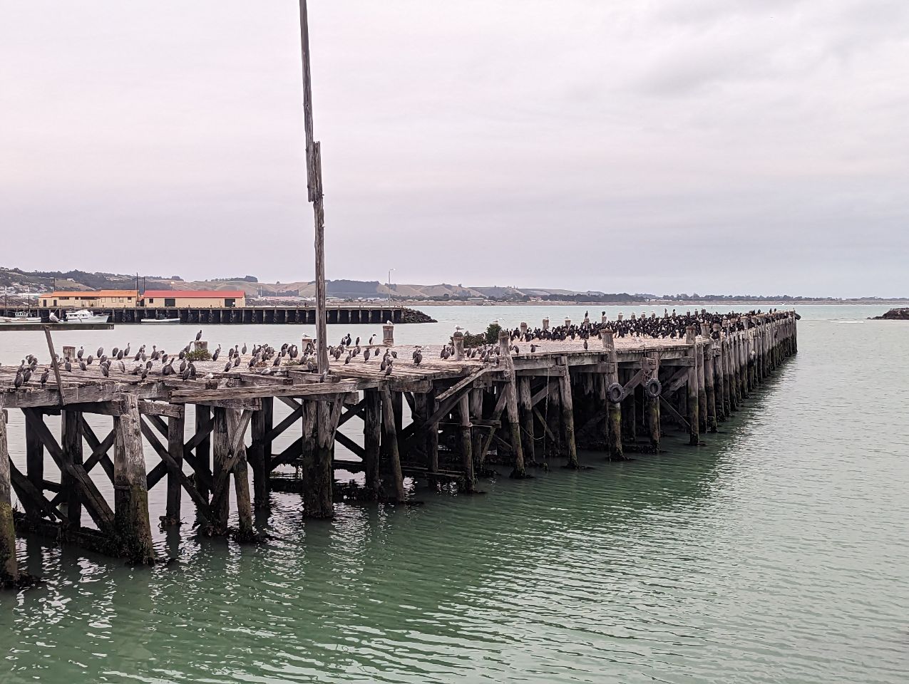
Friendly Bay is a popular recreational area located at the edge of Oamaru Harbour, south to Oamaru’s main centre. Just to the north of Oamaru is the substantial Alliance Abattoir at Pukeuri, at a major junction with State Highway 83, the main route into the Waitaki Valley. This provides a road link to Kurow, Omarama, Otematata and via the Lindis Pass to Queenstown and Wanaka. Oamaru serves as the eastern gateway to the Mackenzie Basin, via the Waitaki Valley.
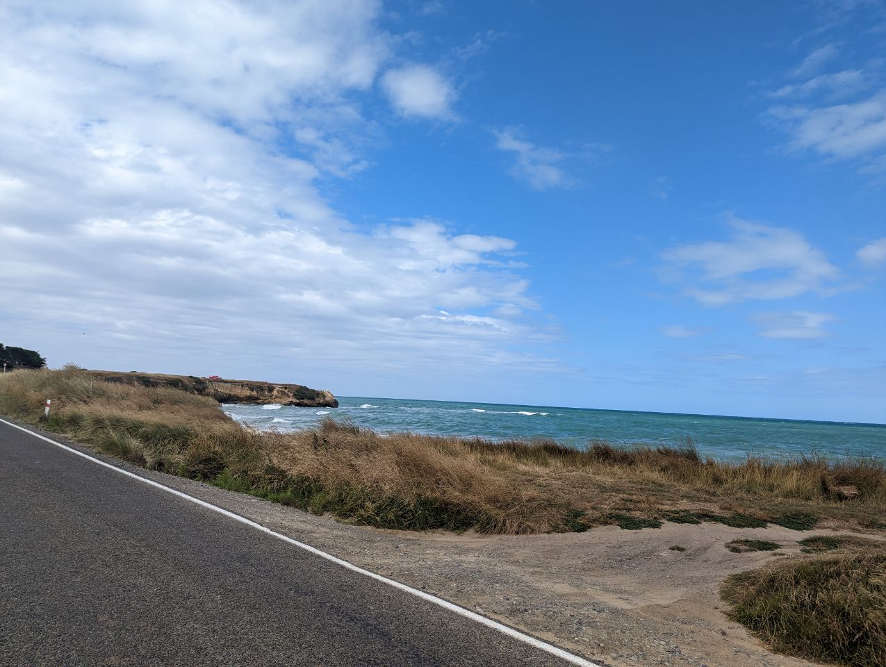
Oamaru has been built between the rolling hills of limestone and short stretch of flat land to the sea. This limestone rock is used for the construction of local « Oamaru stone”, sometimes called « Whitestone » buildings.
Oamaru enjoys a protected location in the shelter of Cape Wanbrow. The town was laid out in 1858 by Otago’s provincial surveyor John Turnbull Thomson, who named the early streets after British rivers, particularly rivers in the northwest and southeast of the country.
The name Oamaru derives from the Māori and can be translated as « the place of Maru » (cf. Timaru).[5] The identity of Maru remains open to conjecture.
History[edit]
Māori settlement[edit]
There are some important archaeological sites around Oamaru. Those at the Waitaki River mouth and at Awamoa both date from the Archaic (Moa-hunter) phase of Māori culture, when New Zealand’s human population clustered along the south-east coast from about AD 1100. The Waitaki River mouth had at least 1,200 ovens. Awamoa saw the first archaeological excavation in New Zealand when W.B.D. Mantell dug there at Christmas 1847 and in 1852. Smaller Archaic sites exist at Cape Wanbrow and at Beach Road in central Oamaru. The distinctive Archaic art of the Waitaki Valley rock shelters dates from this period — some of it presumably made by the occupants of these sites. The area also features Classic and Protohistoric sites, from after about AD 1500, at Tamahaerewhenua, Tekorotuaheka, Te Punamaru, Papakaio, and Kakanui.[6]
Māori tradition tells of the ancient people Kahui Tipua building a canoe, Arai Te Uru, which sailed from southern New Zealand to the ancestral Polynesian homeland, Hawaiki, to obtain kumara. On its return it became waterlogged off the Waitaki River mouth, lost food baskets at Moeraki beach and ended up wrecked at Matakaea (Shag Point) where it turned into Danger Reef. After the wreck a crew member, Pahihiwitahi, seeking water, discovered the Waitaki River, but on returning south and failing to reach the wreck before dawn he was turned into a hill in the Shag Valley. Modern academics have suggested this tale is an allegorical explanation of the fact that kumara will not grow south of Banks Peninsula.