
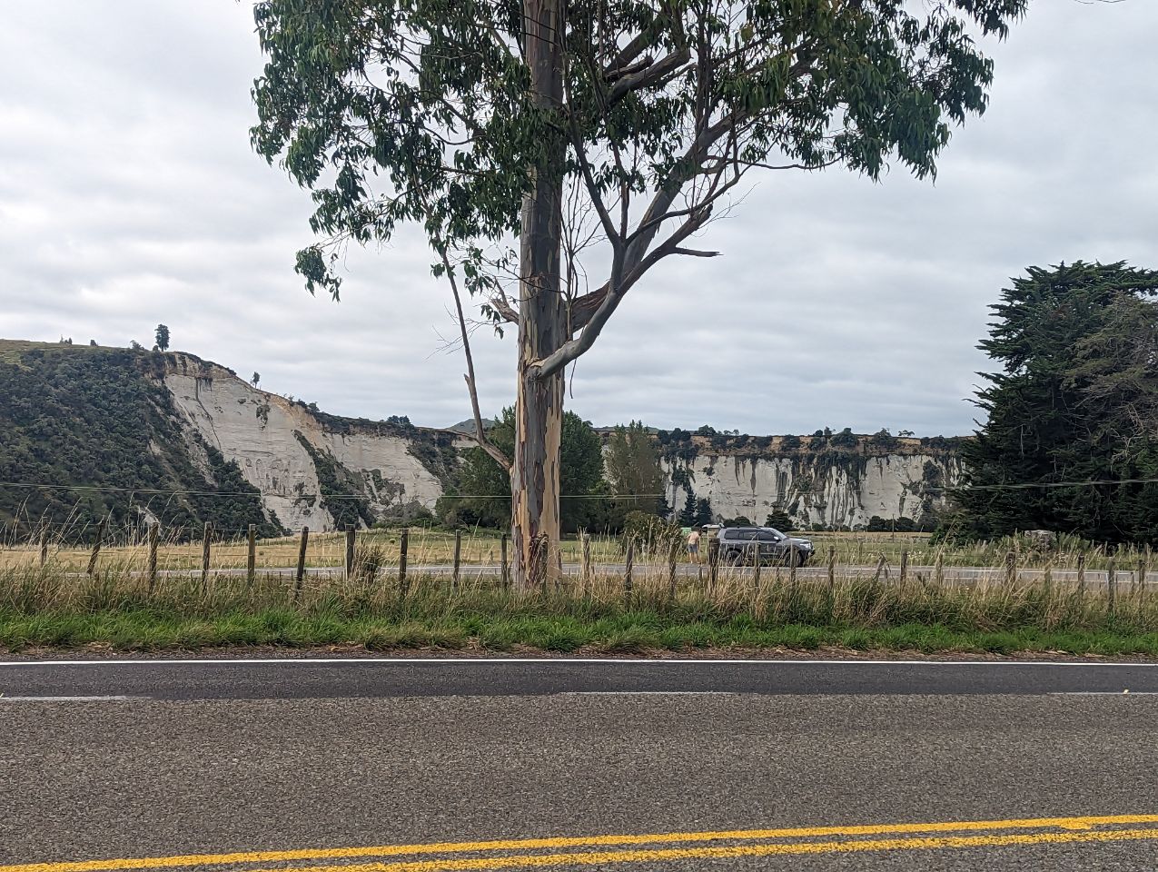
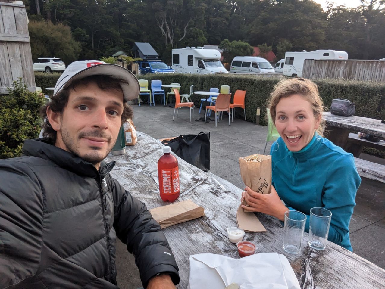
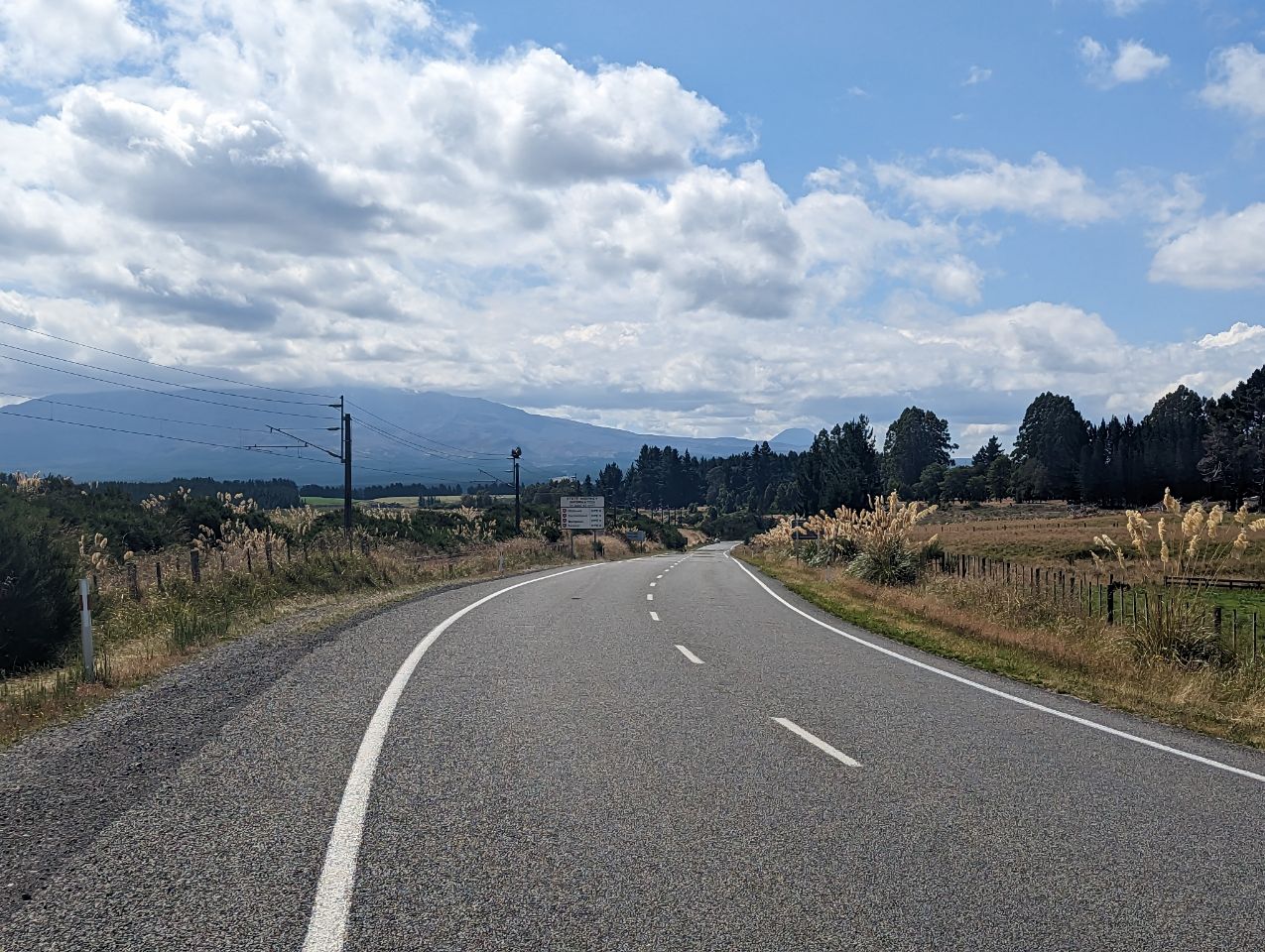
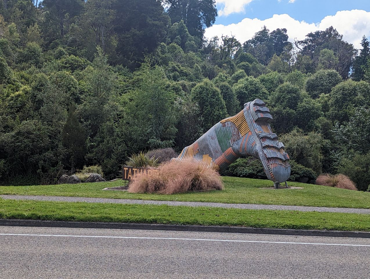
Grosse journée aujourd’hui pour atteindre Okahune! Pas mal de dénivelé et 85 km en tout! On commence assez tôt (9h15). Sur la route on pose vite pied à terre pour laisser passer une MAISON ! Plus facile les déménagements ici On passe par la ville de la botte, Taihape vers 11h , où est organisé annuellement le concours du lancer de bottes Vers 14 h on se pose enfin pour manger! Arrivée finale vers 17h30, et aujourd’hui on bat même notre record de montage de tente (12 min 12 sec) On se félicite autour d’un super kebab !
OHAKUNE
20 FEBRUARY 2023
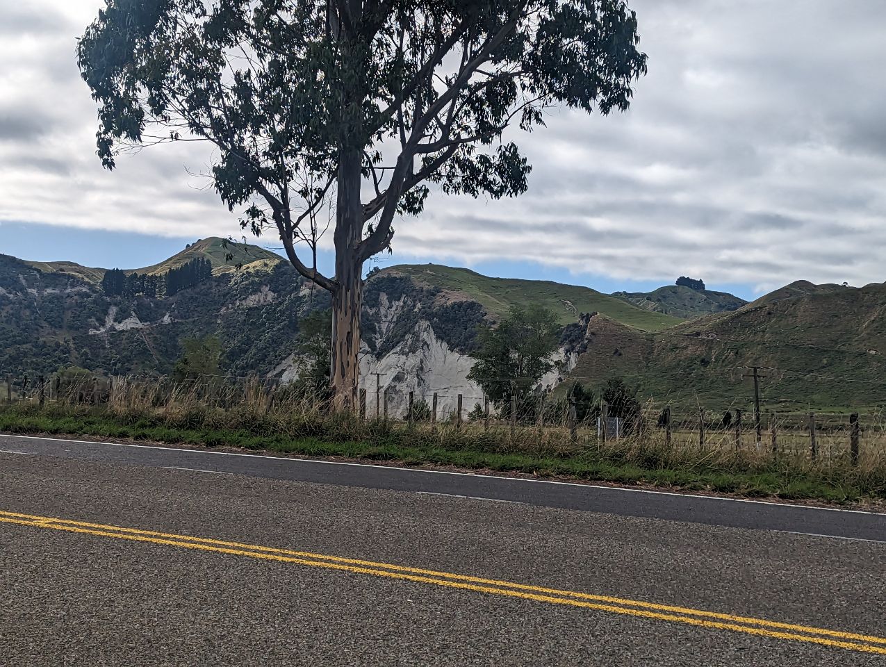
Ohakune is a small town at the southern end of Tongariro National Park, close to the southwestern slopes of the active volcano Mount Ruapehu, in the North Island of New Zealand.
A rural service town known as New Zealand’s Carrot Capital,[3] Ohakune is a popular base in winter for skiers using the ski fields (particularly Turoa) of Mount Ruapehu and in summer for trampers hiking the Tongariro Alpine Crossing.
Toponymy
The Ngāti Rangi iwi say the Māori language name Ohakune comes from the phrase « he Ohakune ki te ao« , which broadly means « an opening to a new world » and refers to the descent from Mount Ruapehu into the valley and swamps of the area. In 2019 the New Zealand Geographic Board changed the official name to Ōhakune, indicating that the first letter was a long vowel, but swiftly reverted to Ohakune without a macron when Ngāti Rangi objected.[4][5][6]
History and culture
Pre-European history
The lands to the south and west of Mount Ruapehu were historically inhabited by the Māori of the Ngāti Rangi iwi.[7]
Around the middle of the seventeenth century a marae at Rangataua, a small town about five kilometres south-east of Ohakune, was attacked and the inhabitants were driven from their homes by raiders from the Ngāti Raukawa, an iwi from farther east in Manawatu. Around 75 of the village’s population were slain and the dozen or so survivors fled to Maungarongo and established a pā on the present site of the town of Ohakune.[citation needed]
European settlement
The Crown purchased 10,000 acres of Native land at Ohakune in 1879.[8]
In 1883, the first engineering reconnaissance commenced for the Marton—Te Awamutu section of the North Island Main Trunk Railway and a base was established upon the present site of Ohakune, and soon became a permanent camp for railway and road construction workers. Settlement of the town commenced in the early 1890s. Forty quarter-acre sections in the township were sold at auction in February 1983.[9] Prior to the completion of the railway to the town, all supplies had to be transported via cart from Hunterville, or from Whanganui via the Whanganui River steamer to Pipiriki and then by cart for the remaining distance.[10]
By March 1908 the railway line had reached Ohakune. The period of railway construction activities was followed quickly by intensive timber milling; as the forest was cleared, cattle and sheep were introduced and farming progressed. Ohakune was constituted a town district in August 1908 and in November 1911 attained borough status.[11]
Marae
Ohakune has two marae. Maungārongo Marae and Tikaraina Ringapoto or Ko Te Kingi o Te Maungārongo meeting house is a meeting place of the Ngāti Rangi hapū of Ngāti Tui-o-Nuku. Ngā Mōkai Marae and Whakarongo meeting house are a meeting place of the Ngāti Rangi hapū of Ngāti Tongaiti.[12][13]
In October 2020, the Government committed $836,930 from the Provincial Growth Fund to upgrade a cluster of 7 marae, including Maungārongo Marae, creating 95 jobs.[14]