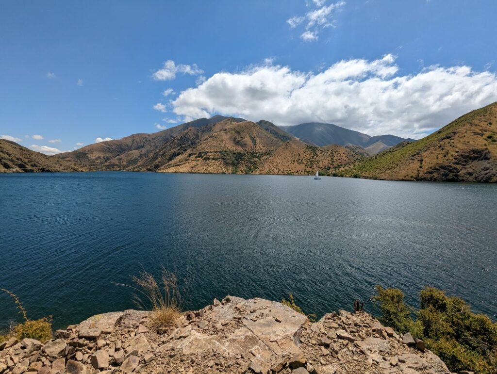
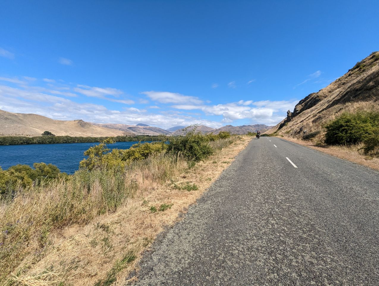
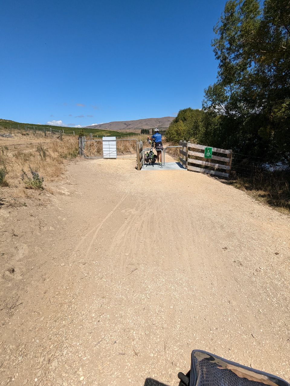
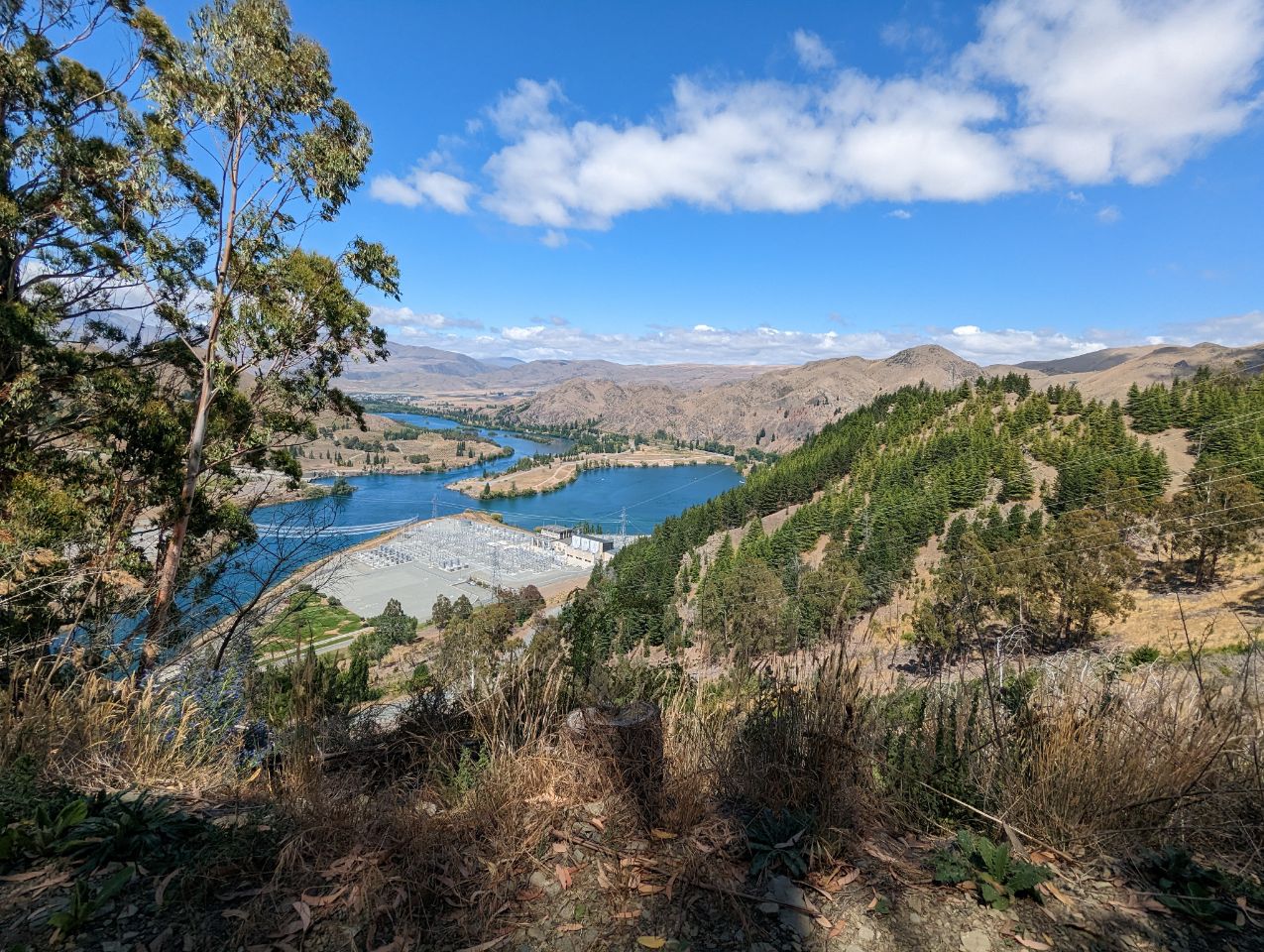
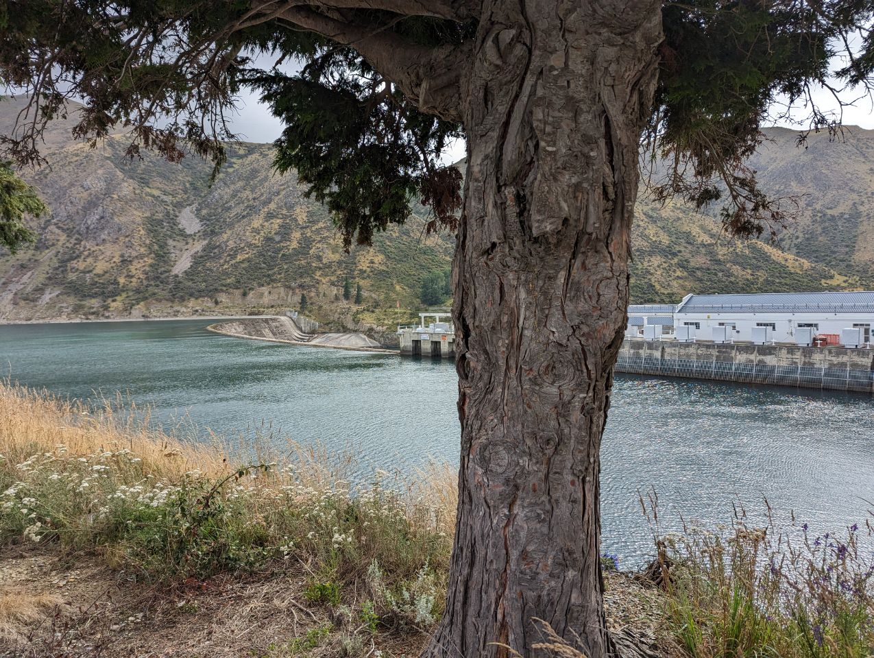
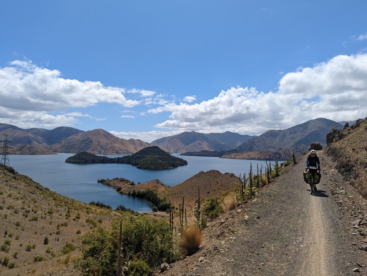
Journée qui s’annonce très difficile ( moi j’appréhende pas mal car on nous a prévenu à plusieurs coups que c’est un peu à flanc de falaise!) Mais on l’a fait ! Début vers 9h30 il faisait un peu froid , on prend la route avant de se décider de rejoindre le trail qui est très cool à rouler Après avoir passé deux barrages hydroliques la difficulté s’accroît ! Mais le paysage est juste splendide Et finalement ça allait, un peu de gros bloc de pierre de temps en temps qui mériterait un VTT mais ça va ! Le seul truc compliqué sont les barrières à passer où on doit lever nos vélos Du coup on fini sur la route les 10 derniers kms Et on se fait plaisir en arrivant : glace, bière puis dîner et série
OMARAMA
24 JANUARY 2023
Omarama is a small town (population 291 at 2018 census) at the junction of State Highways 8 and 83, near the southern end of the Mackenzie Basin, in the South Island of New Zealand. Omarama is in the Waitaki District, in the southern Canterbury region. The Ahuriri River is a short distance to the north of the township. Omarama is 30 km (20 minutes drive) southwest of Twizel, 40 km (30 minutes drive) southeast of Lake Ōhau and 32 km (21 minutes drive) northeast of the Lindis Pass.
Omarama is primarily a rural service centre, providing local farmers and other residents with necessities and facilities such as grocery shopping, fuel and mechanical services, as well as a post shop.
In more recent years these and similar services have expanded moderately, due to the increase in new residents and visitors, including anglers, artists, astronomers, sailplaneenthusiasts, skiers and general tourists.