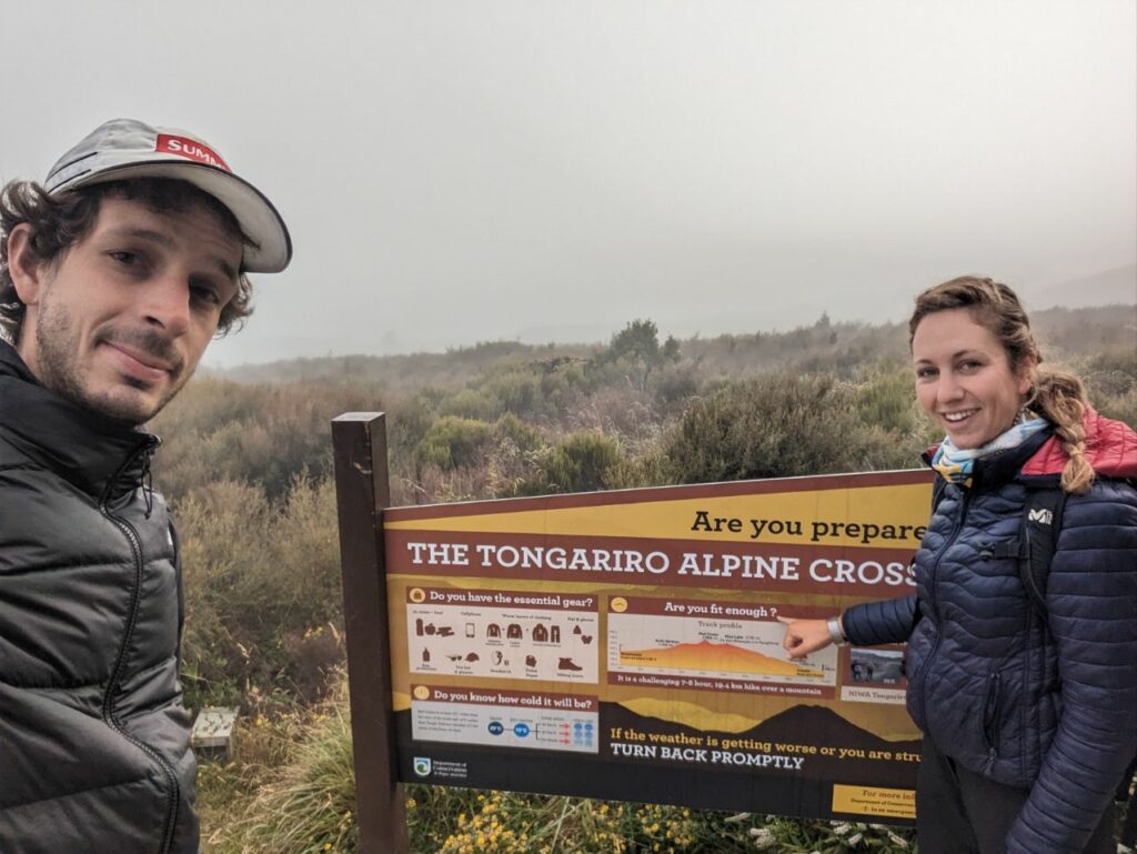
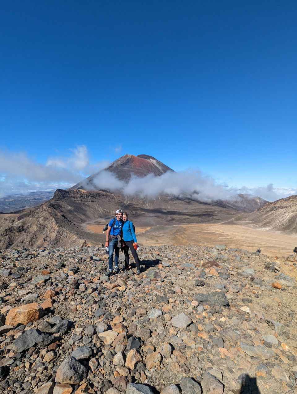
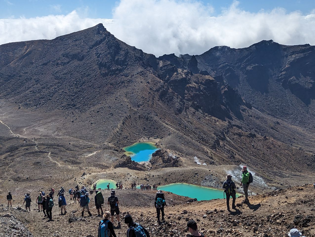
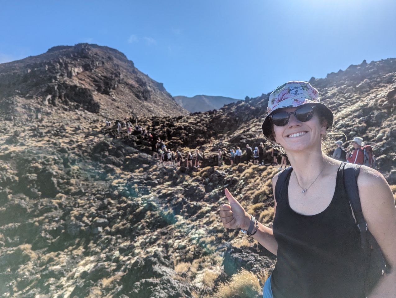
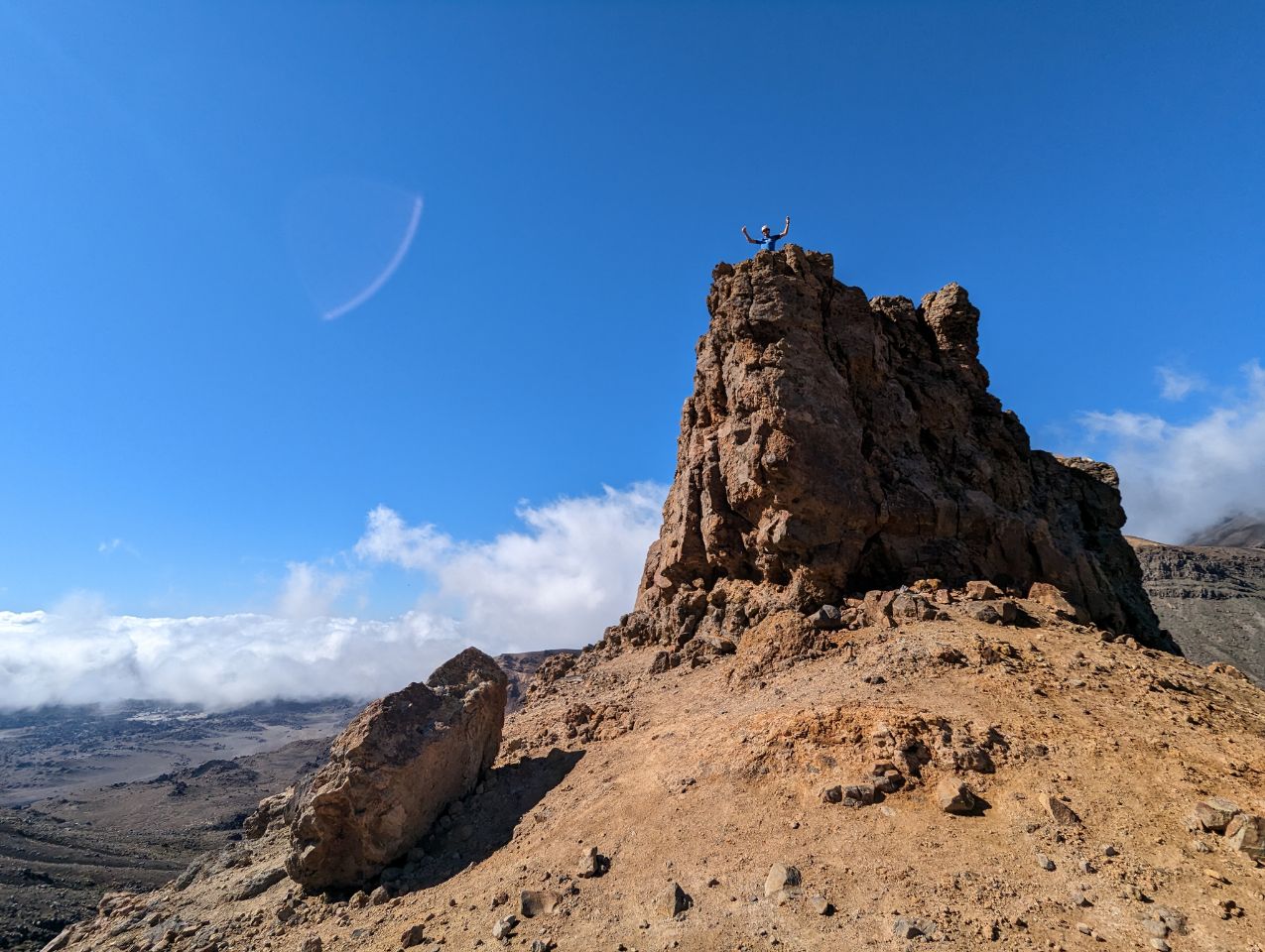
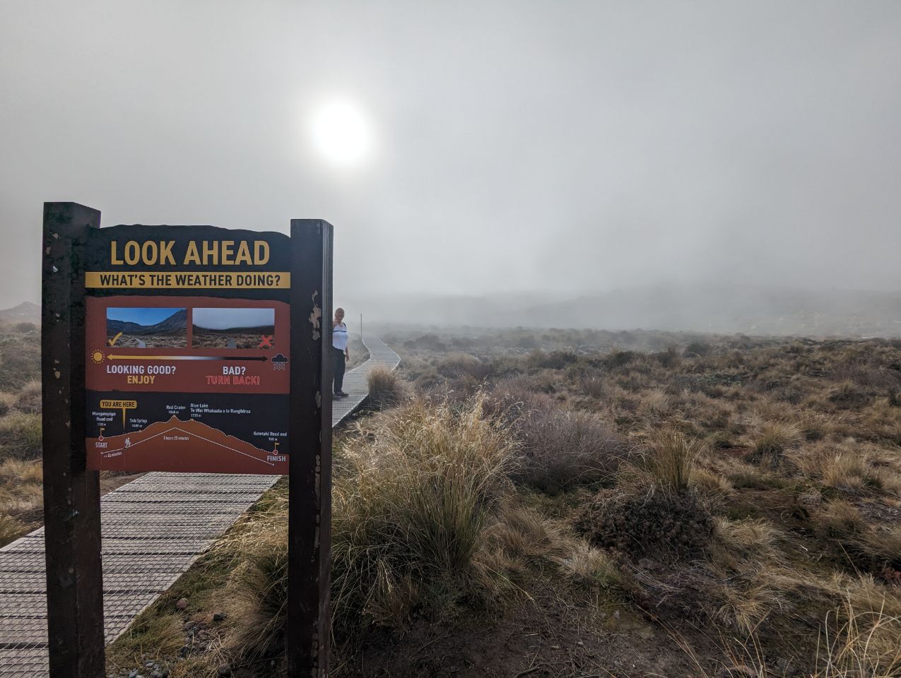
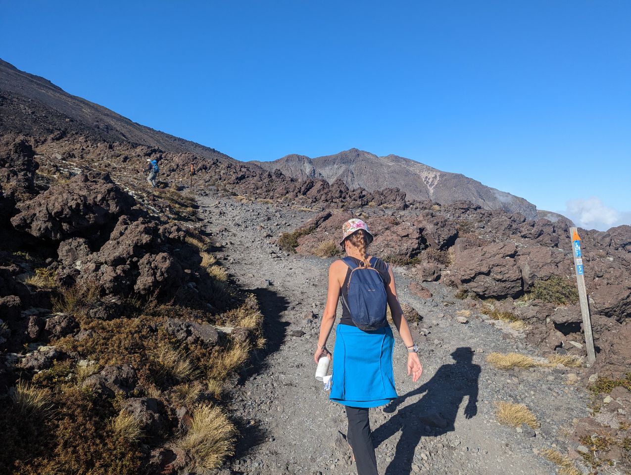
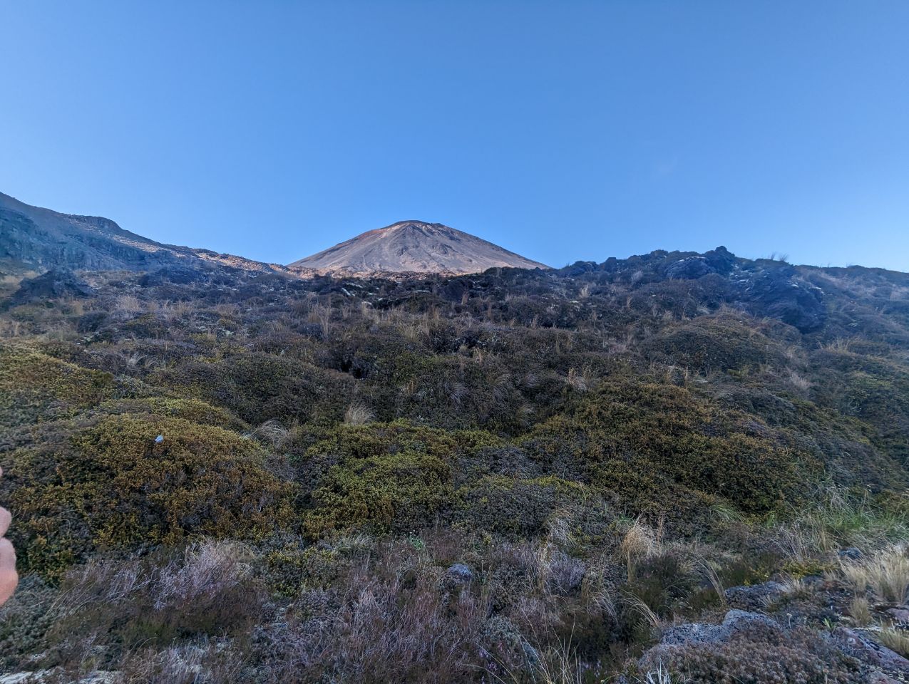
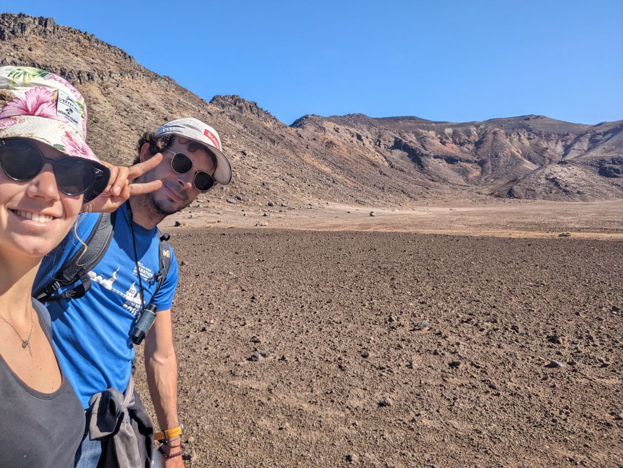
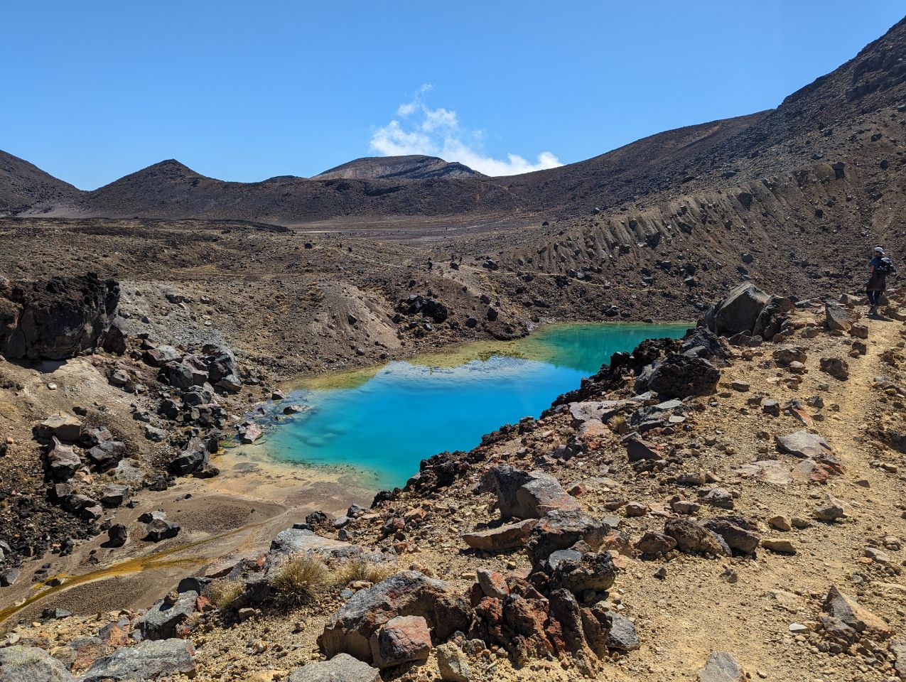
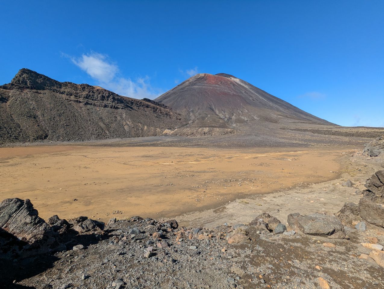
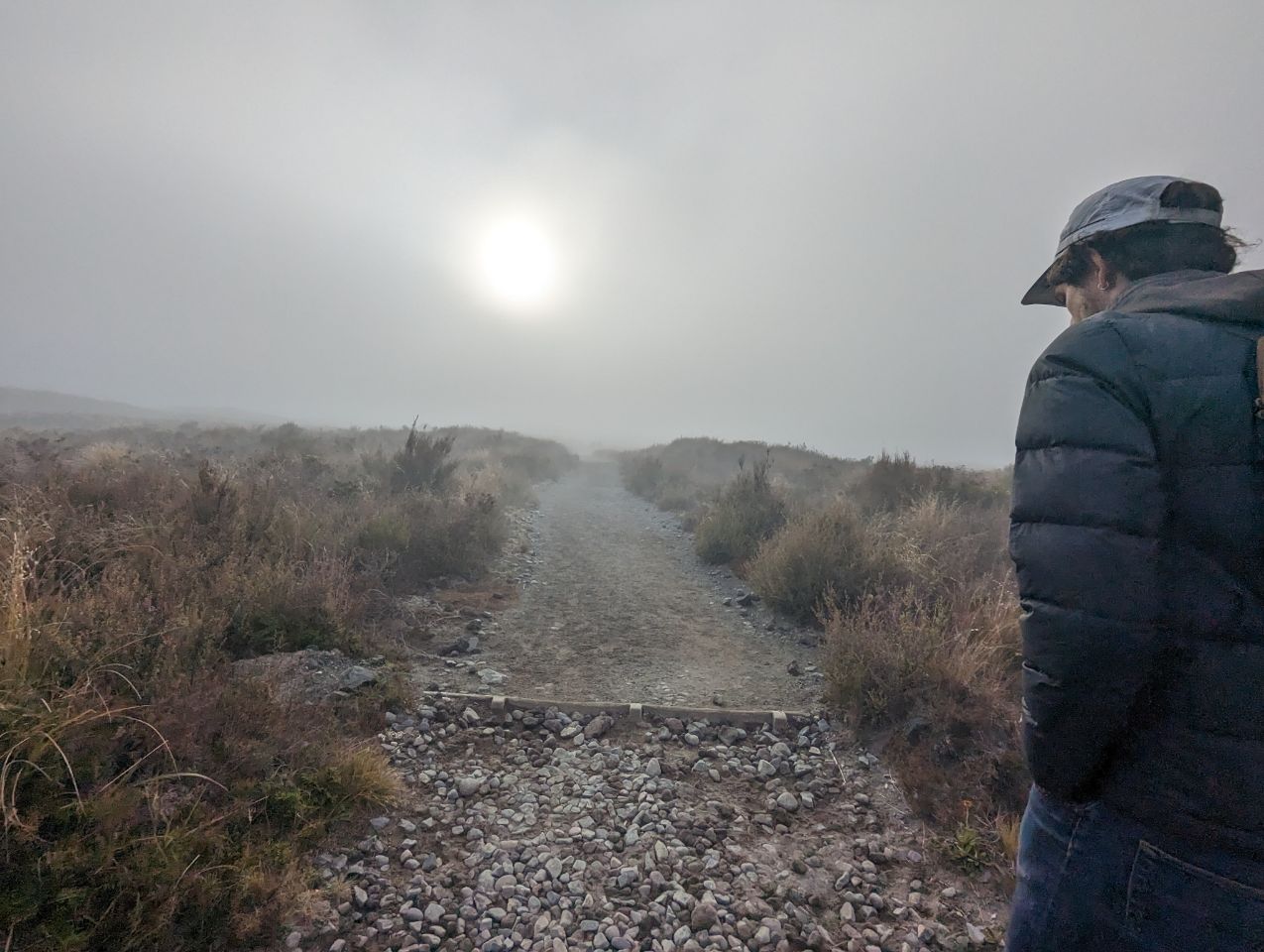
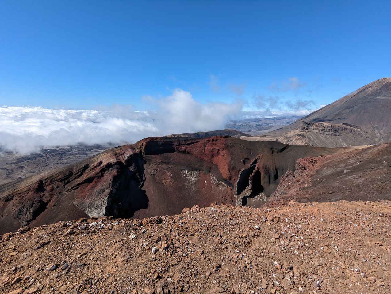
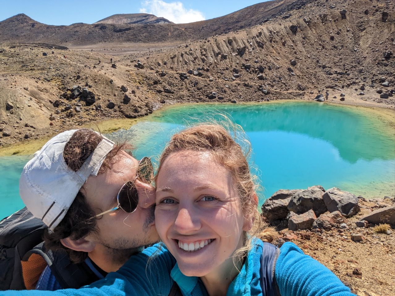
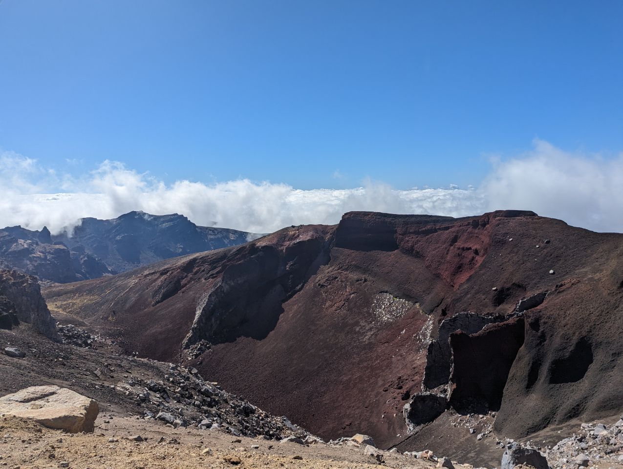
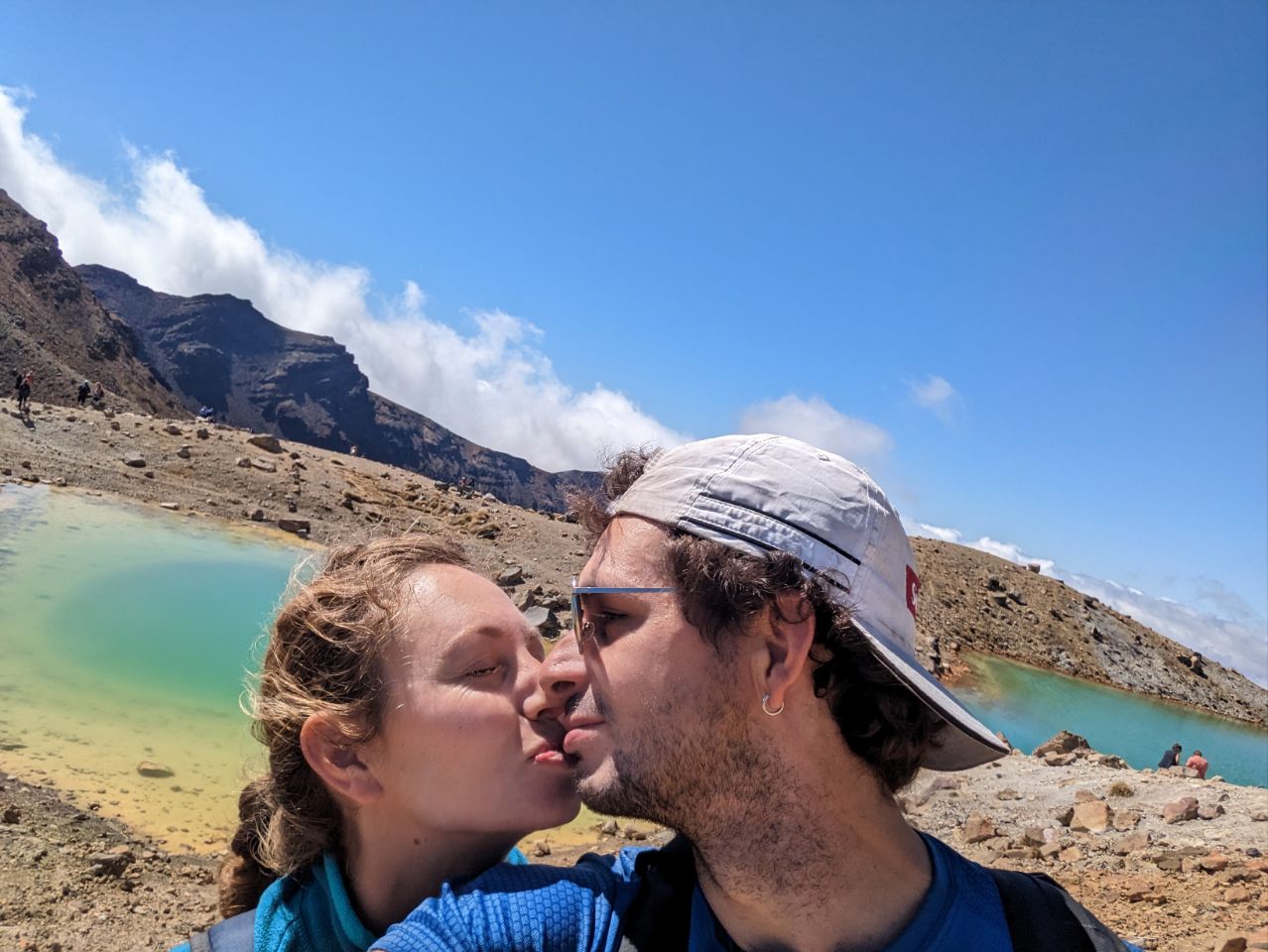
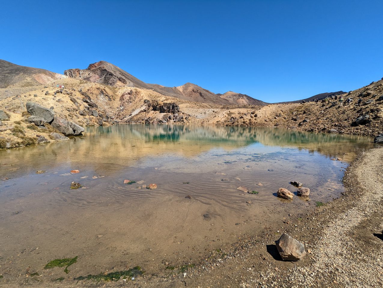
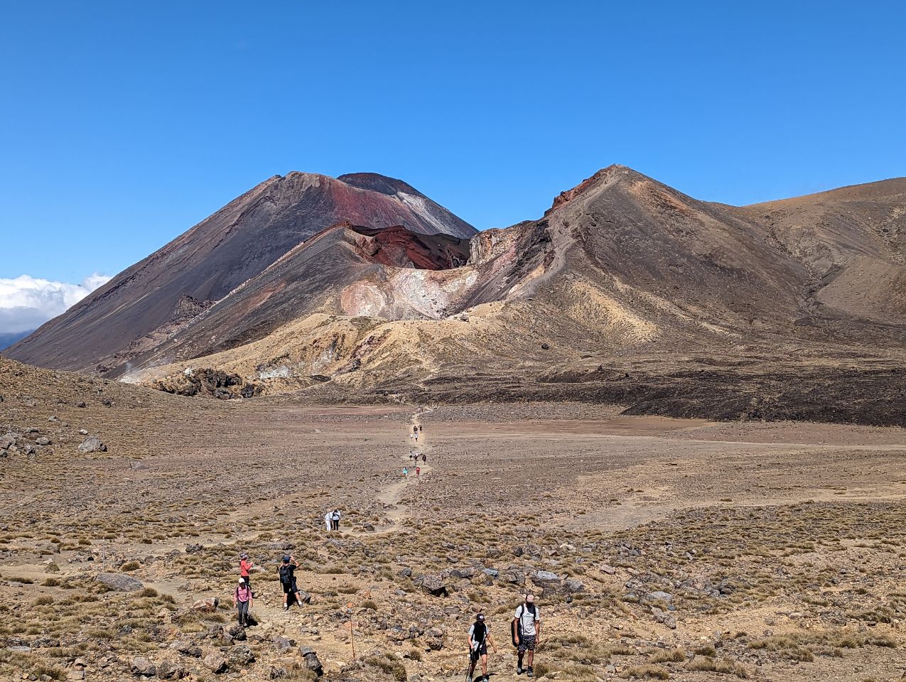
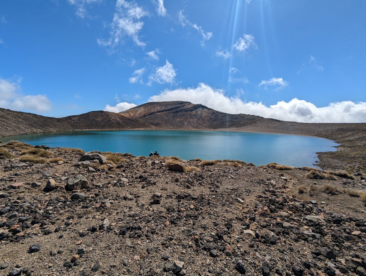
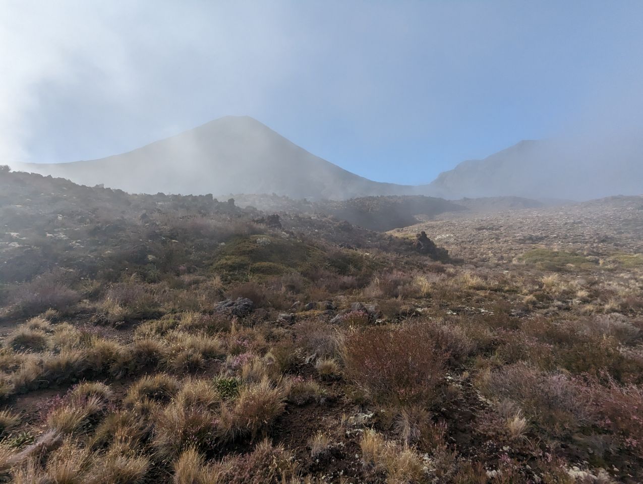
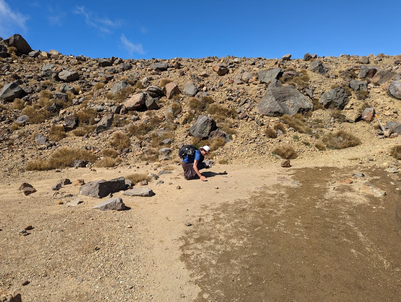
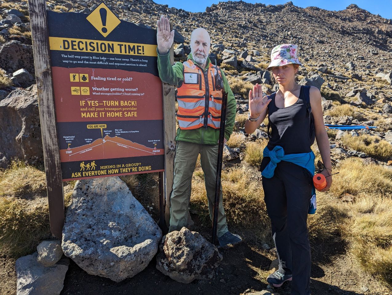
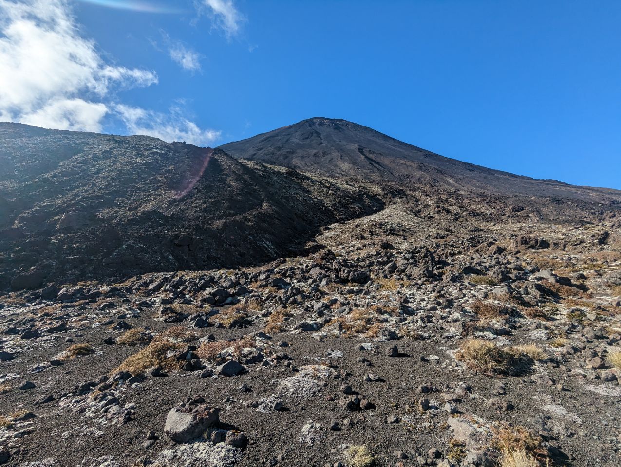
C’est parti pour la plus connue des randonnée : le Tongariro crossing! Que c’est beau de se retrouver seuls au monde au milieu de ces volcans ! La randonnée est assez longue mais pas très difficile. C’est splendide, la couleur des lacs et des cratères mais il ya énormement de monde. On arrive malgré tout à prendre quelques photos tout seul Retour dans l’après midi au camp (on aura mis 6h30 au total au lieu des 8 h prévues) Petit milkshake avant le traditionnel spa puis une pétanque pour savoir qui prépare les dîners des prochains jours ( j’ai perdu donc c’est moi ! )
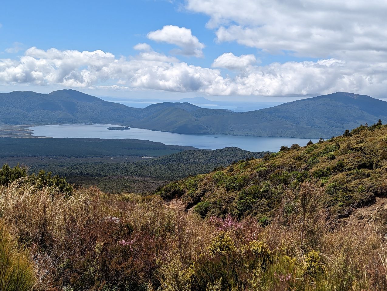
The tourist towns of Raetihi, Whakapapa Village, National Park and Ohakune are located near Mount Ruapehu in the south east of the district. Waiouru, with an elevation of 815 metres, is in the extreme south east of the district and houses the large Waiouru Army Camp. The southern section of the infamous Desert Road section of State Highway 1 runs through the east of the district, from Waiouru to Rangipo.