
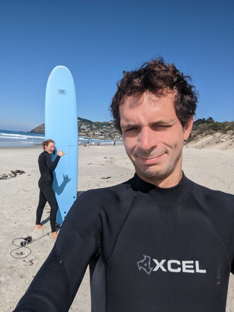
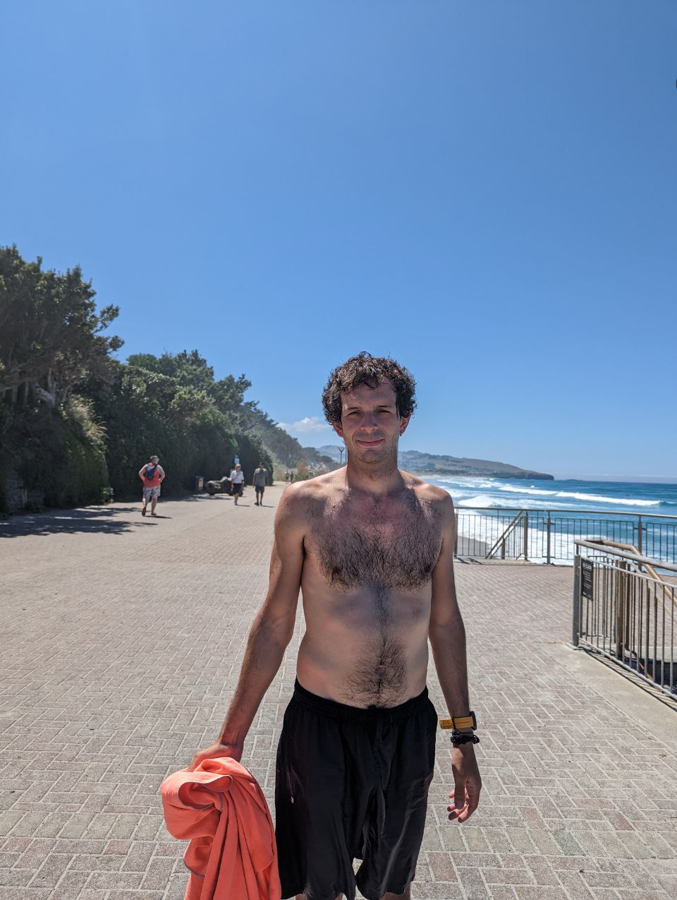
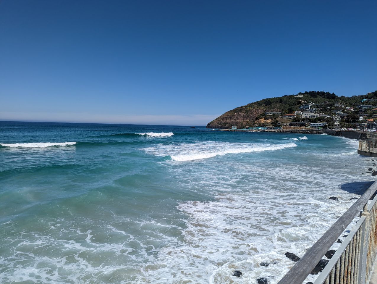
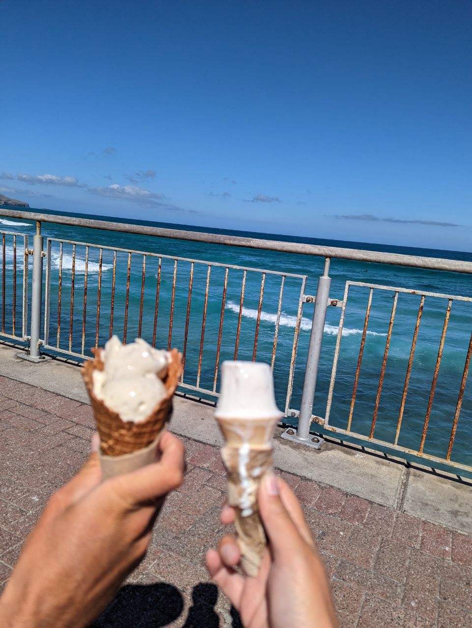
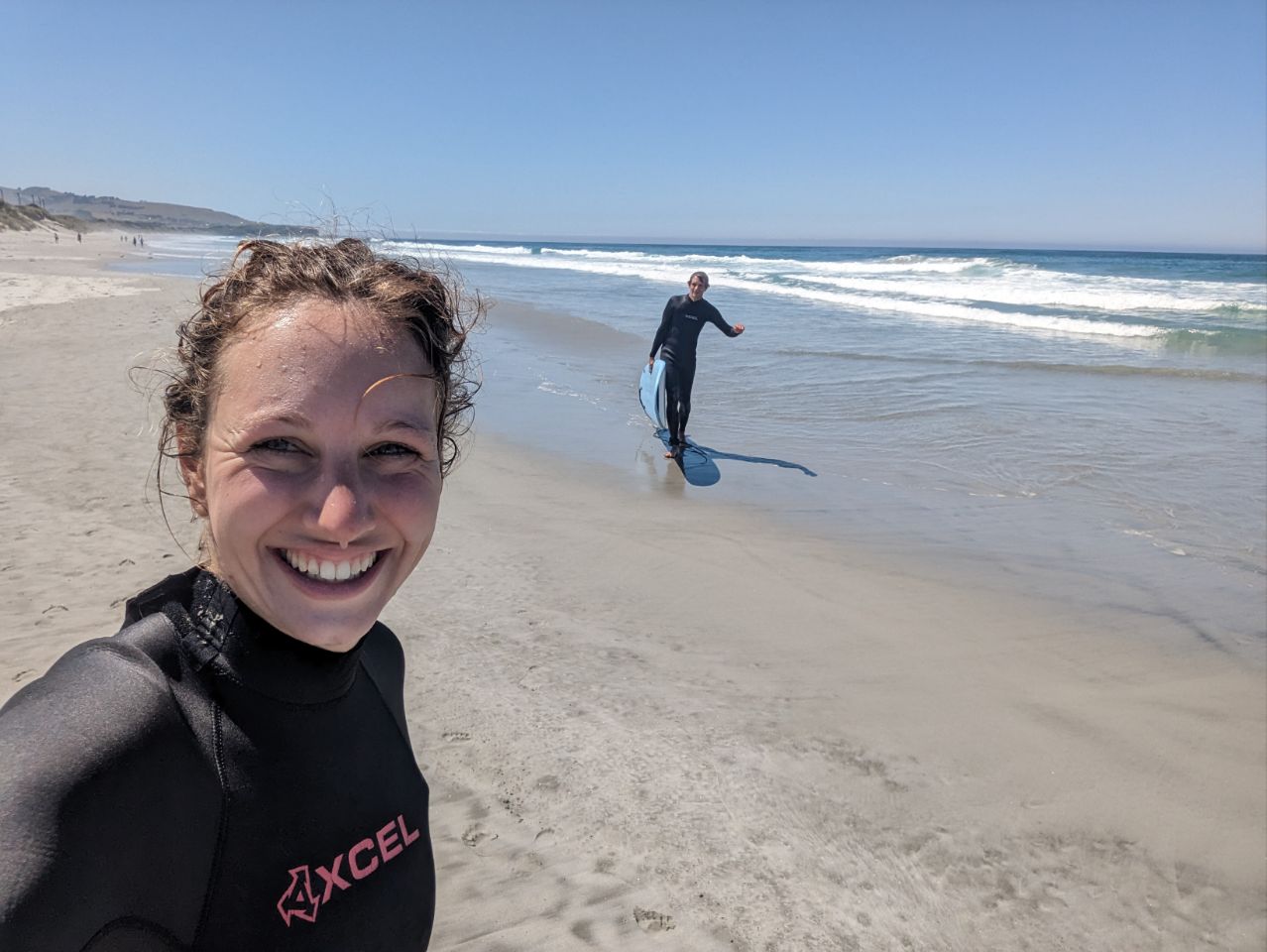
Aujourd’hui c’est Surf!! Et oui depuis notre arrivée on a toujours pas surfer la wave neo zélandais Du coup deux heures de surf bien épuisante et ensuite on se goinfre 🙂 Après midi plage et glace avant de rentrer tranquillement au camping
SAINT CLAIR
18 JANUARY 2023
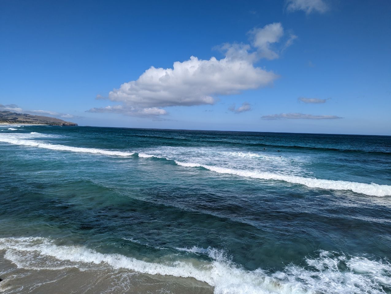

St Clair is a leafy residential suburb of Dunedin, New Zealand.[3] It is located on the Pacific Ocean coast five kilometres from the city centre on the southwesternmost part of the coastal plain which makes up the southern part of the urban area, and also climbs the slopes of Forbury Hill immediately to the west of this plain. St Clair’s 2001 population was 4,179.
History[edit]
There is known to have been Māori settlement in the area close to what is now St Clair Esplanade in pre-European times, with artefacts having been discovered close to the western end of the Esplanade and also occasionally uncovered in the dunes which lie to the east. It is believed that there was also a burial site close to Cargill’s Castle.[9] A major pre-European track led along the length of the dunes and from there over Forbury Hill to connect with the land to the south.[10]
The name Whakaherekau was used by Māori for the coastal strip encompassing parts of what are now St Kilda and St Clair. This has been translated as meaning either « To make a conciliatory present » or « A prepared snare which caught nothing ».[10]
Early European settlement in the area was led by William Henry Valpy (1793–1852). Valpy and his family arrived in New Zealand in 1849, setting up a 48 ha (120 acres) farm property centred on what are now Valpy Street and Norfolk Street. The property was named « The Forbury » after Forbury Gardens, a public gardens in Reading, Berkshire.[11] Valpy was born in Reading, where his father Richard Valpy had been a schoolmaster. Valpy was reputedly the wealthiest man in New Zealand.[12]
Chinese settlers were notable among early residents in the St Clair area, and largely through their effort the swampy land inland from the beach was drained,[9] and converted into market gardens. Much of the young city’s vegetable production was centred on Chinese allotments in an area close to what is now Macandrew Road, Forbury. Habitation remained sparse until the early twentieth century, but rapid growth immediately prior to World War I saw the population expand.
The suburb was largely populated by the city’s more wealthy residents, with impressive houses by Francis Petre built close to the beach in Cliffs Road, two of which survive.[13] Noted early residents included the Petres, the Cargills, the Sideys (including Sir Thomas Sidey), and the McIndoes. The McIndoe family included the founder of one of the city’s main printing firms, John McIndoe, and Sir Archibald McIndoe, a pioneer in the field of plastic surgery.[9]
There was also major industry in the early days of the suburb, with both horticulture and quarrying being of importance. The latter supplied many of the materials for C & W Shiel’s brickworks, one of the early city’s most important industries.[9] The brickworks lay on the eastern side of Forbury Road with a quarry to the west (the quarry is now the site of the LDS Church meetinghouse and the Francis Hodgkins Retirement village); the brickworks were fed via a conveyor over a structure which bridged Forbury Road.[14]
St Clair Beach has been a popular attraction for Dunedinites since the early days of the city. In 1912 a grandiose two-storeyed pavilion was erected on the esplanade, which was a popular if short-lived structure, burning to the ground in 1915. The site of the pavilion was later used for a band rotunda, though it too has long gone.
The cliffs above Second Beach were the site of a gun battery – part of a coastal defence system – from the 1880s until the end of World War I. Nothing now remains of the battery, the site of which was later subdivided for residential use.
In May 2013, the suburb’s esplanade began collapsing, with numerous sinkholes appearing in the walkway. Walls meant to block off the sea, built in 2004 to replace those built in the 1880s and 1914, were leaking.[15] The Esplanade was repaired, but erosion of the dunes immediately to the east continues, threatening the long-term viability of coastal properties in the vicinity.