
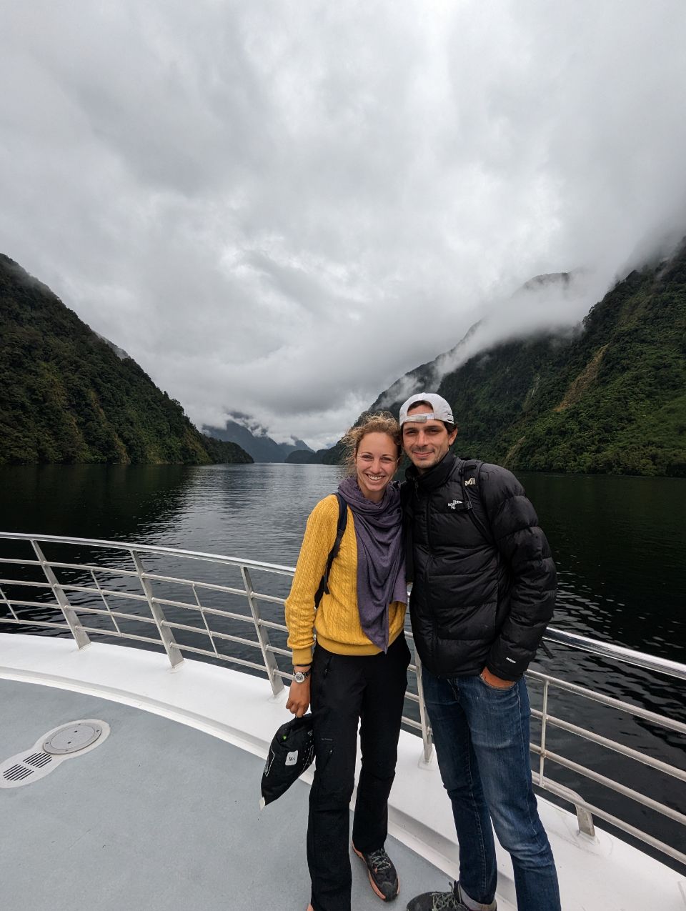
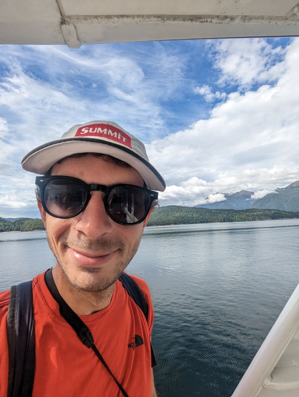
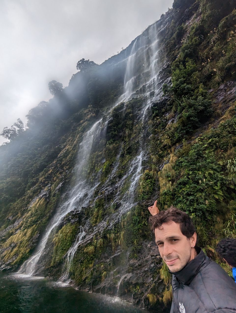
Tant qu’à être dans les Fiordland on les fait à fond !
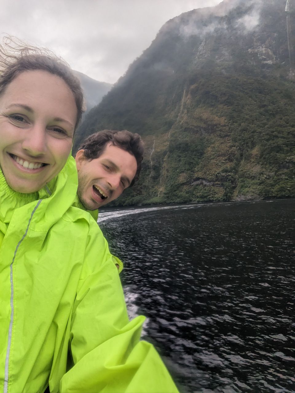
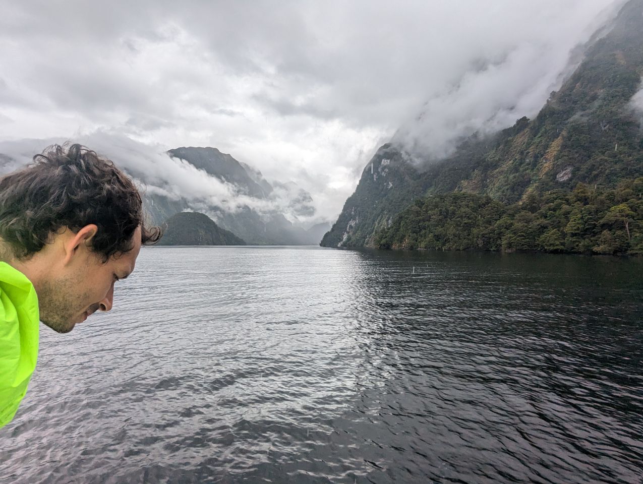
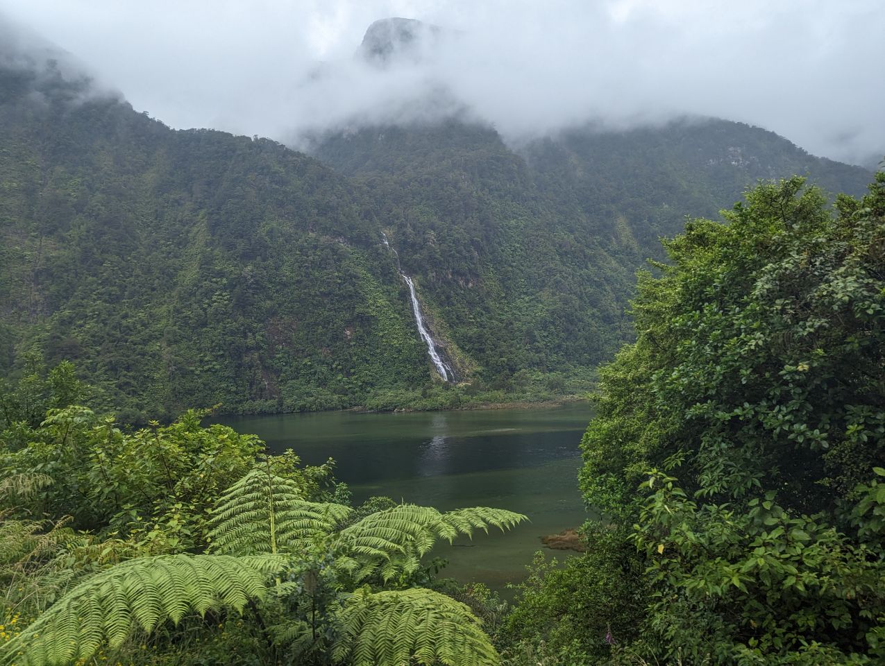
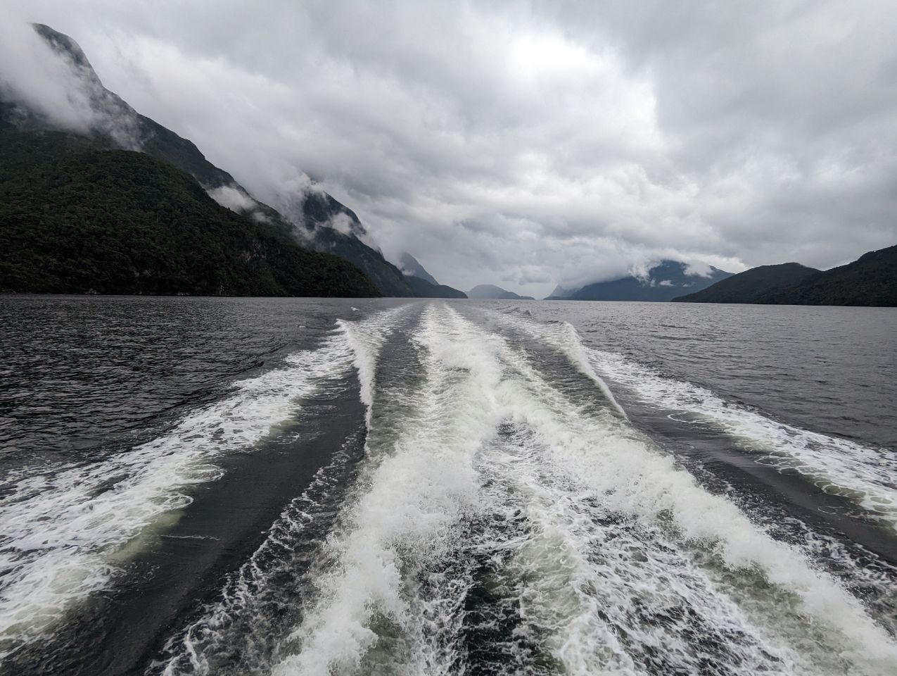
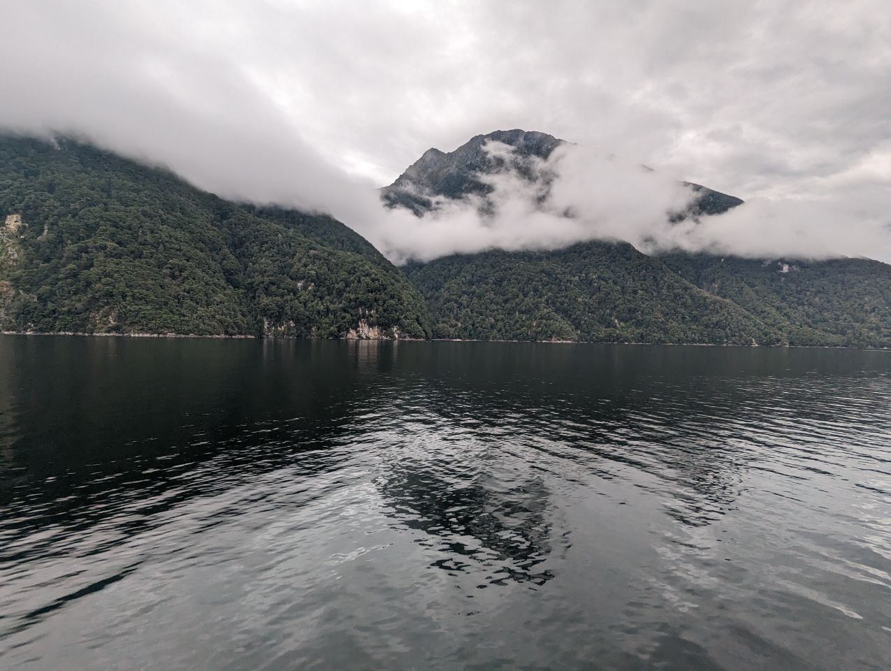
Du coup aujourd’hui c’est le tour de faire un tour dans les Doubtful Sound et honnêtement c’est bien plus beau que les Milford avec beaucoup beaucoup moins de personnes !
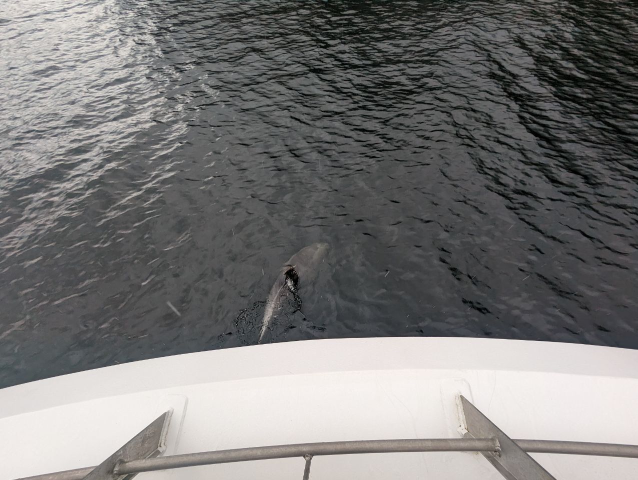
Martin a enfin réalisé son rêve ( on peut rentrer en France maintenant) : on a eu la chance de voir des DAUPHINS!
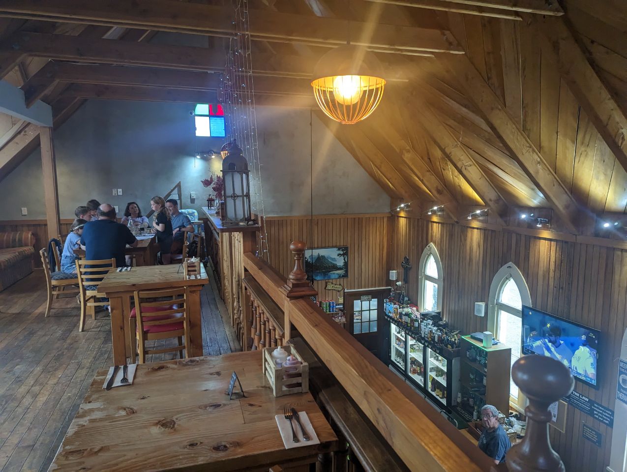
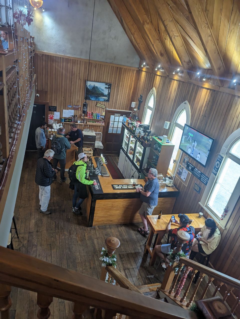
Le soir en rentrant petite bière pour cette journée bien remplie dans une ancienne église 🙂
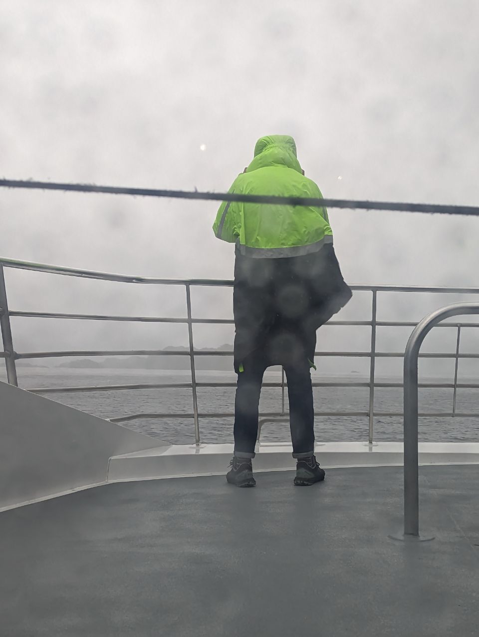
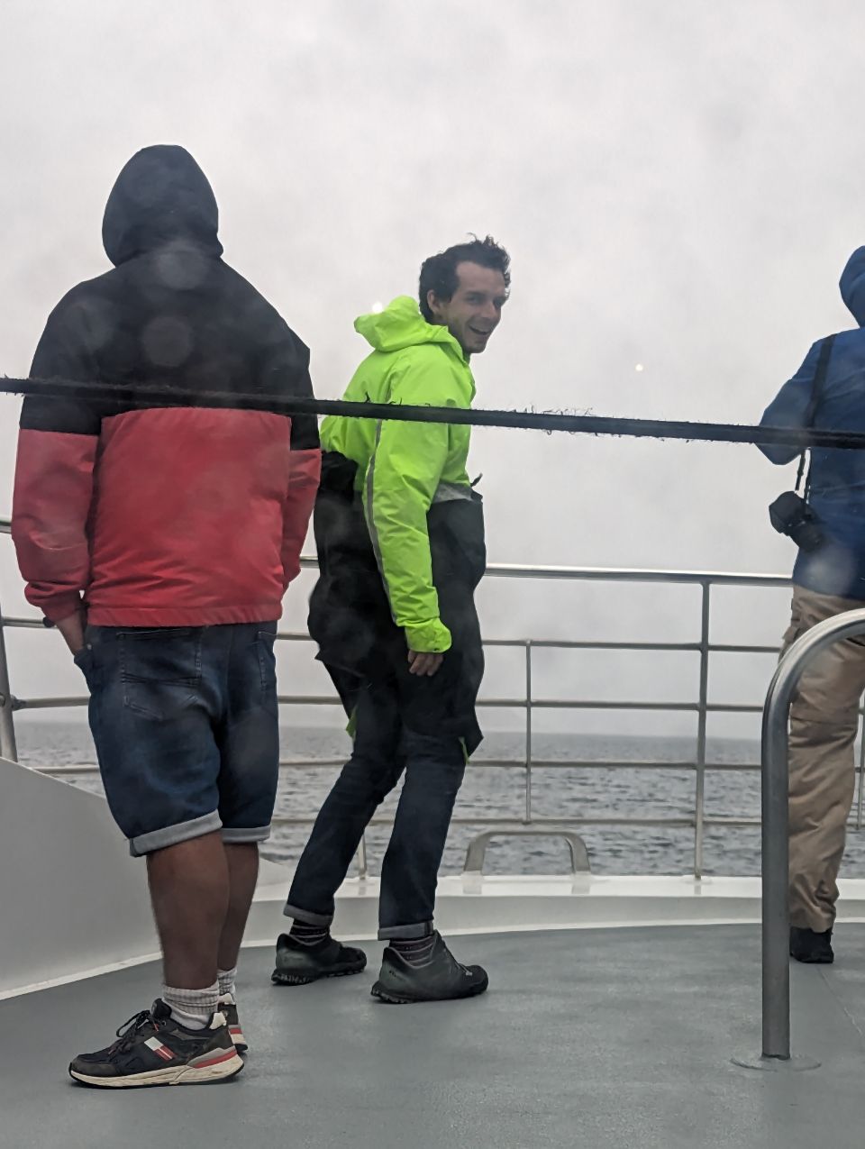
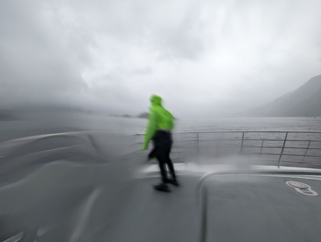
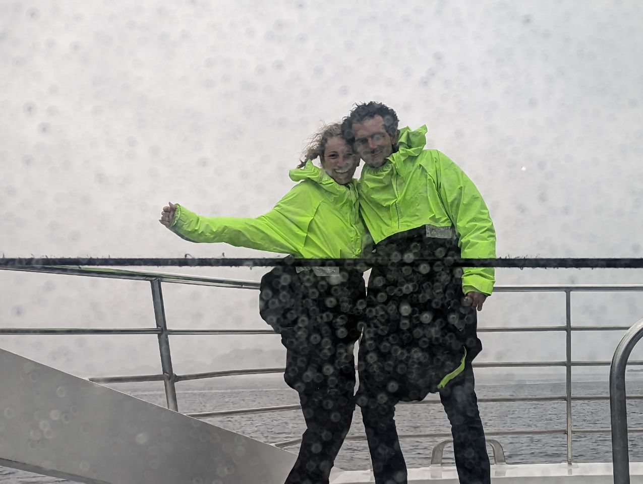
PS : Martin était le dernier survivant sur le ponton entre vent, pluie et vague , il tenait le coup, un vrai marin
PS2 : pour voir un spectaculaire saut de dauphin, il faut ouvrir la deuxième vidéo (pour l’aggrandir) et attendre la fin.
SOUTHLAND
6 JANUARY 2023
Southland (Māori: Murihiku, « the last joint of the tail ») is New Zealand‘s southernmost region. It consists mainly of the southwestern portion of the South Island and Stewart Island/Rakiura. It includes Southland District, Gore District and the city of Invercargill. Murihiku Southland is bordered by the culturally similar Otago to the north and east, and the West Coast in the extreme northwest. The region covers over 3.1 million hectares and spans over 3,400 km of coast. As of June 2022, Southland has a population of 102,400, making it the eleventh-most-populous New Zealand region, and the second-most sparsely populated.
The earliest inhabitants of Murihiku were Māori of the Waitaha iwi, followed later by Kāti Māmoe and Kāi Tahu, who were then followed by large amounts of Scottish and Irish settlers.[4][5] By the 1830s, Kāi Tahu had built a thriving industry supplying whaling vessels, looked after whalers and settlers in need, and had begun to integrate with the settlers.[6] The region maintains a strong cultural identity,[7] including its own distinct dialect of English and a very strong Māori and Scottish heritage.[5]
Politically, Murihiku proper extends from Fiordland in the west past the Mataura River to the Catlins the east. Murihiku contains New Zealand’s highest waterfall—the Browne Falls, and its deepest lake, Lake Hauroko.Fiordland’s terrain is dominated by mountains, fjords and glacial lakes carved up by glaciations during the last ice age, between 75,000 and 15,000 years ago. The region’s coast is dotted by several fjords and other sea inlets which stretch from Milford Sound in the north to Preservation Inlet to the south. Farther north and east in Fiordland lie the Darran and Eyre Mountains which are part of the block of schist that extends into neighboring Central Otago.[8] The region is extremely rich in natural resources, with large reserves of forestry, coal, petroleum, and natural gas.
History
The earliest inhabitants of Murihiku (meaning « the last joint of the tail ») were Māori of the Waitaha iwi, followed later by Kāti Māmoe and Kāi Tahu.[4] Waitaha sailed on the Uruao waka, whose captain Rakaihautū named sites and carved out lakes throughout the area. The Takitimu Mountains were formed by the overturned Kāi Tahu waka Tākitimu. Descendants created networks of customary food gathering sites, travelling seasonally as needed, to support permanent and semi-permanent settlements in coastal and inland regions.[6]
In later years, the coastline was a scene of early extended contact between Māori and Europeans, in this case sealers, whalers and missionaries such as Wohlers at Ruapuke Island.[9] Contact was established as early as 1813.[10] By the 1830s, Kāi Tahu had built a thriving industry supplying whaling vessels, looked after whalers and settlers in need, and had begun to integrate with the settlers.[6] Throughout the nineteenth century local Māori continued such regular travel from trade that a « Māori house » had to be built in 1881 to accommodate them when they travelled from Ruapuke and Stewart Island to Bluff to sell produce.[10]
On 10 June 1840, Tūhawaiki, a paramount chief of Kāi Tahu, signed the Treaty of Waitangi aboard HMS Herald at Ruapuke.[11] Aware that this treaty did not guarantee him sovereignty over his land he had previously asserted that he would sign it if those bringing it to him would sign one he had prepared himself.[12]
In 1853, Walter Mantell purchased Murihiku from local Māori iwi, claiming the land for European settlement.[13] Part of the agreement was that schools and hospitals would be provided alongside each Kāi Tahu village; this promise was not fulfilled. The boundaries of the land sold were also not made sufficiently clear, with Kāi Tahu always maintaining that Fiordland was not intended to be included in this purchase.[14]
Over successive decades, present-day Southland and Otago were settled by large numbers of Scottish settlers. Immigration to New Zealand had been precipitated by an economic depression in Scotland and a schism between the Church of Scotland and the Free Church of Scotland.[15][verification needed]
In 1852, James Menzies, leader of the Southland separatist movement, became the first Superintendent of the tiny Southland electorate which was still part of the large Otago region. Under the influence of Menzies, Southland Province (a small part of the present Region, centred on Invercargill) seceded from Otago in 1861 following the escalation of political tensions.[16]
However, rising debt forced Southland to rejoin Otago in 1870, and the province was abolished entirely when the Abolition of the Provinces Act came into force on 1 November 1876.[17]
In the 1880s, the development of an export industry based on butter and cheese encouraged the growth of dairy farming in Southland. Consequently, the colony’s first dairy factory was established at Edendale in 1882. Much of this export went to the United Kingdom.[18]
Now, Edendale is the site of the world’s largest raw milk-processing plant,[19] and Southland’s economy is based on agriculture, tourism, fishing, forestry, coal, and hydropower.[4]
Southland Region and the Southland Regional Council were created in 1989, as part of the 1989 local government reforms.[20]