The town of Whangamatā is on the southeast coast of the Coromandel Peninsula in the North Island of New Zealand. It is located 30 kilometres north of Waihi, to the north of the western extremity of the Bay of Plenty.
In holiday times the population swells considerably: New Year’s celebrations fill the town to over 25,000 though this falls soon after New Year’s Day.[3]
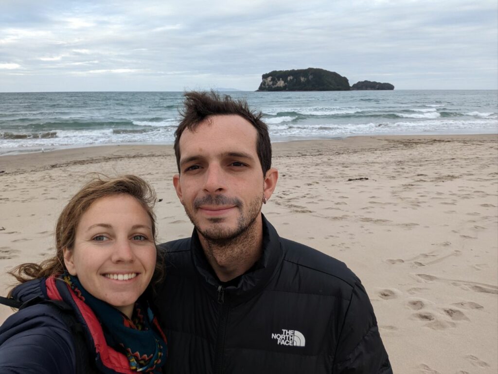
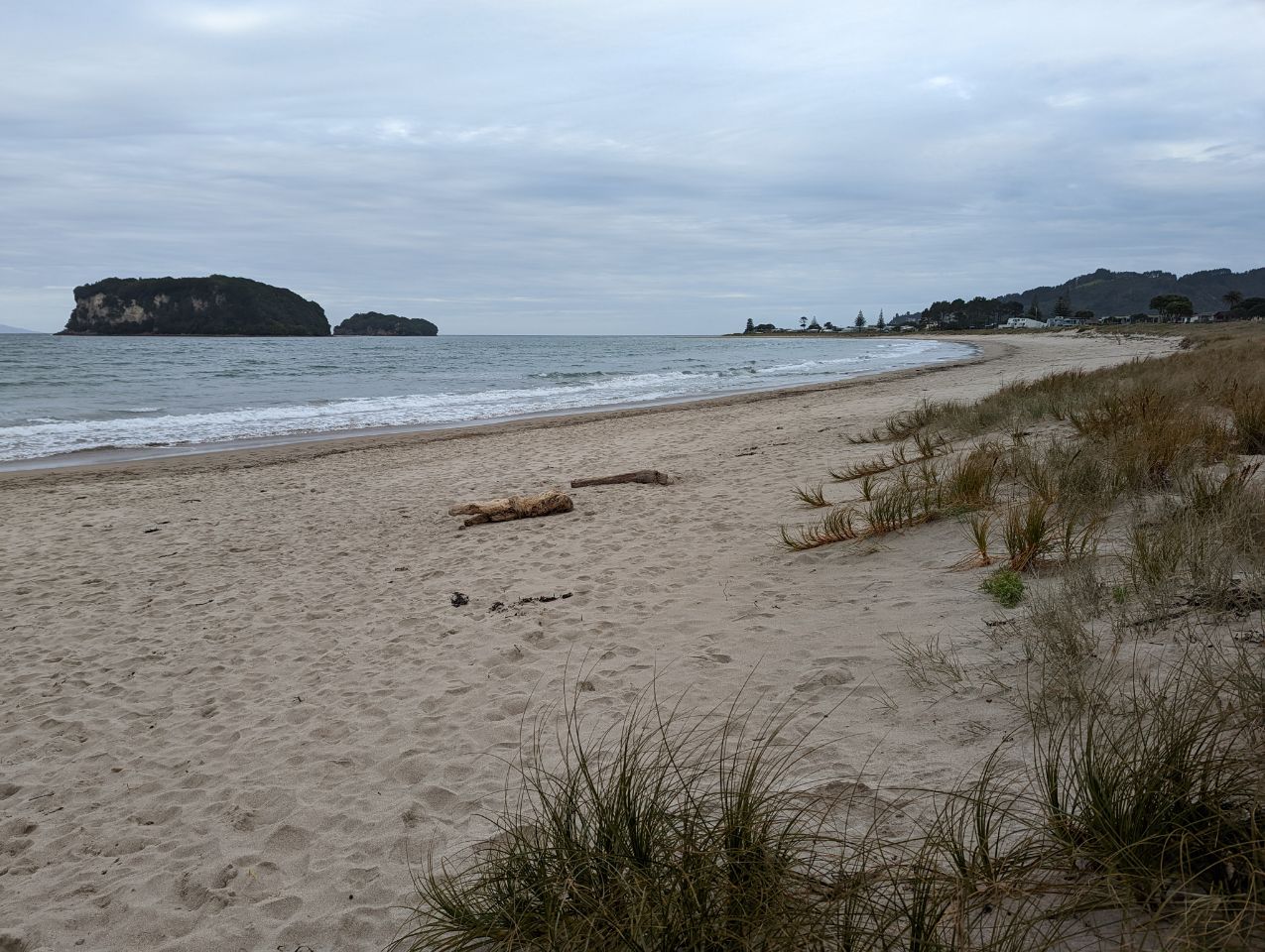
A number of off-shore islands can be seen from the beach. Hauturu or Clark Island is accessible by wading at low tide and is popular in summer months for rock-pool fossickers and kayakers. Whenuakura, sometimes known as Donut Island, sits about a kilometre east of the southern part of Whangamatā beach (Otahu Beach). Tuatara roamed on Whenuakura until fairly recently. Whenuakura Island has a large collapsed blow hole which has formed a small beach inside the island – hence the alternative name.
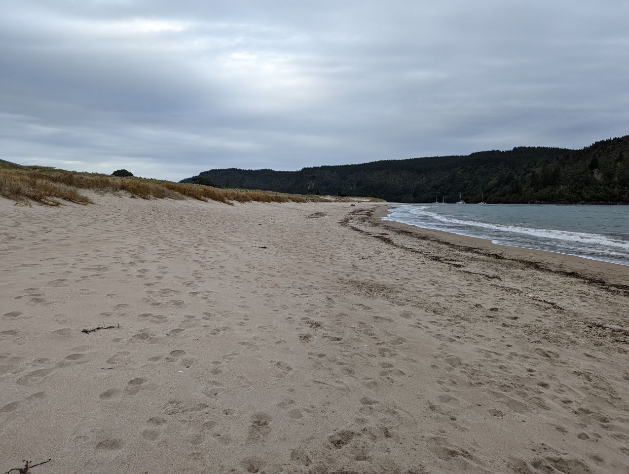
The town has two ocean beaches, both of which are extremely safe for swimming and surfing. There is a safe boating harbour at the North end of the town and another estuary at the South end. 15 minutes drive south of Whangamatā is the quietly popular beach Whiritoa. Other beaches just north of Whangamatā are Onemana and Opoutere. The Maori name ‘Whangamatā’ comes from the words ‘whanga’, which means bay, and ‘matā’, which means a hard stone, in reference to the obsidian which washes up on the beach. Areas along the coast such as Onemana were locations where matā (chert) and matā tūhua (obsidian) were found and processed into stone tools.[4]