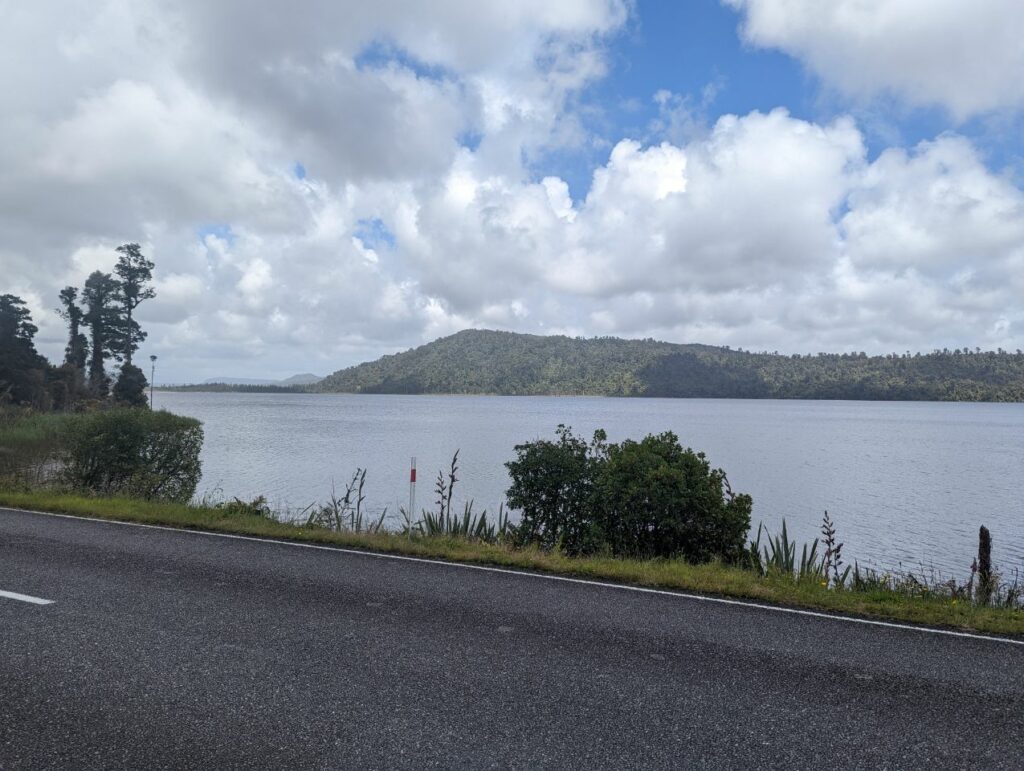
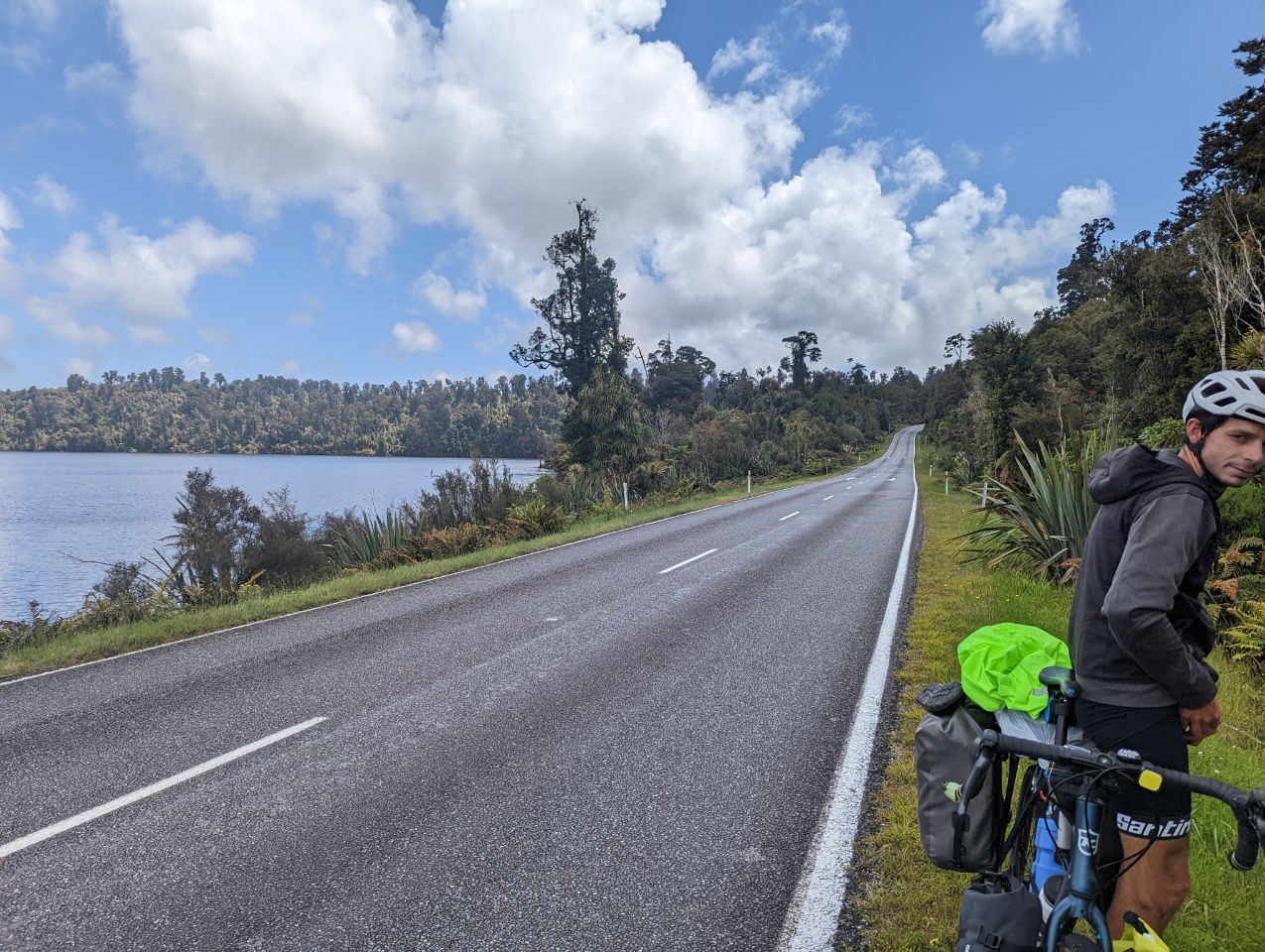
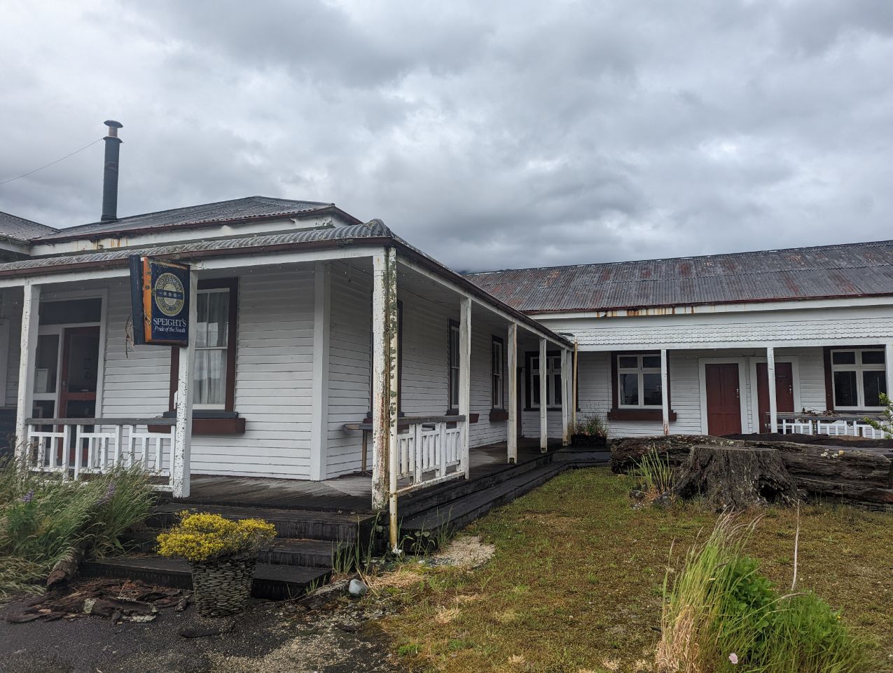
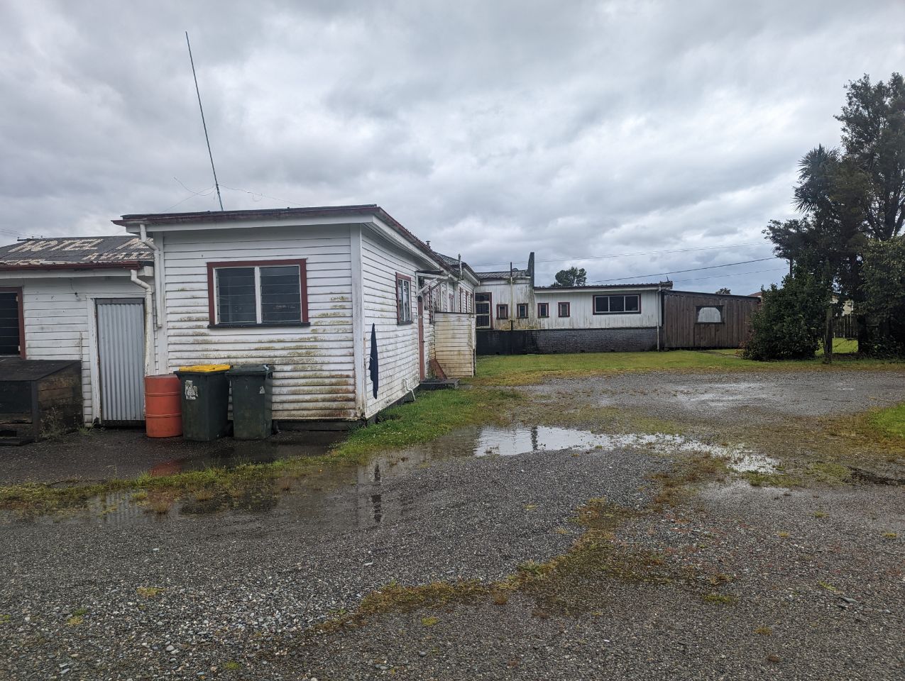
Aujourd’hui ils avaient prévu pas mal de pluie et finalement on se réveille sous le soleil et il nous suit tout le long Départ vers Harihari où on décide de continuer jusqu’à Whataroa comme il fait beau on en profite. On arrive à un hostel où on peut camper mais la proprio nous propose de dormir à l’intérieur pour le même prix…On comprends vite pourquoi quand on rentre dedans: il pleut à l’intérieur alors qu’il pleut pas dehors, le sol n’est pas droit et quand on marche les murs tremblent Mais bon ça passe pour une nuit surtout vu la pluie qui nous attendait dehors
The population of Whataroa and its surrounding area was 288 in the 2013 census, a decrease of 117 from 2006.[3]
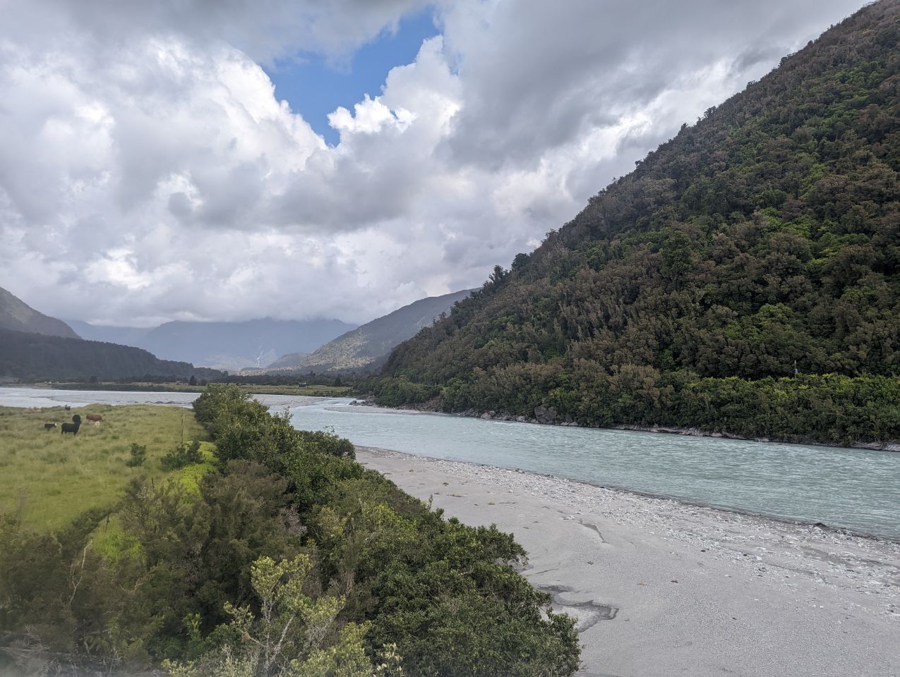
Whataroa is located in an agricultural area where dairying is the primary activity. The town contains establishments such as a school, two churches, and a dairy and tearooms. It is also a staging base for trips to a white heron sanctuary that is the only breeding location of white heron in New Zealand,[4][5] and for trips to the natural exposure of the Alpine Fault at Gaunt Creek.[6]
Te Taho, a small farming community, is located north of Whataroa on State Highway 6. It once included a maternity hospital and a number of schools.[7]
History
Whataroa was the site of cattle sales twice a year from 1875, serving farmers from around South Westland.[9] The last mob of cattle was driven to Whataroa in 1961.[10]
A dairy factory was established at Whataroa before World War I.[11]